Meall nan Eun
Located in Argyll and Bute, Scotland Coordinates: 56°33′42″ N 4°56′35″ W
- Elevation
- 928 m
- above sea level
- Local time
- UTC+00:00
- Europe/London · UTC+00:00
About Meall nan Eun
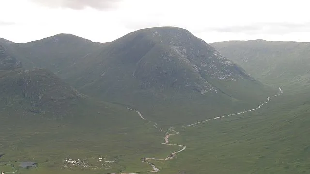
Meall nan Eun is a mountain. Location: Argyll and Bute, Scotland. Elevation: 928 m.
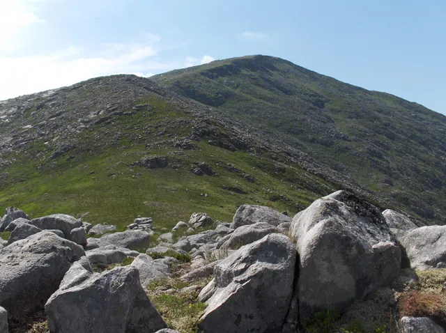
Meall nan Eun (928.1 m) is a mountain in the Grampian Mountains of Scotland. It is located east of Glen Etive in Argyll and Bute. A dome like mountain with a rounded top but steep sides, it has a summit plateau. Climbs usually start from Glen Etive and the peak is often climbed together with the nearby Munro Stob Coir'an Albannaich.
Read more on Wikipedia Text: Wikipedia contributors · CC BY-SA 4.0 · shortened
At a glance
- Topographic prominence
- 174 m
Source: Wikidata
In comparison
- No. 541 of 18223 mountains in United Kingdom by elevation
- 77 sights and natural places within 10 km Meall Tarsuinn, Meall Odhar
Nearest towns and villages
-
Glenceitlein Village, Highland5.3 km NW
-
Dalness Village, Highland6.6 km N
-
Forest Lodge Village, Argyll and Bute8.1 km E
-
Bridge of Orchy Village, Argyll and Bute12 km SE
-
Black Mount Village, Argyll and Bute9.2 km E
-
Kinlochleven Village, Highland17 km N
Nearby attractions & nature
Everything nearby-
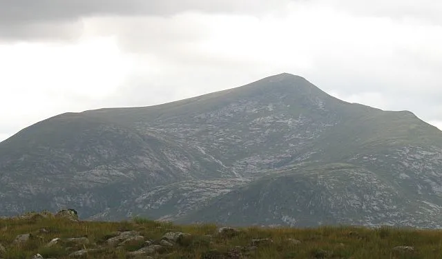 Stob Coir' an Albannaich Mountain, Highland2.4 km W
-
Meall Tarsuinn Mountain, Argyll and Bute1.3 km W
-
Meall Odhar Mountain, Highland1.4 km N
-
Cuil Ghlas Mountain, Argyll and Bute1.9 km S
-
Stob a' Bhruaich Leith Mountain, Highland1.9 km NE
-
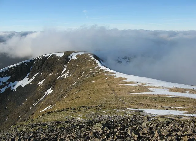 Stob Ghabhar Mountain, Argyll and Bute3.8 km E
-
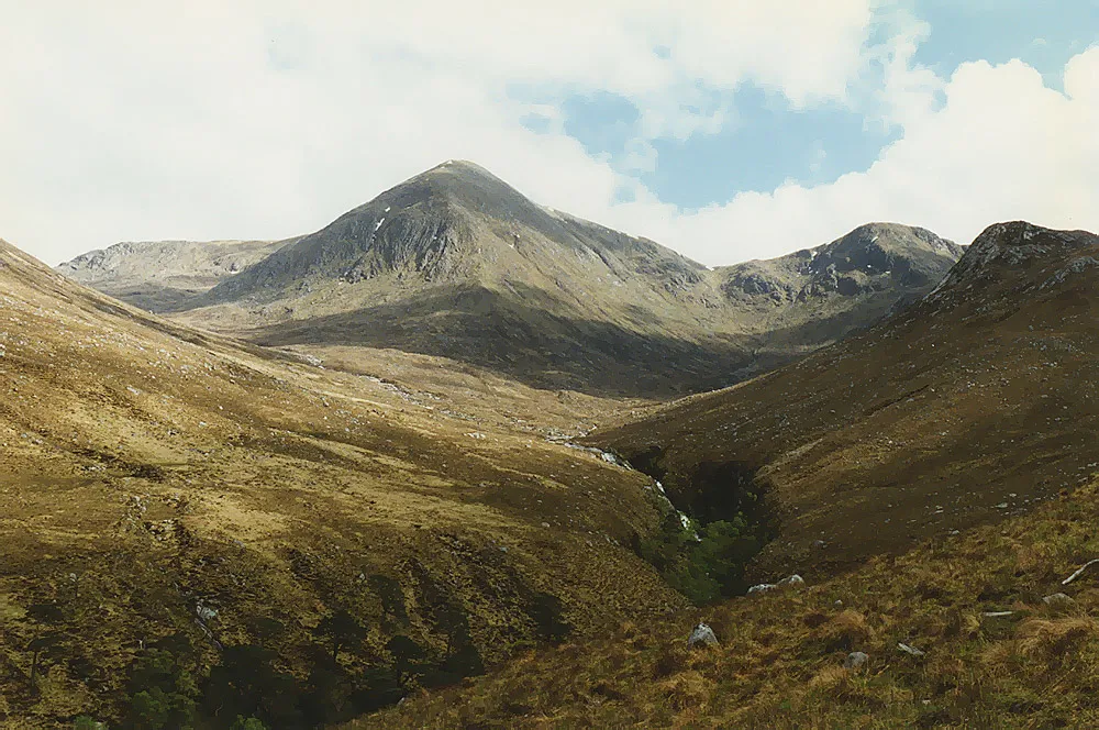 Glas Bheinn Mhor Mountain, Argyll and Bute4.4 km SW
-
Meall an Araich Mountain, Argyll and Bute2.9 km SE
More nature in United Kingdom
-
 Beinn nan Aighenan Mountain, Argyll and Bute6.2 km SW
-
Beinn Suidhe Mountain, Argyll and Bute5.3 km SE
-
Sron a' Ghearrain Mountain, Argyll and Bute2.9 km E
-
Sron na h-Iolaire Mountain, Argyll and Bute3.2 km S
-
 Beinn Fhionnlaidh Mountain, Argyll and Bute11 km NW
-
Aonach Eagach Mountain, Argyll and Bute4.3 km E
Sources & licences
Data last updated: · 2 independent sources