- Elevation
- 87 m
- above sea level
- Local time
- UTC+00:00
- Europe/London · UTC+00:00
- Airports
- GLA Glasgow Airport66 km
- PIK Glasgow Prestwick Airport102 km
About Eas a’ Ghaill
Eas a’ Ghaill is a river. Location: Argyll and Bute, Scotland. The best months to visit are July. The nearest airport is Glasgow Airport (66 km). Nearby sights include River Lochy and Garbh Eilean.
Climate of Eas a’ Ghaill
Best months for sightseeingBest months for sightseeing: July.
This month · November
A wet month
Day 9° · Night 4° · Rain 232 mm
- Hottest month
- July (day 18°)
- Coldest month
- January (night 2°)
- Wettest month
- January (258 mm)
- Driest month
- June (105 mm)
Bars: average monthly low and high temperature. Below: precipitation. Monthly averages for 1970–2000 at about 18 km resolution, adjusted for elevation. Highlighted months are mild and relatively dry. Source: WorldClim 2.1 (CC BY 4.0).
Show values as a table
| Month | Jan | Feb | Mar | Apr | May | Jun | Jul | Aug | Sep | Oct | Nov | Dec |
|---|---|---|---|---|---|---|---|---|---|---|---|---|
| Average high (°C) | 6° | 7° | 8° | 11° | 14° | 16° | 18° | 17° | 15° | 12° | 9° | 7° |
| Average low (°C) | 2° | 2° | 3° | 4° | 7° | 9° | 11° | 11° | 9° | 7° | 4° | 2° |
| Precipitation (mm) | 258 | 168 | 188 | 111 | 107 | 105 | 122 | 146 | 200 | 230 | 232 | 238 |
Other places to visit in this season: July
How to get to Eas a’ Ghaill
The nearest airport is Glasgow Airport (GLA), 66 km to the southeast as the crow flies. The nearest large city is Glasgow, 72 km to the southeast.
Airports
- Glasgow Airport (GLA) Glasgow 66 kmsoutheast
- Glasgow Prestwick Airport (PIK) Prestwick, South Ayrshire 102 kmsouth
- Edinburgh Airport (EDI) Ingliston, Edinburgh 108 kmsoutheast
Nearby large cities
- Glasgow Population: 626.4K 72 kmsoutheast
- Edinburgh Population: 515K 118 kmsoutheast
- Dundee Population: 148.2K 120 kmeast
- Aberdeen Population: 198.6K 191 kmnortheast
- Belfast Population: 348K 211 kmsouth
Straight-line distances; road distances are longer. Airport data: OurAirports.
Nearest towns and villages
-
Dalmally Village, Argyll and Bute3.8 km W
-
Edendonich Village, Argyll and Bute4.1 km W
-
Stronmilchan Village, Argyll and Bute5.4 km W
-
Lochawe Village, Argyll and Bute8.1 km W
-
Bridge of Orchy Village, Argyll and Bute16 km NE
-
Ardanaiseig Village, Argyll and Bute12 km W
Nearby attractions & nature
Everything nearby-
River Lochy River, Argyll and Bute0.3 km N
-
Garbh Eilean Island, Argyll and Bute1.5 km NW
-
River Orchy River, Argyll and Bute1.9 km W
-
A' Chreag Mountain, Argyll and Bute2.7 km NW
-
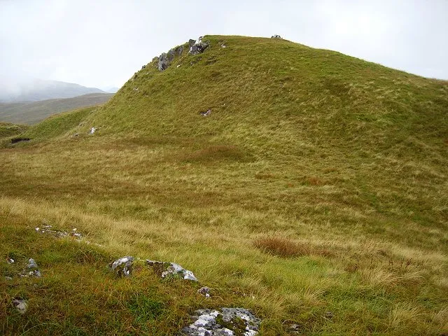 Beinn Bhalgairean Mountain, Argyll and Bute2.9 km S
-
Beinn na Sroine Mountain, Argyll and Bute3.6 km NE
-
Beinn Bhoidheach Mountain, Argyll and Bute4.1 km S
-
Eilean a' Phortair Island, Argyll and Bute4.3 km W
Sources & licences
Data last updated: