Fladda
Located in Argyll and Bute, Scotland Coordinates: 56°30′34″ N 6°23′31″ W
- Elevation
- 19 m
- above sea level
- Local time
- UTC+00:00
- Europe/London · UTC+00:00
About Fladda
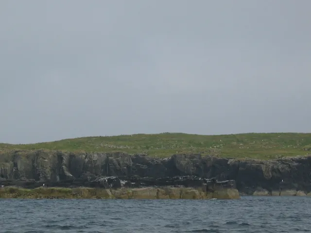
Fladda is an island. Location: Argyll and Bute, Scotland.
Fladda is the northernmost of the Treshnish Isles. Its name comes from the Old Norse Flat-ey meaning "flat island". Fladda is owned by the Hebridean Trust.
Read more on Wikipedia Text: Wikipedia contributors · CC BY-SA 4.0 · shortened
At a glance
- Area
- 21 ha
Source: Wikidata
In comparison
- 35 sights and natural places within 10 km Sgeir na h-iolaire, Bogha Ruadh
Nearest towns and villages
Nearby attractions & nature
Everything nearby-
Sgeir na h-iolaire Island, Argyll and Bute0.9 km W
-
Cairn na Burgh More Island, Argyll and Bute1.2 km NE
-
Bogha Ruadh Island, Argyll and Bute1.1 km S
-
Treshnish Isles Island, Argyll and Bute1.1 km SW
-
Sgeirean Mhic Fhionnlaidh Island, Argyll and Bute1.2 km N
-
Cairn na Burgh Beg Island, Argyll and Bute1.4 km NE
-
Sgeir an Eirionnaich Island, Argyll and Bute1.4 km SW
-
Sgeir na Fheoir Island, Argyll and Bute1.3 km SW
More lakes, rivers and coasts in United Kingdom
-
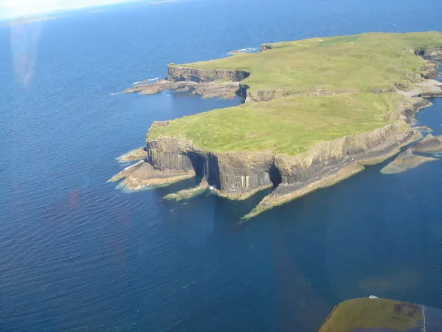 Staffa Island, Argyll and Bute8.7 km S
-
Sgeir a' Chaisteil Island, Argyll and Bute2.2 km SW
-
Sgeirean na Giussaich Island, Argyll and Bute1.6 km SW
-
Tighchoie Island, Argyll and Bute1.7 km W
-
Lunga Island, Argyll and Bute2.8 km SW
-
Sgeirean Mor Island, Argyll and Bute2.1 km SW
Sources & licences
Data last updated: · 2 independent sources