Hells Glen
Located in Argyll and Bute, Scotland Coordinates: 56°13′00″ N 4°56′00″ W
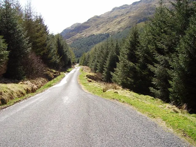
- Elevation
- 352 m
- above sea level
- Local time
- UTC+00:00
- Europe/London · UTC+00:00
About Hells Glen
Hells Glen is a natural site. Location: Argyll and Bute, Scotland.
Hell's Glen is a glen in Argyll and Bute, Scotland, within the Arrochar Alps. The B839 single-track road passes through the glen. To the west, the glen leads to Loch Fyne and to the east Lochgoilhead. Glen Mhor (B828) joins the glen about half way along and leads to Glen Croe at the Rest and be thankful viewpoint. The glen is named from its name in Gaelic, Gleann Iarainn.
Read more on Wikipedia Text: Wikipedia contributors · CC BY-SA 4.0 · shortened
In comparison
- 59 sights and natural places within 10 km Stob an Eas, Stob Liath
Nearest towns and villages
-
Ardno Village, Argyll and Bute3.7 km NW
-
Laglingarten Village, Argyll and Bute4.1 km W
-
Cairndow Village, Argyll and Bute4.3 km N
-
Inveraray Village, Argyll and Bute8.9 km W
-
Lochgoilhead Village, Argyll and Bute5.6 km S
-
Clachan Village, Argyll and Bute6.2 km N
Nearby attractions & nature
Everything nearby-
Stob an Eas Mountain, Argyll and Bute0.9 km N
-
Stob Liath Mountain, Argyll and Bute1.5 km S
-
Cruach nam Mult Mountain, Argyll and Bute1.7 km SW
-
Beinn an t-Seilich Mountain, Argyll and Bute2.2 km NE
-
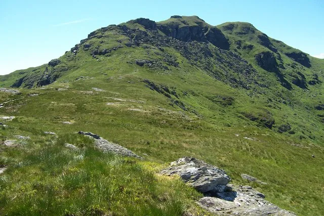 Ben Donich Mountain, Argyll and Bute4.3 km SE
-
Mullach Coire a' Chuir Mountain, Argyll and Bute3.3 km S
-
Cruach nan Capull Mountain, Argyll and Bute3.4 km W
-
Monadh Beag Mountain, Argyll and Bute3.7 km S
More nature in United Kingdom
-
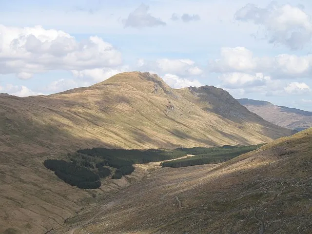 Beinn Lochain Mountain, Argyll and Bute6.3 km S
-
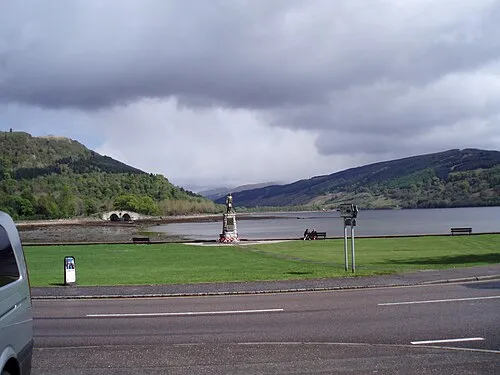 Glen Shira Natural site, Argyll and Bute8.5 km NW
-
Ben Donich North Top Mountain, Argyll and Bute3.7 km SE
-
Beinn an Lochain Mountain, Argyll and Bute3.8 km NE
-
Stob na Boine Druim-fhinn Mountain, Argyll and Bute4.2 km S
-
Beinn Tharsuinn Mountain, Argyll and Bute5.2 km S
Sources & licences
Data last updated: · 2 independent sources