Ben Donich
Located in Argyll and Bute, Scotland Coordinates: 56°11′54″ N 4°52′23″ W
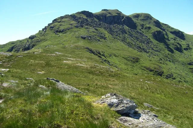
- Elevation
- 847 m
- above sea level
- Local time
- UTC+00:00
- Europe/London · UTC+00:00
About Ben Donich
Ben Donich is a mountain. Location: Argyll and Bute, Scotland. Elevation: 847 m.
Ben Donich or Beinn Dòmhnaich is a mountain located in the Arrochar Alps, near Loch Goil in Argyll and Bute. It is a Corbett and part of the Ardgoil range with its sister The Brack. The closest settlement to Ben Donich is the village of Lochgoilhead. At 846.5 metres, Ben Donich is the highest mountain on the Ardgoil peninsula. It is a fairly extensive mountain, essentially a square pyramid with its summit at the centre of four ridges.
Read more on Wikipedia Text: Wikipedia contributors · CC BY-SA 4.0 · shortened
In comparison
- No. 989 of 18223 mountains in United Kingdom by elevation
- 62 sights and natural places within 10 km Ben Donich North Top, Glen Croe
Nearest towns and villages
-
Lochgoilhead Village, Argyll and Bute3.6 km SW
-
Ardgartan Village, Argyll and Bute5.7 km E
-
Cairndow Village, Argyll and Bute7.5 km NW
-
Succoth Village, Argyll and Bute7.9 km E
-
Arrochar Village, Argyll and Bute7.9 km E
-
Glenmallan Village, Argyll and Bute8.6 km SE
Nearby attractions & nature
Everything nearby-
Ben Donich North Top Mountain, Argyll and Bute0.6 km NW
-
Glen Croe Natural site, Argyll and Bute2.5 km E
-
The Brack SW Top Mountain, Argyll and Bute2.7 km SE
-
The Brack Mountain, Argyll and Bute3 km SE
-
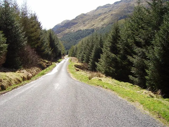 Hells Glen Natural site, Argyll and Bute4.3 km NW
-
Monadh Beag Mountain, Argyll and Bute3.3 km SW
-
Beinn an Lochain Mountain, Argyll and Bute3.5 km N
-
The Steeple East Top Mountain, Argyll and Bute3.6 km S
More nature in United Kingdom
-
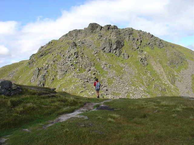 Beinn Narnain Mountain, Argyll and Bute5.8 km NE
-
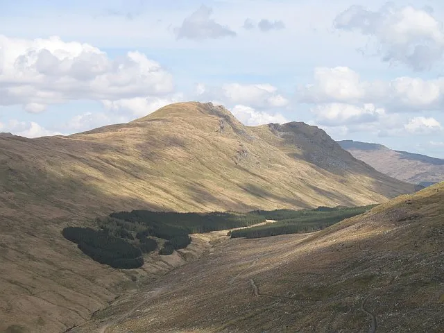 Beinn Lochain Mountain, Argyll and Bute6.9 km SW
-
The Steeple Mountain, Argyll and Bute3.6 km S
-
Cnoc Coinnich Mountain, Argyll and Bute3.9 km SE
-
Beinn an t-Seilich Mountain, Argyll and Bute4 km NW
-
Stob Liath Mountain, Argyll and Bute4 km W
Sources & licences
Data last updated: · 2 independent sources