Killiemor
Located in Argyll and Bute, Scotland Coordinates: 56°28′58″ N 6°04′56″ W
- Elevation
- 60 m
- above sea level
- Local time
- UTC+00:00
- Europe/London · UTC+00:00
About Killiemor
Killiemor is a village. Location: Argyll and Bute, Scotland. Elevation: 60 m.
In comparison
- Nearest larger town: Tobermory, 16 km N
- 71 sights and natural places within 10 km Cnoc na Di-chuimhne, Creag nam Fitheach
Nearby attractions & nature
Everything nearby-
Cnoc na Di-chuimhne Mountain, Argyll and Bute0.6 km N
-
Creag nam Fitheach Mountain, Argyll and Bute1.4 km NW
-
Eorsa Island Island, Argyll and Bute1.8 km S
-
Loch na Keal Natural site, Argyll and Bute2 km SE
-
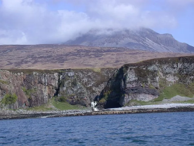 Inner Hebrides Island, Argyll and Bute5.4 km E
-
Beinn Bhuidhe na Coille Moire Mountain, Argyll and Bute2.2 km N
Sources & licences
Data last updated: