- Elevation
- 500 m
- above sea level
- Local time
- UTC+00:00
- Europe/London · UTC+00:00
- Airports
- GLA Glasgow Airport66 km
- EDI Edinburgh Airport101 km
About Lochan na Bi
Lochan na Bi is a lake. Location: Argyll and Bute, Scotland. Elevation: 500 m. The nearest airport is Glasgow Airport (66 km). Nearby sights include Drochaid an Droma and Sron nan Colan.
Photos of Lochan na Bi
-
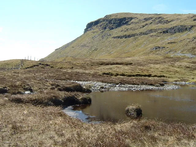
Beinn Udlaidh Jim Barton · CC BY-SA 2.0 -
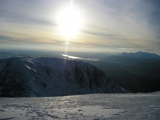
Beinn a' Chleibh Kathryn Mair · CC BY-SA 2.0 -
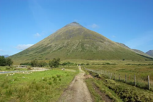
Beinn Dorain Michael Schulze · CC BY-SA 2.5 -
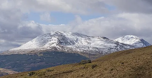
Ben Oss John Knight from Clackmannanshire, Scotland · CC BY 2.0 -
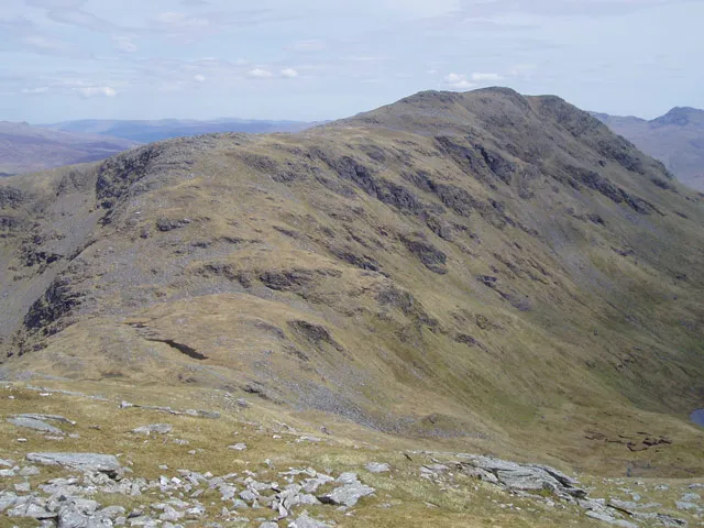
Beinn Dubhchraig John Armitstead · CC BY-SA 2.0


Climate of Lochan na Bi
This month · November
A wet month
Day 6° · Night 1° · Rain 252 mm
- Hottest month
- July (day 15°)
- Coldest month
- February (night -1°)
- Wettest month
- January (288 mm)
- Driest month
- June (113 mm)
Bars: average monthly low and high temperature. Below: precipitation. Monthly averages for 1970–2000 at about 18 km resolution, adjusted for elevation. Highlighted months are mild and relatively dry. Source: WorldClim 2.1 (CC BY 4.0).
Show values as a table
| Month | Jan | Feb | Mar | Apr | May | Jun | Jul | Aug | Sep | Oct | Nov | Dec |
|---|---|---|---|---|---|---|---|---|---|---|---|---|
| Average high (°C) | 3° | 4° | 5° | 8° | 11° | 13° | 15° | 15° | 12° | 9° | 6° | 4° |
| Average low (°C) | -1° | -1° | 0° | 1° | 4° | 6° | 8° | 8° | 7° | 4° | 1° | -1° |
| Precipitation (mm) | 288 | 187 | 206 | 121 | 121 | 113 | 129 | 155 | 215 | 251 | 252 | 260 |
How to get to Lochan na Bi
The nearest airport is Glasgow Airport (GLA), 66 km to the south as the crow flies. The nearest large city is Glasgow, 70 km to the southeast.
Airports
- Glasgow Airport (GLA) Glasgow 66 kmsouth
- Edinburgh Airport (EDI) Ingliston, Edinburgh 101 kmsoutheast
- Glasgow Prestwick Airport (PIK) Prestwick, South Ayrshire 104 kmsouth
Nearby large cities
- Glasgow Population: 626.4K 70 kmsoutheast
- Dundee Population: 148.2K 110 kmeast
- Edinburgh Population: 515K 110 kmsoutheast
- Aberdeen Population: 198.6K 180 kmnortheast
- Belfast Population: 348K 218 kmsouth
Straight-line distances; road distances are longer. Airport data: OurAirports.
Day trips from Lochan na Bi
Within 100 km: 125 historic and cultural sites, 4,438 natural sites, 1,291 lakes, rivers and coasts.
0–25 km428 places
- Inishail Island 22 kmW
- Fraoch Eilean Island 19 kmW
- Island I Vow Island 18 kmS
- Inveruglas Isle Island 21 kmS
25–60 km2,009 places
- Eriska Island 42 kmW
- Torsa Island Island 57 kmW
- Shuna Island Island 43 kmNW
- Shuna Island 58 kmSW
60–100 km3,417 places
- Isle of Arran Island 98 kmS
- Great Cumbrae Island Island 75 kmS
- Colonsay Island 100 kmSW
- Troon Beach Beach 100 kmS
Straight-line distances.
Nearest towns and villages
-
Clifton Village, Stirling1.9 km E
-
Tyndrum Village, Stirling2.3 km E
-
Auch Village, Argyll and Bute5.6 km N
-
Auchtertyre Village, Stirling5 km E
-
Bridge of Orchy Village, Argyll and Bute9.1 km N
-
Crianlarich Village, Stirling9.1 km SE
Nearby attractions & nature
Everything nearby-
Drochaid an Droma Mountain, Stirling0.4 km NW
-
Sron nan Colan Mountain, Argyll and Bute0.6 km E
-
Meall Odhar Mountain, Stirling0.8 km SW
-
Beinn Bheag Mountain, Argyll and Bute2.5 km NE
-
Beinn Udlaidh Mountain, Argyll and Bute3.9 km NW
-
Beinn Chuirn Mountain, Stirling2.7 km SW
-
Beinn Dubhchraig Mountain, Stirling4.7 km S
-
Beinn Bhreac-liath Mountain, Argyll and Bute3.7 km N
Sources & licences
Data last updated: