- Elevation
- 544 m
- above sea level
- Local time
- UTC+00:00
- Europe/London · UTC+00:00
- Airports
- TRE Tiree Airport63 km
- ILY Islay Airport86 km
About Sgulan Mor
Sgulan Mor is a mountain. Location: Argyll and Bute, Scotland. Elevation: 544 m.
In comparison
- No. 4076 of 18223 mountains in United Kingdom by elevation
- 53 sights and natural places within 10 km Sgulan Beag, Maol a' Ghearraidh
Climate of Sgulan Mor
Bars: average monthly low and high temperature. Below: precipitation. Monthly averages for 1970–2000 at about 18 km resolution, adjusted for elevation. Highlighted months are mild and relatively dry. Source: WorldClim 2.1 (CC BY 4.0).
Show values as a table
| Month | Jan | Feb | Mar | Apr | May | Jun | Jul | Aug | Sep | Oct | Nov | Dec |
|---|---|---|---|---|---|---|---|---|---|---|---|---|
| Average high (°C) | 4° | 4° | 5° | 8° | 11° | 13° | 14° | 14° | 12° | 9° | 6° | 4° |
| Average low (°C) | 1° | 1° | 1° | 2° | 5° | 7° | 9° | 9° | 7° | 5° | 3° | 1° |
| Precipitation (mm) | 277 | 170 | 218 | 128 | 105 | 108 | 136 | 164 | 225 | 245 | 256 | 250 |
Airports nearest to Sgulan Mor
- Tiree Airport (TRE) Balemartine, Argyll and Bute 63 km
- Islay Airport (ILY) Isle of Islay, Argyll and Bute 86 km
- Glasgow Airport (GLA) Glasgow 108 km
Straight-line distance; airports with scheduled flights only. Source: OurAirports (public domain).
Nearest towns and villages
-
Isle of Mull Village, Argyll and Bute6.2 km NE
-
Strathcoil Village, Argyll and Bute6.7 km E
-
Lochbuie Village, Argyll and Bute7.3 km S
-
Knock Village, Argyll and Bute9 km NW
-
Pennygown Village, Argyll and Bute9.1 km N
-
Croggan Village, Argyll and Bute10 km SE
Nearby attractions & nature
Everything nearby-
Sgulan Beag Mountain, Argyll and Bute0.9 km W
-
Maol a' Ghearraidh Mountain, Argyll and Bute1 km NE
-
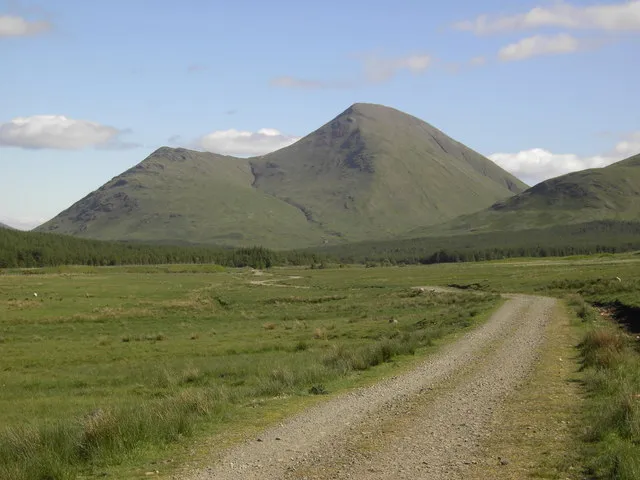 Beinn Talaidh Mountain, Argyll and Bute2.6 km N
-
Isle of Mull Island, Argyll and Bute2.4 km W
-
Cruach Choireadail Mountain, Argyll and Bute2.9 km SW
-
Beinn Bheag Mountain, Argyll and Bute3.2 km N
-
Beinn a' Mheadhain Mountain, Argyll and Bute3.3 km W
-
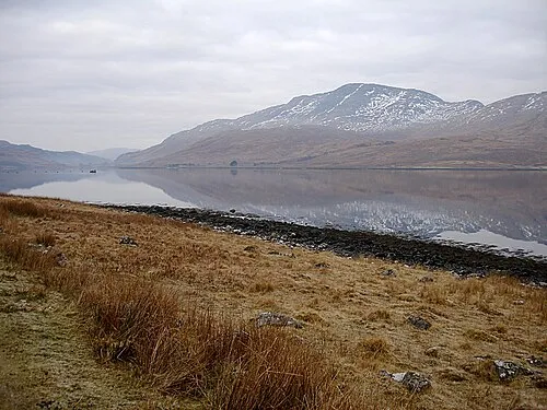 Creach Beinn Mountain, Argyll and Bute5.1 km SE
More nature in United Kingdom
-
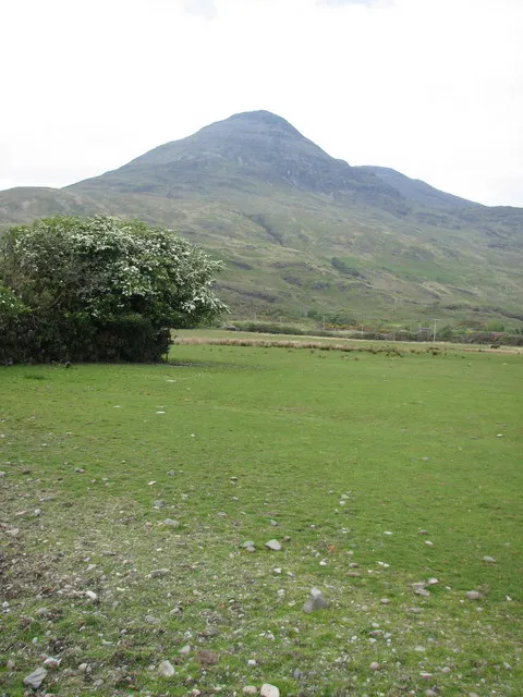 Ben Buie Mountain, Argyll and Bute5.3 km S
-
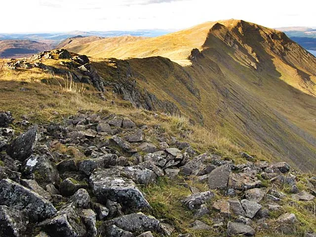 Dun da Ghaoithe Mountain, Argyll and Bute6.7 km NE
-
Beinn Fhada Mountain, Argyll and Bute3.7 km SE
-
Beinn na Duatharach Mountain, Argyll and Bute4.4 km N
-
Corra-bheinn Mountain, Argyll and Bute4.6 km W
-
Maol Buidhe Mountain, Argyll and Bute4.7 km W
Sources & licences
Data last updated: