Dun da Ghaoithe
Located in Argyll and Bute, Scotland Coordinates: 56°27′38″ N 5°46′46″ W
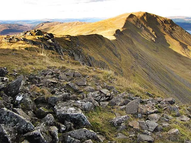
- Elevation
- 766 m
- above sea level
- Local time
- UTC+00:00
- Europe/London · UTC+00:00
About Dun da Ghaoithe
Dun da Ghaoithe is a mountain. Location: Argyll and Bute, Scotland. Elevation: 766 m.
Dùn da Ghaoithe (Scottish Gaelic: Dùn da Ghaoithe, meaning "fort of the two winds") is the second highest mountain on the Isle of Mull, western Scotland, and the island's only Corbett. It reaches 766 metres (2,513 ft) high, but "its long ridge and deep corries make it seem far higher". It boasts sea views "in almost every direction", and is the main mountain seen by visitors to the island on leaving the Caledonian MacBrayne ferry from Oban at Craignure.
Read more on Wikipedia Text: Wikipedia contributors · CC BY-SA 4.0 · shortened
At a glance
- Topographic prominence
- 659 m
Source: Wikidata
In comparison
- No. 1502 of 18223 mountains in United Kingdom by elevation
- 44 sights and natural places within 10 km Mainnir nam Fiadh, Beinn Thunacaraidh
Nearest towns and villages
-
Isle of Mull Village, Argyll and Bute1.5 km S
-
Craignure Village, Argyll and Bute5 km E
-
Strathcoil Village, Argyll and Bute5.6 km S
-
Lochdon Village, Argyll and Bute6.7 km SE
-
Pennygown Village, Argyll and Bute8.6 km NW
-
Glen Forsa Village, Argyll and Bute9.5 km NW
Nearby attractions & nature
Everything nearby-
Mainnir nam Fiadh Mountain, Argyll and Bute0.9 km SE
-
Beinn Thunacaraidh Mountain, Argyll and Bute1.4 km NW
-
Sgurr Dearg Mountain, Argyll and Bute2.3 km S
-
Beinn Mheadhan Mountain, Argyll and Bute2.4 km NW
-
Beinn Bhearnach Mountain, Argyll and Bute3.3 km S
-
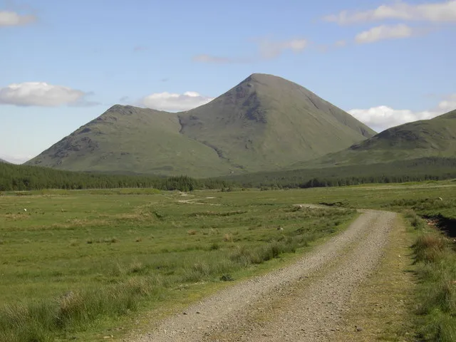 Beinn Talaidh Mountain, Argyll and Bute4.9 km W
-
Beinn Bheag Mountain, Argyll and Bute4.2 km W
-
Beinn Chreagach Mhor Mountain, Argyll and Bute5 km NW
More nature in United Kingdom
-
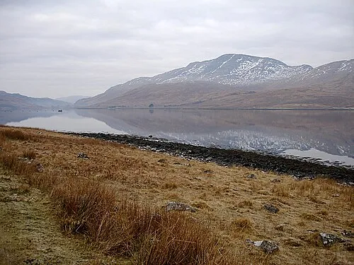 Creach Beinn Mountain, Argyll and Bute9.1 km S
-
Glen More Natural site, Argyll and Bute4.9 km S
-
Druim Mor Mountain, Argyll and Bute5.5 km E
-
Maol a' Ghearraidh Mountain, Argyll and Bute5.7 km SW
-
Cnoc an Teine Mountain, Argyll and Bute5.9 km N
-
Sgulan Mor Mountain, Argyll and Bute6.7 km SW
Sources & licences
Data last updated: · 2 independent sources