- Elevation
- 81 m
- above sea level
- Local time
- UTC+00:00
- Europe/London · UTC+00:00
- Airports
- TRE Tiree Airport73 km
- ILY Islay Airport94 km
About Druim Mor
Druim Mor is a mountain. Location: Argyll and Bute, Scotland. Elevation: 81 m. The best months to visit are July. The nearest airport is Tiree Airport (73 km). Nearby sights include Duart Bay and Dun da Ghaoithe.
Photos of Druim Mor
-
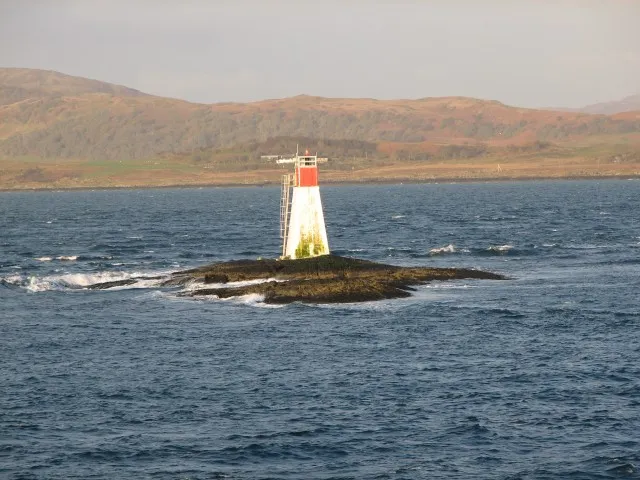
Lady’s Rock Callum Black · CC BY-SA 2.0 -
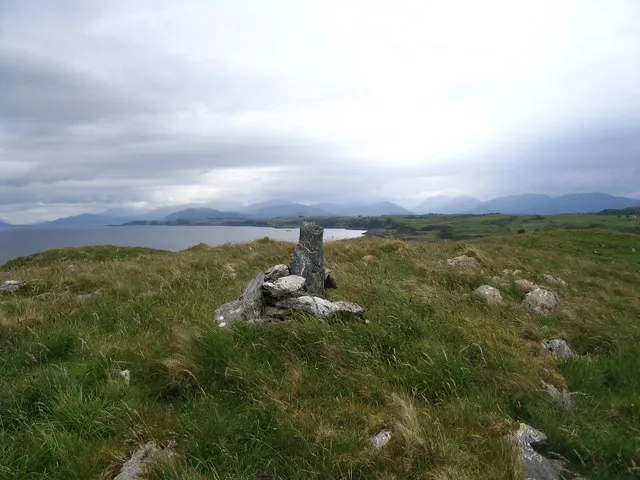
Bernera Island Ken Craig · CC BY-SA 2.0 -
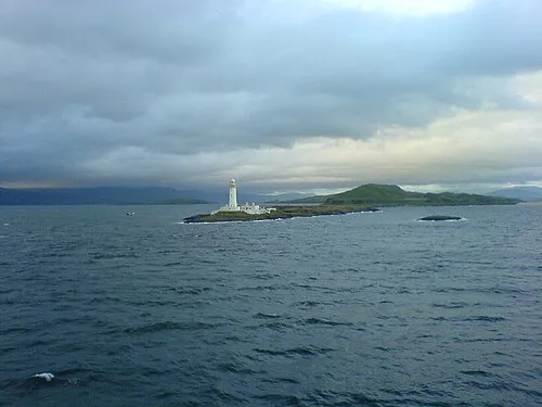
Eilean Musdile Scottholland at English Wikipedia · Public domain -
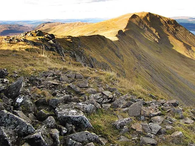
Dun da Ghaoithe wrobison at geograph.org.uk · CC BY-SA 2.0 -
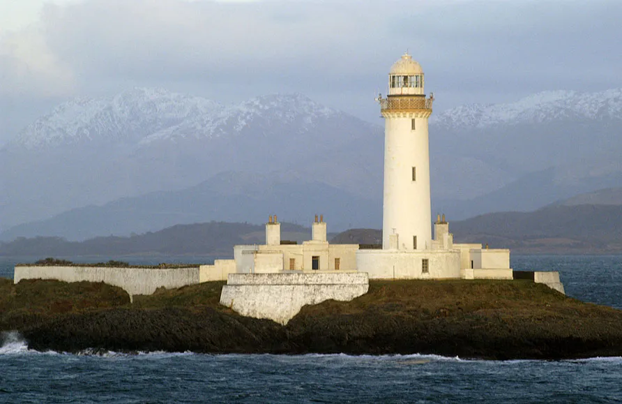
Lismore Lighthouse BriYYZ from Toronto, Canada · CC BY-SA 2.0


Climate of Druim Mor
Best months for sightseeingBest months for sightseeing: July.
This month · November
A wet month
Day 9° · Night 6° · Rain 244 mm
- Hottest month
- July (day 17°)
- Coldest month
- February (night 3°)
- Wettest month
- January (262 mm)
- Driest month
- May (98 mm)
Bars: average monthly low and high temperature. Below: precipitation. Monthly averages for 1970–2000 at about 18 km resolution, adjusted for elevation. Highlighted months are mild and relatively dry. Source: WorldClim 2.1 (CC BY 4.0).
Show values as a table
| Month | Jan | Feb | Mar | Apr | May | Jun | Jul | Aug | Sep | Oct | Nov | Dec |
|---|---|---|---|---|---|---|---|---|---|---|---|---|
| Average high (°C) | 7° | 7° | 9° | 11° | 14° | 16° | 17° | 17° | 15° | 12° | 9° | 7° |
| Average low (°C) | 3° | 3° | 4° | 5° | 8° | 10° | 12° | 12° | 10° | 8° | 6° | 4° |
| Precipitation (mm) | 262 | 161 | 203 | 119 | 98 | 103 | 128 | 155 | 213 | 232 | 244 | 240 |
Other places to visit in this season: July
How to get to Druim Mor
The nearest airport is Tiree Airport (TRE), 73 km to the west as the crow flies. For international flights: Glasgow Airport (GLA) (102 km). The nearest large city is Glasgow, 111 km to the southeast.
Airports
- Tiree Airport (TRE) Balemartine, Argyll and Bute 73 kmwest
- Islay Airport (ILY) Isle of Islay, Argyll and Bute 94 kmsouth
- Glasgow Airport (GLA) Glasgow 102 kmsoutheast
Nearby large cities
- Glasgow Population: 626.4K 111 kmsoutheast
- Edinburgh Population: 515K 165 kmeast
- Dundee Population: 148.2K 167 kmeast
- Belfast Population: 348K 208 kmsouth
- Aberdeen Population: 198.6K 232 kmeast
Straight-line distances; road distances are longer. Airport data: OurAirports.
Day trips from Druim Mor
Within 100 km: 56 historic and cultural sites, 3,570 natural sites, 1,364 lakes, rivers and coasts.
0–25 km452 places
- Eriska Island 19 kmNE
- Torsa Island Island 23 kmS
- Shuna Island Island 24 kmNE
- Seil Island 18 kmS
25–60 km1,899 places
- Colonsay Island 55 kmSW
- Eigg Island 57 kmNW
- Kiloran Beach Beach 50 kmSW
- Scarba Island 31 kmS
60–100 km2,639 places
- Hebrides Island 89 kmNW
- Isle of Skye Island 99 kmN
- Isle of Arran Island 100 kmS
- Great Cumbrae Island Island 91 kmSE
Straight-line distances.
Nearest towns and villages
-
Craignure Village, Argyll and Bute0.9 km NW
-
Isle of Mull Village, Argyll and Bute5.4 km W
-
Lochdon Village, Argyll and Bute3.1 km S
-
Strathcoil Village, Argyll and Bute6.7 km SW
-
Auchnacraig Village, Argyll and Bute6.9 km S
-
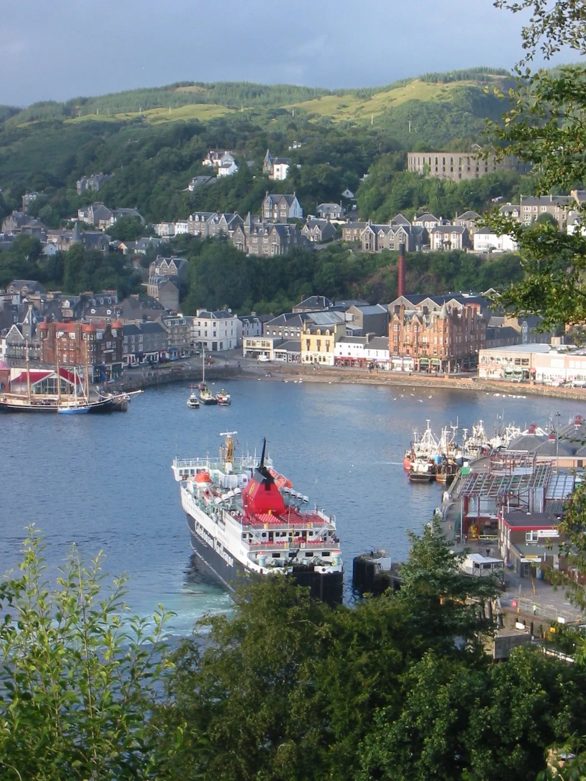 Oban Town, Argyll and Bute14 km E
Nearby attractions & nature
Everything nearby-
Duart Bay Natural site, Argyll and Bute1.9 km SE
-
Dun da Ghaoithe Mountain, Argyll and Bute5.5 km W
-
Eilean Musdile Island, Argyll and Bute5.3 km E
-
Lady’s Rock Island, Argyll and Bute4.7 km E
-
Torr a' Bhradain Mountain, Argyll and Bute4.4 km S
-
Loch Don Natural site, Argyll and Bute4.1 km S
-
Glas-Eileanan Island, Argyll and Bute4.2 km N
-
Mainnir nam Fiadh Mountain, Argyll and Bute5.2 km W
More nature in United Kingdom
-
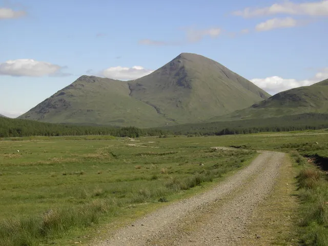 Beinn Talaidh Mountain, Argyll and Bute10 km W
-
Sgurr Dearg Mountain, Argyll and Bute6.5 km W
-
Beinn Thunacaraidh Mountain, Argyll and Bute6.8 km W
-
Beinn Bhearnach Mountain, Argyll and Bute6.8 km SW
-
Carn Ban Mountain, Argyll and Bute7.1 km S
-
Cruach Ardura Mountain, Argyll and Bute7.5 km SW
Sources & licences
Data last updated: