- Elevation
- 608 m
- above sea level
- Local time
- UTC+00:00
- Europe/London · UTC+00:00
- Airports
- PIK Glasgow Prestwick Airport35 km
- GLA Glasgow Airport67 km
About Millaneoch Hill
Millaneoch Hill is a mountain. Location: East Ayrshire, Scotland. Elevation: 608 m. The nearest airport is Glasgow Prestwick Airport (35 km). Nearby sights include Wedder Hill and Windy Standard.
Photos of Millaneoch Hill
-
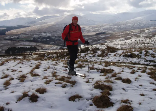
Cairnsmore of Carsphairn John Biggar · Public domain -
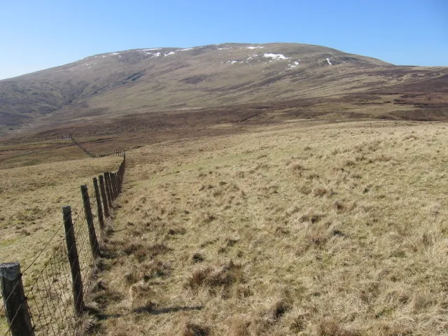
Blackcraig Hill Chris Wimbush · CC BY-SA 2.0


Climate of Millaneoch Hill
This month · November
A wet month
Day 5° · Night 0° · Rain 203 mm
- Hottest month
- July (day 15°)
- Coldest month
- January (night -2°)
- Wettest month
- January (209 mm)
- Driest month
- June (93 mm)
Bars: average monthly low and high temperature. Below: precipitation. Monthly averages for 1970–2000 at about 18 km resolution, adjusted for elevation. Highlighted months are mild and relatively dry. Source: WorldClim 2.1 (CC BY 4.0).
Show values as a table
| Month | Jan | Feb | Mar | Apr | May | Jun | Jul | Aug | Sep | Oct | Nov | Dec |
|---|---|---|---|---|---|---|---|---|---|---|---|---|
| Average high (°C) | 3° | 3° | 5° | 7° | 11° | 13° | 15° | 14° | 12° | 9° | 5° | 3° |
| Average low (°C) | -2° | -2° | -1° | 0° | 3° | 6° | 8° | 7° | 6° | 3° | 0° | -1° |
| Precipitation (mm) | 209 | 140 | 158 | 97 | 102 | 93 | 96 | 125 | 169 | 200 | 203 | 205 |
How to get to Millaneoch Hill
The nearest airport is Glasgow Prestwick Airport (PIK), 35 km to the northwest as the crow flies. The nearest large city is Glasgow, 64 km to the north.
Airports
- Glasgow Prestwick Airport (PIK) Prestwick, South Ayrshire 35 kmnorthwest
- Glasgow Airport (GLA) Glasgow 67 kmnorth
- Edinburgh Airport (EDI) Ingliston, Edinburgh 88 kmnortheast
Nearby large cities
- Glasgow Population: 626.4K 64 kmnorth
- Edinburgh Population: 515K 95 kmnortheast
- Belfast Population: 348K 137 kmsouthwest
- Dundee Population: 148.2K 151 kmnortheast
- Newcastle upon Tyne Population: 300.1K 166 kmeast
Straight-line distances; road distances are longer. Airport data: OurAirports.
Day trips from Millaneoch Hill
Within 100 km: 312 historic and cultural sites, 2,668 natural sites, 736 lakes, rivers and coasts.
0–25 km356 places
- Kids Isle Island 11 kmSW
- Blaeberry Isle Island 21 kmSW
- Deer Isle Island 22 kmSW
- McDowalls Isle Island 17 kmW
25–60 km1,254 places
- Powillimount Beach Beach 58 kmSE
- Ayr Beach Beach 36 kmNW
- Troon Beach Beach 42 kmNW
- Murrays Isles Island 53 kmS
60–100 km2,106 places
- Isle of Arran Island 77 kmNW
- Great Cumbrae Island Island 71 kmNW
- St. Bees Beach Seafront Beach 96 kmS
- Hunterston Sands Beach 67 kmNW
Straight-line distances.
Nearest towns and villages
-
 New Cumnock Village, East Ayrshire11 km N
-
Craigengillan Village, Dumfries and Galloway7.2 km S
-
 Kirkconnel Village, Dumfries and Galloway15 km NE
-
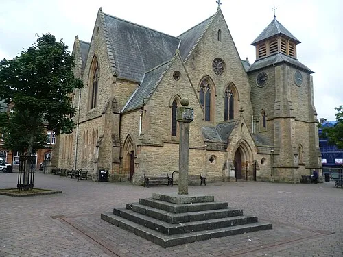 Cumnock Town, East Ayrshire19 km N
-
Bellsbank Village, East Ayrshire15 km W
-
Dalmellington Village, East Ayrshire16 km W
Nearby attractions & nature
Everything nearby-
Wedder Hill Mountain, East Ayrshire0.7 km NE
-
Windy Standard Mountain, Dumfries and Galloway0.9 km SW
-
Alwhat Mountain, Dumfries and Galloway1.9 km E
-
Jedburgh Knees Mountain, Dumfries and Galloway1.4 km NW
-
Trostan Hill Mountain, Dumfries and Galloway1.6 km W
-
Alhang Mountain, Dumfries and Galloway1.8 km SE
-
Black Hill Mountain, East Ayrshire2.2 km N
-
Keoch Rig Mountain, Dumfries and Galloway2.3 km SW
More nature in United Kingdom
-
Blacklorg Hill Mountain, East Ayrshire3.4 km NE
-
Blackcraig Hill Mountain, East Ayrshire4.8 km NE
-
Cannock Hill Mountain, East Ayrshire2.5 km NE
-
Craigbraneoch Hill Mountain, East Ayrshire3.4 km N
-
Struther's Brae Mountain, East Ayrshire3.7 km N
-
Yarngallows Knowe Mountain, East Ayrshire4.7 km N
Sources & licences
Data last updated: