East Ayrshire
Local name: Siorrachd Àir an Ear
Located in Scotland, United Kingdom Coordinates: 55°30′00″ N 4°15′00″ W
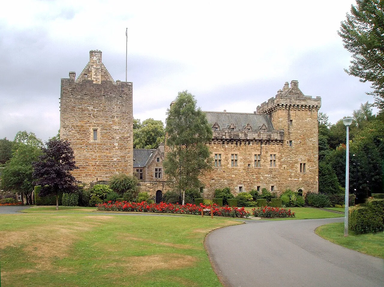
- Population
- 121,480
- 121.5K
- Elevation
- 195 m
- above sea level
- Local time
- UTC+00:00
- Europe/London · UTC+00:00
- Places inside
- 186
- listed under East Ayrshire
- Airports
- PIK Glasgow Prestwick Airport21 km
- GLA Glasgow Airport43 km
About East Ayrshire
East Ayrshire is a district. Location: Scotland, United Kingdom. Population: 121,480.
East Ayrshire (Scots: Aest Ayrshire; Scottish Gaelic: Siorrachd Àir an Ear) is one of 32 unitary council areas of Scotland. It shares borders with Dumfries and Galloway, East Renfrewshire, North Ayrshire, South Ayrshire and South Lanarkshire. The headquarters of the council are located on London Road, Kilmarnock. With South Ayrshire and the mainland areas of North Ayrshire, it formed the former county of Ayrshire.
Source: Wikipedia · CC BY-SA 4.0
Photos of East Ayrshire
-
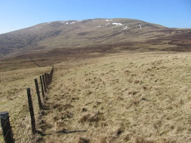
Blackcraig Hill Chris Wimbush · CC BY-SA 2.0 -
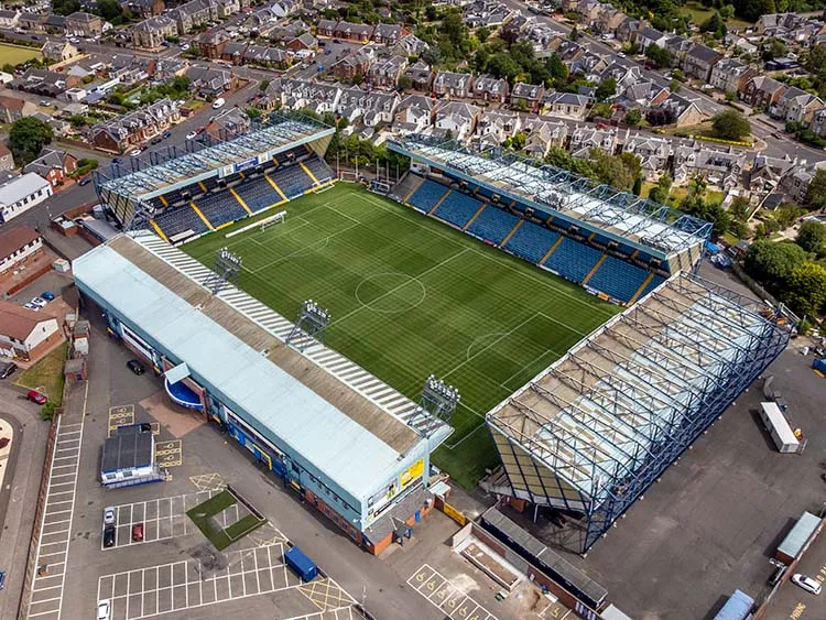
Rugby Park Martin Le Roy · CC BY-SA 4.0


Places bordering East Ayrshire
- South Lanarkshire
Population of East Ayrshire over time
| 2008 | 121,600 | |
|---|---|---|
| 2009 | 122,110 | |
| 2010 | 122,410 | |
| 2011 | 122,690 | |
| 2012 | 122,730 | |
| 2013 | 122,430 | |
| 2014 | 122,130 | |
| 2015 | 122,060 | |
| 2016 | 122,200 | |
| 2017 | 121,940 | |
| 2018 | 121,840 | |
| 2019 | 122,010 |
Censuses and official estimates; source: Wikidata.
Climate of East Ayrshire
Best months for sightseeingBest months for sightseeing: June–August.
This month · November
A wet month
Day 8° · Night 3° · Rain 175 mm
- Hottest month
- July (day 17°)
- Coldest month
- February (night 0°)
- Wettest month
- January (175 mm)
- Driest month
- April (81 mm)
Bars: average monthly low and high temperature. Below: precipitation. Monthly averages for 1970–2000 at about 18 km resolution, adjusted for elevation. Highlighted months are mild and relatively dry. Source: WorldClim 2.1 (CC BY 4.0).
Show values as a table
| Month | Jan | Feb | Mar | Apr | May | Jun | Jul | Aug | Sep | Oct | Nov | Dec |
|---|---|---|---|---|---|---|---|---|---|---|---|---|
| Average high (°C) | 5° | 5° | 7° | 10° | 13° | 16° | 17° | 17° | 14° | 11° | 8° | 6° |
| Average low (°C) | 1° | 0° | 2° | 3° | 5° | 8° | 10° | 10° | 8° | 6° | 3° | 1° |
| Precipitation (mm) | 175 | 119 | 133 | 81 | 86 | 81 | 86 | 111 | 150 | 175 | 175 | 173 |
How to get to East Ayrshire
The nearest airport is Glasgow Prestwick Airport (PIK), 21 km to the west as the crow flies. The nearest large city is Glasgow, 41 km to the north.
Airports
- Glasgow Prestwick Airport (PIK) Prestwick, South Ayrshire 21 kmwest
- Glasgow Airport (GLA) Glasgow 43 kmnorth
- Edinburgh Airport (EDI) Ingliston, Edinburgh 75 kmnortheast
Nearby large cities
- Glasgow Population: 626.4K 41 kmnorth
- Edinburgh Population: 515K 83 kmnortheast
- Dundee Population: 148.2K 134 kmnortheast
- Belfast Population: 348K 147 kmsouthwest
- Newcastle upon Tyne Population: 300.1K 178 kmeast
Straight-line distances; road distances are longer. Airport data: OurAirports.
Day trips from East Ayrshire
Within 100 km: 210 historic and cultural sites, 3,130 natural sites, 864 lakes, rivers and coasts.
0–25 km205 places
- New Island Island 18 kmE
- Nether Tarrioch Holm Island 6 kmE
- Loch Spallander Lake 25 kmSW
- Shankston Loch Lake 23 kmSW
25–60 km1,288 places
- Great Cumbrae Island Island 52 kmNW
- Ayr Beach Beach 25 kmW
- Troon Beach Beach 26 kmW
- Hunterston Sands Beach 48 kmNW
60–100 km2,711 places
- Isle of Arran Island 64 kmW
- Powillimount Beach Beach 80 kmSE
- Burntisland Beach Beach 90 kmNE
- Cramond beach Beach 80 kmNE
Straight-line distances.
Places in East Ayrshire
186 places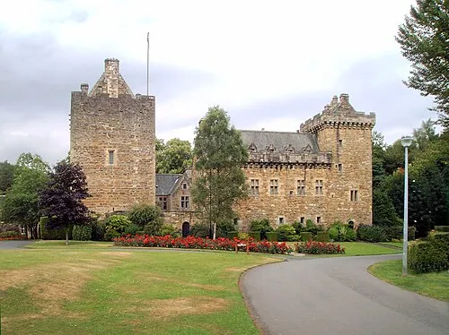
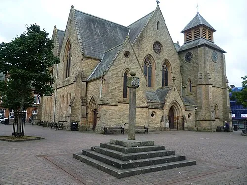
Kilmarnock
Population: 47K
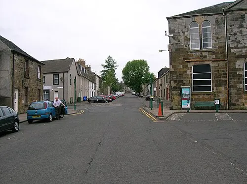
Cumnock
Population: 8.9K
Stewarton
Population: 7.1K
Galston
Population: 4.7K
Mauchline
Population: 4.1K

Darvel
Population: 3.9K
- 7 Auchinleck 3.8K
- 8 Drongan 3.2K
- 9 Newmilns 3K
- 10 Crosshouse 2.8K
- 11 New Cumnock 2.8K
- 12 Kilmaurs 2.8K
- 13 Catrine 2.2K
- 14 Patna 2.2K
- 15 Muirkirk 1.5K
- 16 Dalrymple 1.5K
- 17 Dalmellington 1.4K
- 18 Bellsbank 1.4K
- 19 Logan 1.2K
- 20 Dunlop 1.2K
- 21 Ochiltree 1.1K
- 22 Fenwick 1.1K
- 23 Kyle 1
Bar: population relative to the most populous place in this list.
Cities & villages12
- Afton Bridgend · Neighbourhood
- Altonhill · Neighbourhood
- Bankglen · Village
- Barshare · Neighbourhood
- Beansburn · Neighbourhood
- Bellfield · Neighbourhood
- Birnieknowe · Village
- Bowhouse · Village
- Burnside · Village
- Burnton · Village
- Caprington · Neighbourhood
- Coalhall · Neighbourhood
Mountains & nature24
- Auchenroy Hill · Mountain
- Auchincally Hill · Mountain
- Auchtitench Hill · Mountain
- Avisyard Hill · Mountain
- Benbeoch · Mountain
- Benquhat Hill · Mountain
- Berrie Craigs · Mountain
- Bibblon Hill · Mountain
- Big Hill of Glenmount · Mountain
- Blackcraig Hill · Mountain
- Black Hill · Mountain
- Black Hill East Top · Mountain
- Blacklorg Hill · Mountain
- Blackside · Mountain
- Bryan's Heights · Mountain
- Cairnsaigh Hill · Mountain
- Cairn Table · Mountain
- Campbells Hill · Mountain
- Cannock Hill · Mountain
- Carsgailoch Hill · Mountain
- Carwaur · Mountain
- Chapel Hill · Mountain
- Clocklowie Hill · Mountain
- Corsencon Hill · Mountain
Lakes, rivers & coasts1
- Blaeberry Isle · Island
Nearby attractions & nature
Everything nearby-
Cleuch Burn River, Scotland3.7 km NW
-
Gass Water River, Scotland4.2 km E
-
Glenmuir Water River, Scotland4.3 km SE
-
Whitehaugh Water River, Scotland4.6 km NE
-
Greenock Water River, Scotland5.6 km E
-
Polkebock Burn River, Scotland7.3 km NE
Other regions in Scotland
-
 South Lanarkshire District, Scotland28 km E
-
 East Renfrewshire District, Scotland28 km N
-
South Ayrshire District, Scotland38 km SW
-
 North Ayrshire District, Scotland38 km NW
-
 Renfrewshire District, Scotland40 km NW
-
North Lanarkshire District, Scotland46 km NE
Sources & licences
Data last updated: · 2 independent sources