Renfrewshire
Local name: Siorrachd Rinn Friù
Located in Scotland, United Kingdom Coordinates: 55°50′00″ N 4°30′00″ W
- Population
- 189,170
- 189.2K
- Elevation
- 34 m
- above sea level
- Local time
- UTC+00:00
- Europe/London · UTC+00:00
- Places inside
- 96
- listed under Renfrewshire
About Renfrewshire
Renfrewshire is a district. Location: Scotland, United Kingdom. Population: 189,170.
Renfrewshire ( REN-froo-sheer, -shər; Scots: Renfrewshire; Scottish Gaelic: Siorrachd Rinn Friù) is one of the 32 council areas of Scotland. Renfrewshire is located in the west central Lowlands. It borders East Renfrewshire, Glasgow, Inverclyde, North Ayrshire and West Dunbartonshire, and lies on the southern bank of the River Clyde. The current council area of Renfrewshire was established in 1996. The town of Paisley is the area's main settlement and centre of local government.
Read more on Wikipedia Text: Wikipedia contributors · CC BY-SA 4.0 · shortened
At a glance
- Area
- 262 km²
Source: Wikidata
In comparison
- 38 sights and natural places within 10 km Barr Hill, Locher Water
- Listed here: Neighbourhood: 49, Mountain: 16, Village: 15, Landmark: 7
Places in Renfrewshire
96 places-
Paisley City77.3K
-
Renfrew Town24.3K
-
Johnstone Town15.9K
-
Erskine Town15.5K
-
Linwood Town8.6K
-
Houston Town6.4K
-
Elderslie Town5.7K
-
Bridge of Weir Village4.9K
-
Bishopton Village4.6K
-
Kilbarchan Village3.6K
-
Lochwinnoch Village2.9K
-
Inchinnan Village1.9K
-
Howwood Village1.6K
-
Hawkhead Village968
-
Langbank Village910
-
Brookfield Village570
-
Bargarran Neighbourhood
-
Barlogon Hill Mountain
-
Barnbrock Hill Mountain
-
Barr Hill Mountain
-
Barscube Hill Mountain
-
Blackhall Village
-
Blythswood Light Landmark
-
Bourne Court Neighbourhood
-
Braehead Neighbourhood
-
Brediland Neighbourhood
-
Broadfield Hill Mountain
-
Byres Hill Mountain
-
Capet Law Mountain
-
Carriagehill Neighbourhood
-
Cartside Neighbourhood
-
Charleston Neighbourhood
-
Corseford Neighbourhood
-
Craigend Hill Mountain
-
Craigends Village
-
Craig Muir Mountain
-
Crosslee Village
-
Cross Stobbs Neighbourhood
-
Dumbuck Lighthouse Landmark
-
Dykebar Neighbourhood
-
East Craigend Neighbourhood
-
East Freeland Neighbourhood
-
East Fulton Neighbourhood
-
East Girt Hill Mountain
-
Erskine Harbour Neighbourhood
-
Ferguslie Park Neighbourhood
-
Gallowhill Neighbourhood
-
Garnieland Neighbourhood
-
Garrison Lighthouse (historical) Landmark
-
Georgetown Village
-
Glenburn Neighbourhood
-
Gockston Neighbourhood
-
Hill of Stake Mountain
-
Hunterhill Neighbourhood
-
Kenmure Hill Mountain
-
Knockmountain Mountain
-
Laigh Park Neighbourhood
-
Law Hill Mountain
-
Linburn Neighbourhood
-
Loanhead Neighbourhood
Nearby attractions & nature
Everything nearby-
Locher Water River, Scotland3.7 km N
-
River Gryfe River, Scotland4.3 km NE
-
Thornliemuir Mountain, East Renfrewshire4.9 km SE
-
Corkindale Law Mountain, East Renfrewshire6.1 km S
-
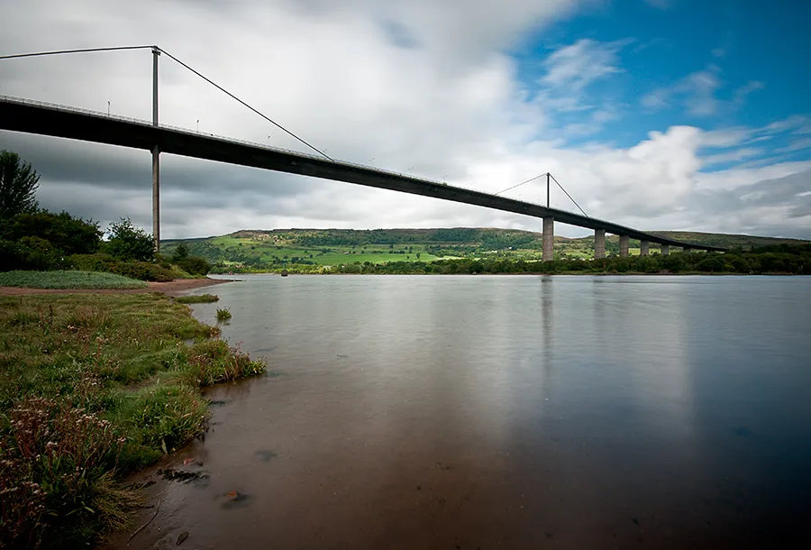 Erskine Bridge Landmark, West Dunbartonshire10 km N
-
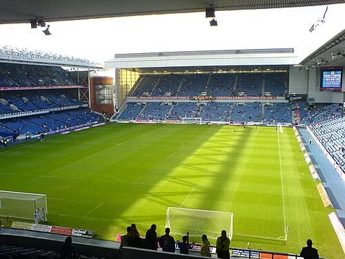 Glasgow Rangers Landmark, Glasgow City12 km E
Sources & licences
Data last updated: · 2 independent sources