North Ayrshire
Local name: Siorrachd Àir a Tuath
Located in Scotland, United Kingdom Coordinates: 55°41′49″ N 4°44′01″ W
- Population
- 89,120
- 89.1K
- Elevation
- 80 m
- above sea level
- Local time
- UTC+00:00
- Europe/London · UTC+00:00
- Places inside
- 218
- listed under North Ayrshire
- Airports
- PIK Glasgow Prestwick Airport24 km
- GLA Glasgow Airport27 km
About North Ayrshire
North Ayrshire is a district. Location: Scotland, United Kingdom. Population: 89,120.
North Ayrshire (Scottish Gaelic: Siorrachd Àir a Tuath, pronounced [ˈʃirˠəxk aːɾʲ ə ˈt̪ʰuə]) is one of 32 council areas in Scotland. The council area borders Inverclyde to the north, Renfrewshire and East Renfrewshire to the northeast, and East Ayrshire and South Ayrshire to the east and south respectively. The local authority is North Ayrshire Council, formed in 1996 with the same boundaries as the district of Cunninghame, which existed from 1975 to 1996.
Source: Wikipedia · CC BY-SA 4.0
Population of North Ayrshire over time
| 2008 | 137,910 | |
|---|---|---|
| 2009 | 137,830 | |
| 2010 | 137,800 | |
| 2011 | 138,090 | |
| 2012 | 137,570 | |
| 2013 | 136,940 | |
| 2014 | 136,480 | |
| 2015 | 136,130 | |
| 2016 | 135,890 | |
| 2017 | 135,790 | |
| 2018 | 135,280 | |
| 2019 | 134,740 |
Censuses and official estimates; source: Wikidata.
Climate of North Ayrshire
Best months for sightseeingBest months for sightseeing: June–August.
This month · November
A wet month
Day 9° · Night 4° · Rain 171 mm
- Hottest month
- July (day 18°)
- Coldest month
- February (night 2°)
- Wettest month
- January (182 mm)
- Driest month
- May (82 mm)
Bars: average monthly low and high temperature. Below: precipitation. Monthly averages for 1970–2000 at about 18 km resolution, adjusted for elevation. Highlighted months are mild and relatively dry. Source: WorldClim 2.1 (CC BY 4.0).
Show values as a table
| Month | Jan | Feb | Mar | Apr | May | Jun | Jul | Aug | Sep | Oct | Nov | Dec |
|---|---|---|---|---|---|---|---|---|---|---|---|---|
| Average high (°C) | 7° | 7° | 9° | 11° | 15° | 17° | 18° | 18° | 15° | 12° | 9° | 7° |
| Average low (°C) | 2° | 2° | 3° | 4° | 7° | 9° | 11° | 11° | 9° | 7° | 4° | 3° |
| Precipitation (mm) | 182 | 122 | 141 | 84 | 82 | 84 | 97 | 115 | 152 | 172 | 171 | 173 |
How to get to North Ayrshire
The nearest airport is Glasgow Prestwick Airport (PIK), 24 km to the southeast as the crow flies. The nearest large city is Glasgow, 35 km to the northeast.
Airports
- Glasgow Prestwick Airport (PIK) Prestwick, South Ayrshire 24 kmsoutheast
- Glasgow Airport (GLA) Glasgow 27 kmnortheast
- Campbeltown Airport (CAL) Campbeltown 67 kmsouthwest
Nearby large cities
- Glasgow Population: 626.4K 35 kmnortheast
- Edinburgh Population: 515K 100 kmeast
- Dundee Population: 148.2K 139 kmnortheast
- Belfast Population: 348K 144 kmsouthwest
- Newcastle upon Tyne Population: 300.1K 214 kmeast
Straight-line distances; road distances are longer. Airport data: OurAirports.
Day trips from North Ayrshire
Within 100 km: 137 historic and cultural sites, 3,295 natural sites, 1,195 lakes, rivers and coasts.
0–25 km160 places
- Great Cumbrae Island Island 14 kmNW
- Troon Beach Beach 18 kmS
- Hunterston Sands Beach 11 kmW
- Little Cumbrae Island Island 14 kmW
25–60 km1,161 places
- Isle of Arran Island 34 kmW
- Ayr Beach Beach 27 kmS
- Pladda Island 39 kmSW
- Inchmarnock Island 28 kmW
60–100 km3,306 places
- Cramond beach Beach 95 kmE
- Scarba Island 82 kmNW
- Cala Island 65 kmNW
- Torsa Island Island 83 kmNW
Straight-line distances.
Places in North Ayrshire
218 places
Irvine
Population: 34.1K
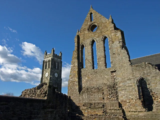
Kilwinning
Population: 16.1K
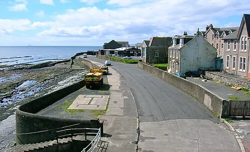
Saltcoats
Population: 12.2K
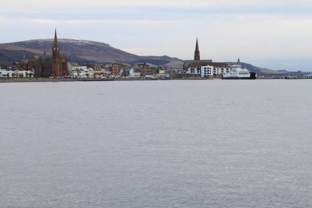
Largs
Population: 11K
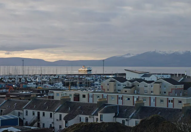
Ardrossan
Population: 10.5K
Stevenston
Population: 9.3K
- 7 Kilbirnie 7.5K
- 8 Beith 6.2K
- 9 Dalry 5.6K
- 10 Isle of Arran 5.1K
- 11 West Kilbride 4.8K
- 12 Dreghorn 3.6K
- 13 Skelmorlie 2K
- 14 Fairlie 1.4K
- 15 Isle of Cumbrae 1.4K
- 16 Great Cumbrae Island 1.4K
- 17 Millport 1.3K
- 18 Springside 1.3K
- 19 Lamlash 1K
- 20 Brodick 830
- 21 Whiting Bay 640
Bar: population relative to the most populous place in this list.
Cities & villages15
- Ardeer Square · Village
- Auchagallon · Village
- Auchencairn · Neighbourhood
- Auchencar · Village
- Auchenharvie · Neighbourhood
- Auchenhew · Village
- Auchentiber · Village
- Ballymichael · Village
- Barrmill · Village
- Benslie · Village
- Birchburn · Village
- Blackwaterfoot · Village
- Bourtreehill · Neighbourhood
- Burnhouse · Village
- Butt · Neighbourhood
Mountains & nature23
- A' Chir · Mountain
- A' Chruach · Mountain
- An Tunna · Mountain
- Ard Bheinn · Mountain
- Auld Hill · Mountain
- Beinn a' Chliabhain · Mountain
- Beinn Bharrain - Mullach Buidhe · Mountain
- Beinn Bhiorach · Mountain
- Beinn Bhreac · Mountain
- Beinn Lochain · Mountain
- Beinn Nuis · Mountain
- Beinn Tarsuinn · Mountain
- Beinn Tarsuinn SW Top · Mountain
- Berry Hill · Mountain
- Black Law · Mountain
- Blackshaw Hill · Mountain
- Blaeloch Hill · Mountain
- Box Law · Mountain
- Brown Hill · Mountain
- Brownmuir · Mountain
- Caisteal Abhail · Mountain
- Caisteal Abhail Far East Top · Mountain
- Caldron Hill · Mountain
Lakes, rivers & coasts1
- Barbay Hill · Island
Nearby attractions & nature
Everything nearby-
Rye Water River, Scotland1.1 km E
-
Caaf Water River, Scotland1.1 km E
-
Dusk Water River, Scotland4 km SE
-
Powgree Burn River, Scotland5.8 km NE
-
Maichwater River, Scotland7.3 km NE
-
Lugton Water River, Scotland7.8 km SE
Sources & licences
Data last updated: · 2 independent sources