- Population
- 12,250
- 12.2K
- Elevation
- 10 m
- above sea level
- Local time
- UTC+00:00
- Europe/London · UTC+00:00
- Airports
- PIK Glasgow Prestwick Airport20 km
- GLA Glasgow Airport34 km
About Saltcoats
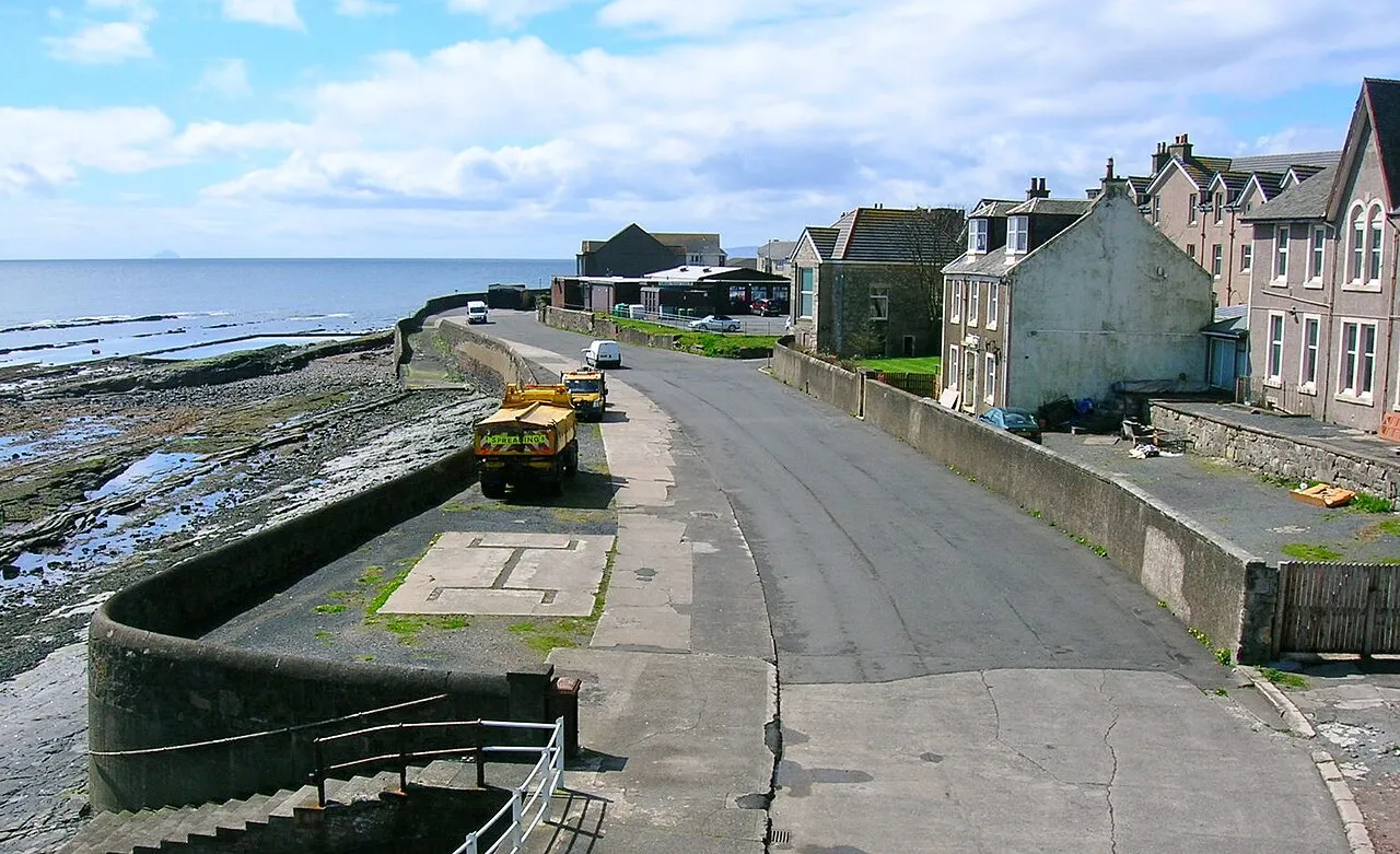
Saltcoats is a town. Location: North Ayrshire, Scotland. Population: 12,250. Elevation: 10 m.
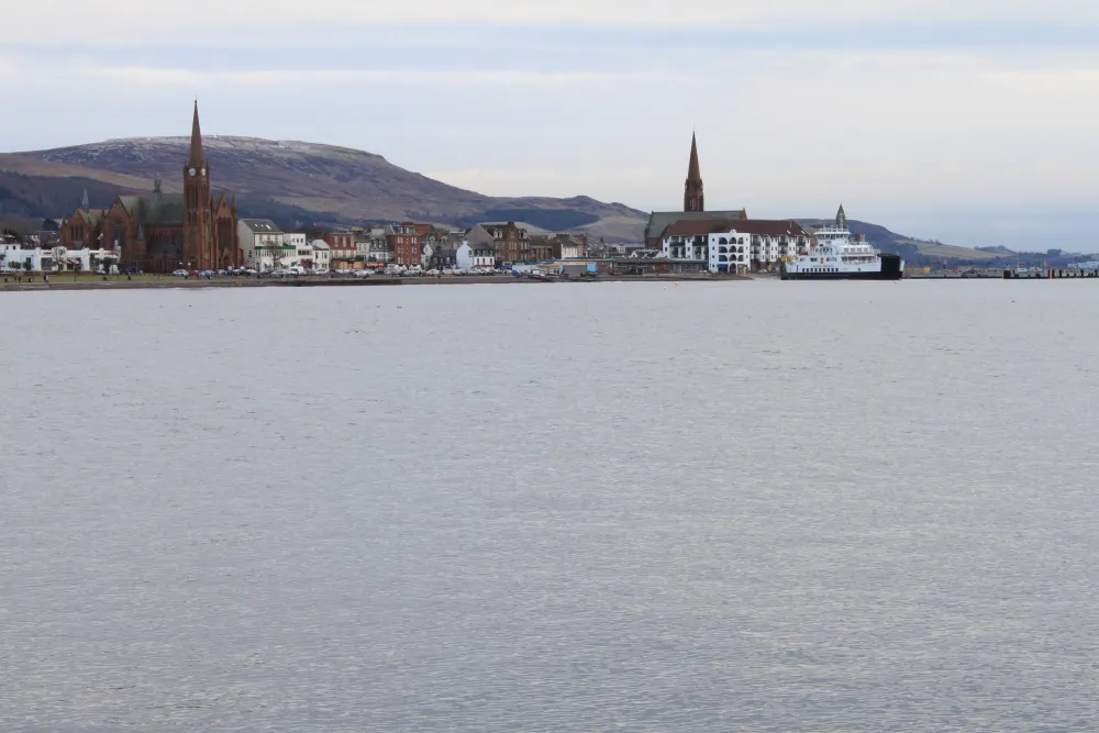
Saltcoats (Scottish Gaelic: Baile an t-Salainn; Scots: Saulcuts) is a town on the west coast of North Ayrshire, Scotland. The name is derived from the town's earliest industry when salt was harvested from the sea water of the Firth of Clyde, carried out in small cottages along the shore. It is part of the 'Three Towns' conurbation along with Ardrossan and Stevenston and is the third largest town in North Ayrshire.
Source: Wikipedia · CC BY-SA 4.0
Photos of Saltcoats
-

Leslie Barrie · CC BY-SA 2.0 -

Leslie Barrie · CC BY-SA 2.0 -

Rosser1954 · CC BY-SA 4.0 -

Rosser1954 · CC BY-SA 4.0


Travel notes for Saltcoats
From Wikivoyage
Ardrossan is a port in Ayrshire on the Clyde coast of Scotland. It's part of the "Three Towns" conurbation of Greater Ardrossan, which also includes Saltcoats and Stevenston. The town has few sights and amenities, and the main reason to visit is to catch the ferry to the Isle of Arran.
Understand+
While nearby towns such as Largs and Troon developed as beach resorts in the Victorian era, the Three Towns have always been industrial. Trades included salt extraction, shipping, quarrying and mining, and in the early 20th century Stevenston produced military and commercial explosives. Little of these now remain and various regeneration projects have faltered, so the towns have fallen back on being slightly grubby beach resorts, and commuterland for Irvine. The population in 2020 was 10,500 for Ardrossan, 12,250 for Saltcoats, and 9050 for Stevenston.
Get in+
By car:
From Glasgow, follow M8 west. Just past Glasgow Airport, exit at Jcn 29 onto A737, following signs for Irvine. With a light vehicle (and with a caravan or RV is okay), at Dalry take the signposted shortcut onto B780. (With fields and hills all around, it'll feel like you're many miles from the coast. But then you glimpse a line of wind turbines, as if an enormous aircraft was taxiing on the far side of the ridge; finally the sea and harbour come into view.) Otherwise stay on A737 to join A78 further south.
From England, take M6 then A75 to Dumfries, then A76 to Kilmarnock, then A71 west to join A78.
All approaches eventually follow A78, which bypasses Ardrossan, so ferry traffic loops round to the north of town then approaches the harbour along Eglinton road. (Don't follow what looks like a shortcut along A738 unless Stevenston or Saltcoats is your destination, you don't want to be part of the congestion on this road.) The final turn onto Glasgow St towards the harbour comes up with little warning, so when you reach the sign to the ferry, turn promptly.
There's long stay parking next to the ferry terminal, plus an Asda supermarket - stock up on fuel and supplies before crossing to Arran.
By bus:
Stagecoach Bus X36 runs from Glasgow Buchanan station every couple of hours daily, taking 90 min, with a bus at midnight, 3AM then 7AM. (But don't get on the X36 operated by First Scotland East, or you'll end up in Cumbernauld!) You can also reach Ardrossan just as quickly by taking the X34 (for Beith and Irvine), and changing at Kilwinning for Bus 11, which is the frequent Kilmarnock-Ardrossan service. A third option is to take the X77 (for Ayr) and change at Prestwick for Bus 585.
The latter bus, Stagecoach Bus 585 or "Clyde Coaster", runs between Ayr and Prestwick Airport in the south, through Saltcoats and Ardrossan, and on to Largs (for Great Cumbrae), Weymss Bay (for Isle of Bute) and Greenock. It runs every 30 min M-Sa and every two hours on Sunday.
By train:
Source: Wikivoyage · CC BY-SA 4.0 · abridged
Climate of Saltcoats
Best months for sightseeingBest months for sightseeing: May–August.
This month · November
A wet month
Day 10° · Night 4° · Rain 122 mm
- Hottest month
- July (day 19°)
- Coldest month
- February (night 2°)
- Wettest month
- October (124 mm)
- Driest month
- May (58 mm)
Bars: average monthly low and high temperature. Below: precipitation. Monthly averages for 1970–2000 at about 18 km resolution, adjusted for elevation. Highlighted months are mild and relatively dry. Source: WorldClim 2.1 (CC BY 4.0).
Show values as a table
| Month | Jan | Feb | Mar | Apr | May | Jun | Jul | Aug | Sep | Oct | Nov | Dec |
|---|---|---|---|---|---|---|---|---|---|---|---|---|
| Average high (°C) | 7° | 7° | 9° | 11° | 15° | 17° | 19° | 18° | 16° | 13° | 10° | 8° |
| Average low (°C) | 2° | 2° | 3° | 4° | 7° | 9° | 11° | 11° | 9° | 7° | 4° | 3° |
| Precipitation (mm) | 120 | 85 | 94 | 59 | 58 | 64 | 75 | 88 | 109 | 124 | 122 | 119 |
How to get to Saltcoats
The nearest airport is Glasgow Prestwick Airport (PIK), 20 km to the southeast as the crow flies. The nearest large city is Glasgow, 42 km to the northeast.
Airports
- Glasgow Prestwick Airport (PIK) Prestwick, South Ayrshire 20 kmsoutheast
- Glasgow Airport (GLA) Glasgow 34 kmnortheast
- Campbeltown Airport (CAL) Campbeltown 61 kmwest
Nearby large cities
- Glasgow Population: 626.4K 42 kmnortheast
- Edinburgh Population: 515K 106 kmeast
- Belfast Population: 348K 137 kmsouthwest
- Dundee Population: 148.2K 146 kmnortheast
- Newcastle upon Tyne Population: 300.1K 215 kmeast
Straight-line distances; road distances are longer. Airport data: OurAirports.
Day trips from Saltcoats
Within 100 km: 130 historic and cultural sites, 3,177 natural sites, 1,164 lakes, rivers and coasts.
0–25 km129 places
- Great Cumbrae Island Island 17 kmNW
- Ayr Beach Beach 21 kmSE
- Troon Beach Beach 13 kmSE
- Hunterston Sands Beach 12 kmNW
25–60 km1,147 places
- Isle of Arran Island 30 kmW
- Pladda Island 31 kmSW
- Inchmarnock Island 28 kmNW
- Inchlonaig Island 53 kmN
60–100 km3,195 places
- Scarba Island 84 kmNW
- Cala Island 66 kmNW
- West Maiden Island 99 kmSW
- Torsa Island Island 86 kmNW
Straight-line distances.
Nearby attractions & nature
Everything nearby-
South Bay Natural site, North Ayrshire1.5 km W
-
Craigspark Hill Mountain, North Ayrshire4 km N
-
Horse Isle Island, North Ayrshire3.7 km W
-
Coal Hill Mountain, North Ayrshire5.4 km N
-
Knock Jargon Mountain, North Ayrshire5.8 km N
-
Knockewart Hills Mountain, North Ayrshire6.5 km N
-
Tarbert Hill Mountain, North Ayrshire6.7 km NW
-
Blackshaw Hill Mountain, North Ayrshire7.1 km N
Other cities and towns in North Ayrshire
-
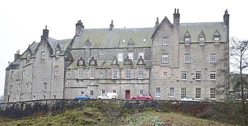 Dalry Town, North Ayrshire9.1 km NE
-
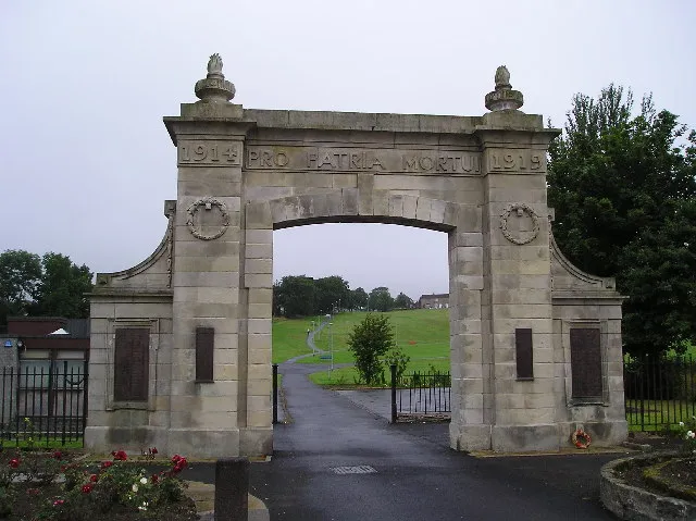 Kilbirnie Town, North Ayrshire14 km NE
-
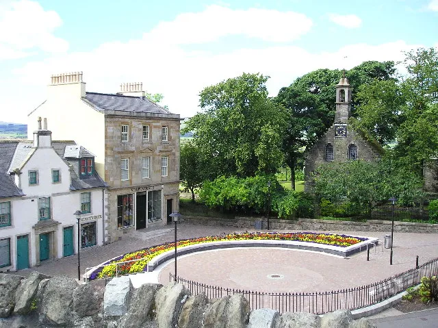 Beith Town, North Ayrshire16 km NE
-
 Largs Town, North Ayrshire18 km N
-
Isle of Arran Town, North Ayrshire28 km W
Sources & licences
Data last updated: · 2 independent sources