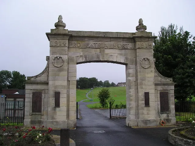
- Population
- 7,520
- 7.5K
- Elevation
- 56 m
- above sea level
- Local time
- UTC+00:00
- Europe/London · UTC+00:00
- Airports
- GLA Glasgow Airport21 km
- PIK Glasgow Prestwick Airport29 km
About Kilbirnie
Kilbirnie is a town. Location: North Ayrshire, Scotland. Population: 7,520. Elevation: 56 m.
Kilbirnie (Scottish Gaelic: Cill Bhraonaigh) is a town situated in the Garnock Valley of North Ayrshire, on the west coast of Scotland. It is around 20 miles (30 km) southwest of Glasgow and approximately 10 miles (16 kilometres) from Paisley and 13 miles (21 kilometres) from Irvine respectively. Historically, the town's main industries were flax production and weaving before iron and steelmaking took over in the 19th and early 20th centuries.
Source: Wikipedia · CC BY-SA 4.0
Photos of Kilbirnie
-

Dave souza · CC BY-SA 3.0 -

Dave souza · CC BY-SA 3.0 -

Wellington City Council · Public domain


Travel notes for Kilbirnie
From Wikivoyage
Kilbirnie is the largest of a cluster of small towns in Ayrshire, at the head of the Garnock Valley 20 miles (30 km) southwest of Glasgow.
Understand+
Kikbirnie was the cell or abode of the 6th century St Brendan, Cill Bhraonaigh. It grew up around the flax and weaving industries, using the freshwater loch to rot the tough flax fibres so they could be milled into linen. Iron and steelmaking developed in the 19th and early 20th centuries then subsided, leaving Kilbirnie a commuter town for Glasgow and Irvine. In 2020 the population was 7170. It also gave its name to the suburb of Kilbirnie in Wellington, New Zealand.
Beith probably means birch trees - the area was wooded and the town made furniture as well as flax. Iron- and steel-making collapsed in the 20th century especially with the loss of the main local customer, the Linwood car factory which closed in 1981. However there's a large industrial estate west by the loch. Beith in 2020 had a population of 5940.
These towns are on the natural valley route from Glasgow towards the Ayrshire coast, and have almost merged into a single conurbation. But not quite, as the decision was taken in the 1960s to concentrate urban growth at Irvine further south.
Lochwinnoch (population 2810 in 2020) further down the valley is across the county boundary in Renfrewshire, now part of Clydeside, but might be easier to explore from Kilbirnie.
Get in+
Trains from Glasgow Central run every 15-20 min and take 30 min via Paisley Gilmour Street (for Glasgow Airport), Johnstone and Lochwinnoch to Glengarnock. The last train leaves around midnight; a walk-up single in 2022 is £7.30. They continue southwest to Dalry and Kilwinning, where they diverge either to Irvine, Troon, Prestwick Airport and town and Ayr, or to Stevenston, Saltcoats and Ardrossan (for ferries to the Isle of Arran), with some continuing to West Kilbride and Largs.
1 Glengarnock railway station is one mile south of Kilbirrnie town centre and two miles southwest of Beith. It has a staffed ticket office and machines, and a waiting room but no toilets. There is step-free access to both platforms.
Stagecoach Bus X36 runs hourly from Glasgow Buchanan station to Beith, Kilbirnie (45 min) and Dalry. A morning and evening commuter run extends to Kilwinning and Ardrossan.
Stagecoach Bus 25 runs hourly from Irvine via Kilwinning and Dalry to Kilbirnie (one hour), Glengarnock railway station and Beith.
There isn't a bus station here, the buses make several stops in town.
By road from Glasgow leave M8 just past the airport and follow A737 southwest via Johnstone and Beith, then branch off on B777.
Source: Wikivoyage · CC BY-SA 4.0 · abridged
Climate of Kilbirnie
Best months for sightseeingBest months for sightseeing: June–August.
This month · November
A wet month
Day 9° · Night 4° · Rain 171 mm
- Hottest month
- July (day 18°)
- Coldest month
- February (night 2°)
- Wettest month
- January (182 mm)
- Driest month
- May (82 mm)
Bars: average monthly low and high temperature. Below: precipitation. Monthly averages for 1970–2000 at about 18 km resolution, adjusted for elevation. Highlighted months are mild and relatively dry. Source: WorldClim 2.1 (CC BY 4.0).
Show values as a table
| Month | Jan | Feb | Mar | Apr | May | Jun | Jul | Aug | Sep | Oct | Nov | Dec |
|---|---|---|---|---|---|---|---|---|---|---|---|---|
| Average high (°C) | 7° | 7° | 9° | 11° | 15° | 17° | 18° | 18° | 16° | 13° | 9° | 8° |
| Average low (°C) | 2° | 2° | 3° | 4° | 7° | 9° | 11° | 11° | 9° | 7° | 4° | 3° |
| Precipitation (mm) | 182 | 122 | 141 | 84 | 82 | 84 | 97 | 115 | 152 | 172 | 171 | 173 |
How to get to Kilbirnie
The nearest airport is Glasgow Airport (GLA), 21 km to the northeast as the crow flies. The nearest large city is Glasgow, 30 km to the northeast.
Airports
- Glasgow Airport (GLA) Glasgow 21 kmnortheast
- Glasgow Prestwick Airport (PIK) Prestwick, South Ayrshire 29 kmsouth
- Campbeltown Airport (CAL) Campbeltown 72 kmsouthwest
Nearby large cities
- Glasgow Population: 626.4K 30 kmnortheast
- Edinburgh Population: 515K 96 kmeast
- Dundee Population: 148.2K 133 kmnortheast
- Belfast Population: 348K 151 kmsouthwest
- Newcastle upon Tyne Population: 300.1K 213 kmsoutheast
Straight-line distances; road distances are longer. Airport data: OurAirports.
Day trips from Kilbirnie
Within 100 km: 156 historic and cultural sites, 3,375 natural sites, 1,218 lakes, rivers and coasts.
0–25 km203 places
- Great Cumbrae Island Island 15 kmW
- Troon Beach Beach 23 kmS
- Hunterston Sands Beach 13 kmW
- Little Cumbrae Island Island 17 kmW
25–60 km1,157 places
- Isle of Arran Island 39 kmSW
- Ayr Beach Beach 32 kmS
- Pladda Island 45 kmSW
- Inchmarnock Island 29 kmW
60–100 km3,389 places
- Burntisland Beach Beach 98 kmE
- Cramond beach Beach 91 kmE
- Scarba Island 80 kmNW
- Eriska Island 98 kmNW
Straight-line distances.
Nearby attractions & nature
Everything nearby-
Green Hill Mountain, North Ayrshire3.3 km W
-
Maichwater River, Scotland1.3 km E
-
Whin Hill Mountain, North Ayrshire5.3 km S
-
Powgree Burn River, Scotland2.4 km SE
-
Pondery Hill Mountain, North Ayrshire5.4 km S
-
Lochlands Hill Mountain, North Ayrshire6.1 km E
-
Brownmuir Mountain, North Ayrshire6.5 km E
-
Black Law Mountain, North Ayrshire6.6 km NW
Other cities and towns in North Ayrshire
-
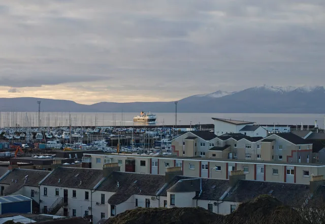 Ardrossan Town, North Ayrshire13 km SW
-
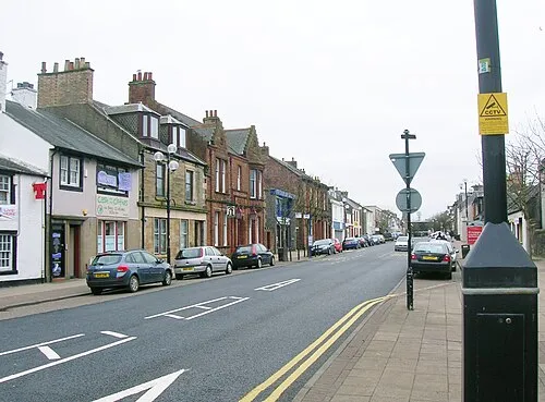 Irvine City, North Ayrshire15 km S
-
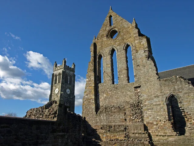 Kilwinning Town, North Ayrshire11 km S
-
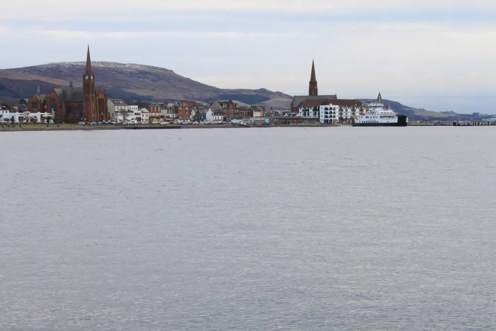 Largs Town, North Ayrshire12 km NW
-
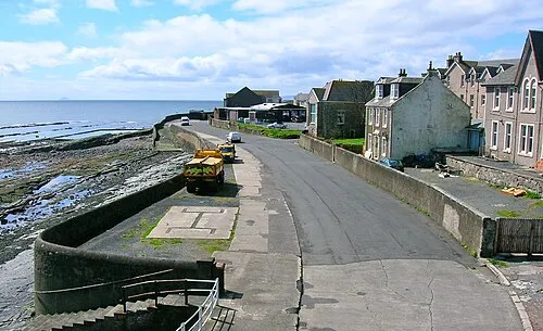 Saltcoats Town, North Ayrshire14 km SW
-
Stevenston Town, North Ayrshire13 km S
Sources & licences
Data last updated: · 2 independent sources