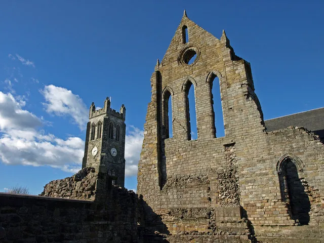
- Population
- 16,100
- 16.1K
- Elevation
- 22 m
- above sea level
- Local time
- UTC+00:00
- Europe/London · UTC+00:00
- Airports
- PIK Glasgow Prestwick Airport19 km
- GLA Glasgow Airport30 km
About Kilwinning
Kilwinning is a town. Location: North Ayrshire, Scotland. Population: 16,100. Elevation: 22 m.
Kilwinning (, Scots: Kilwinnin; Scottish Gaelic: Cill D’Fhinnein) is a town in North Ayrshire, Scotland, located on the banks of the River Garnock in Ayrshire, about 21 miles (34 km) southwest of Glasgow. Kilwinning's neighbours are the coastal towns of Stevenston to the west and Irvine to the south, while inland lies Dalry to the north. It is known as "The Crossroads of Ayrshire". Kilwinning was also a Civil Parish. The 2001 Census recorded the town as having a population of 15,908.
Source: Wikipedia · CC BY-SA 4.0
Photos of Kilwinning
-

WeeHolly · CC BY-SA 4.0 -

Rosser1954 · CC BY-SA 3.0 -

WeeHolly · CC BY-SA 4.0 -

Rosser1954 · CC BY-SA 3.0 -

Rosser1954 Roger Griffith · Public domain


Travel notes for Kilwinning
From Wikivoyage
Kilwinning is a town near the Ayrshire coast of Scotland, some 21 miles southwest of Glasgow. It's run-down and post-industrial, with a population in 2020 of 16,100.
Understand+
The "Kil-" placename indicates the cell or abode of an early Christian saint - presumably Saint Winning but no-one knows who he was. (He may be the same fellow as St Ninian, St Finnian, and for all we know St Trinian.) An abbey was founded in the 12th century on the west bank of the River Garnock, with the village of Sagtown ("saint town") on the east bank. It was a small market town until the 19th century, when iron foundries were established powered by locally-mined coal; these were west bank and the town centre migrated there. An even greater expansion came in the 1960s when a series of "New Towns" were developed to remedy Scotland's poor stock of housing. Four of these were greenfield but the fifth was grafted onto the existing town of Irvine five miles south. Kilwinning was effectively a suburb of this ugly project, but in 1996 the New Town system was wound up and Kilwinning reverted to conventional local governance within North Ayrshire Council.
Get in+
Trains from Glasgow Central run every 15-20 min and take 35 min via Paisley Gilmour Street (for Glasgow Airport), Johnstone, Lochwinnoch, Glengarnock and Dalry. The last train leaves around midnight; a walk-up single in 2022 is £8. From Kilwinning they diverge either to Irvine, Troon, Prestwick Airport and town and Ayr, or to Stevenston, Saltcoats and Ardrossan (for ferries to the Isle of Arran), with some continuing to West Kilbride and Largs. Change at Ayr for the Glasgow-Stranraer-Belfast bus.
1 Kilwinning railway station is 400 yards west of town centre. It has a staffed ticket office and machines, an ATM, toilets and waiting room. There is step-free access to all platforms.
Stagecoach Bus 11 runs from Kilmarnock via Irvine, taking 45 min to Kilwinning and continuing to Stevenston, Saltcoats and Ardrossan. It's every 15 min M-Sa and every 30 min on Sunday.
Stagecoach Bus 25 from Irvine takes 12 min to Kilwinning and continues to Dalry, Kilbirnie, Glengarnock and Beith.
Stagecoach Bus X36 is a morning commuter run from Ardrossan via Kilwinning and Dalry to Glasgow, returning around 5PM; the rest of the day it only runs Dalry-Glasgow,
Shuttle Bus 38 plies hourly between Irvine and Kilwinning. Bus 149 runs once M-Sa around 7AM from Kilwinning to Cumnock and returns around 5:30PM.
There isn't a bus station here, the main stop is on Lauchlan Way north side of the retail strip.
By road from Glasgow leave M8 just past the airport and follow A737 southwest via Johnstone and Beith.
Source: Wikivoyage · CC BY-SA 4.0 · abridged
Climate of Kilwinning
Best months for sightseeingBest months for sightseeing: May–August.
This month · November
A wet month
Day 10° · Night 4° · Rain 122 mm
- Hottest month
- July (day 19°)
- Coldest month
- February (night 2°)
- Wettest month
- October (124 mm)
- Driest month
- May (58 mm)
Bars: average monthly low and high temperature. Below: precipitation. Monthly averages for 1970–2000 at about 18 km resolution, adjusted for elevation. Highlighted months are mild and relatively dry. Source: WorldClim 2.1 (CC BY 4.0).
Show values as a table
| Month | Jan | Feb | Mar | Apr | May | Jun | Jul | Aug | Sep | Oct | Nov | Dec |
|---|---|---|---|---|---|---|---|---|---|---|---|---|
| Average high (°C) | 7° | 7° | 9° | 11° | 15° | 17° | 19° | 18° | 16° | 13° | 10° | 8° |
| Average low (°C) | 2° | 2° | 3° | 4° | 7° | 9° | 11° | 11° | 9° | 7° | 4° | 3° |
| Precipitation (mm) | 120 | 85 | 94 | 59 | 58 | 64 | 75 | 88 | 109 | 124 | 122 | 119 |
How to get to Kilwinning
The nearest airport is Glasgow Prestwick Airport (PIK), 19 km to the southeast as the crow flies. The nearest large city is Glasgow, 37 km to the northeast.
Airports
- Glasgow Prestwick Airport (PIK) Prestwick, South Ayrshire 19 kmsoutheast
- Glasgow Airport (GLA) Glasgow 30 kmnortheast
- Campbeltown Airport (CAL) Campbeltown 66 kmwest
Nearby large cities
- Glasgow Population: 626.4K 37 kmnortheast
- Edinburgh Population: 515K 100 kmeast
- Dundee Population: 148.2K 141 kmnortheast
- Belfast Population: 348K 141 kmsouthwest
- Newcastle upon Tyne Population: 300.1K 210 kmeast
Straight-line distances; road distances are longer. Airport data: OurAirports.
Day trips from Kilwinning
Within 100 km: 135 historic and cultural sites, 3,306 natural sites, 1,182 lakes, rivers and coasts.
0–25 km140 places
- Great Cumbrae Island Island 18 kmNW
- Ayr Beach Beach 22 kmS
- Troon Beach Beach 13 kmS
- Hunterston Sands Beach 15 kmNW
25–60 km1,137 places
- Isle of Arran Island 35 kmW
- Pladda Island 36 kmSW
- Inchmarnock Island 31 kmNW
- Inchlonaig Island 50 kmN
60–100 km3,346 places
- Cramond beach Beach 96 kmNE
- Scarba Island 86 kmNW
- Cala Island 69 kmNW
- Torsa Island Island 88 kmNW
Straight-line distances.
Nearby attractions & nature
Everything nearby-
Dusk Water River, Scotland1.5 km N
-
Craigspark Hill Mountain, North Ayrshire5.8 km W
-
Lugton Water River, Scotland2.7 km SE
-
Pondery Hill Mountain, North Ayrshire6.3 km NE
-
Coal Hill Mountain, North Ayrshire6.4 km NW
-
Whin Hill Mountain, North Ayrshire6.7 km NE
-
Knock Jargon Mountain, North Ayrshire7.4 km NW
-
Caaf Water River, Scotland5.2 km N
Other cities and towns in North Ayrshire
-
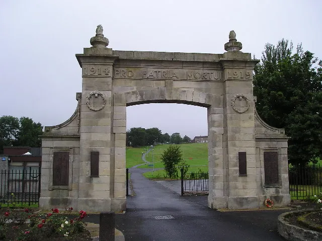 Kilbirnie Town, North Ayrshire11 km N
-
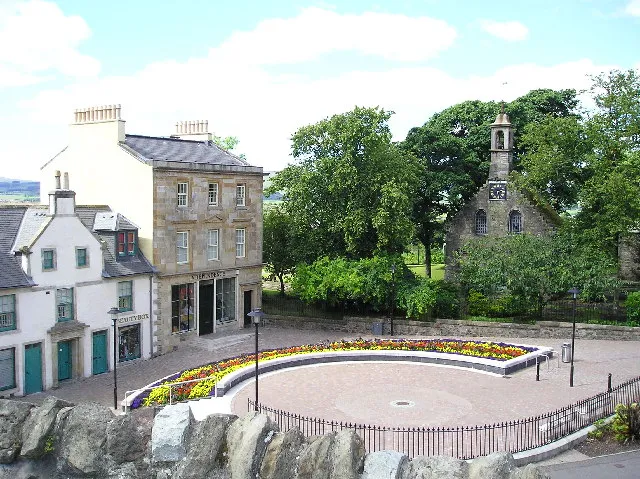 Beith Town, North Ayrshire12 km N
-
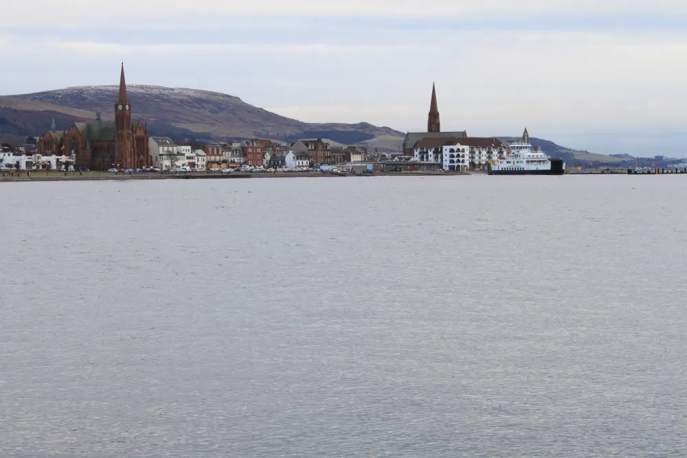 Largs Town, North Ayrshire19 km NW
-
Isle of Arran Town, North Ayrshire33 km W
Sources & licences
Data last updated: · 2 independent sources