East Dunbartonshire
Local name: Siorrachd Dhùn Bhreatann an Ear
Located in Scotland, United Kingdom Coordinates: 55°56′00″ N 4°12′00″ W
- Population
- 109,970
- 110K
- Elevation
- 40 m
- above sea level
- Local time
- UTC+00:00
- Europe/London · UTC+00:00
- Places inside
- 56
- listed under East Dunbartonshire
About East Dunbartonshire
East Dunbartonshire is a district. Location: Scotland, United Kingdom. Population: 109,970.
East Dunbartonshire (Scots: Aest Dunbartanshire; Scottish Gaelic: Siorrachd Dhùn Bhreatann an Ear, pronounced [ˈʃirˠəxk ɣun ˈvɾʲɛht̪ən̪ˠ ə ˈɲɛɾ]) is one of the 32 council areas of Scotland. It borders Glasgow City Council Area to the south, North Lanarkshire to the east, Stirling to the north, and West Dunbartonshire to the west.
Read more on Wikipedia Text: Wikipedia contributors · CC BY-SA 4.0 · shortened
At a glance
- Area
- 174 km²
Source: Wikidata
In comparison
- 34 sights and natural places within 10 km Luggie Water, Mounthuillie
- Listed here: Neighbourhood: 24, Village: 13, Mountain: 12, Town: 4
Places in East Dunbartonshire
56 places-
Bearsden Town28.5K
-
Bishopbriggs Town23.7K
-
Kirkintilloch City19.6K
-
Milngavie Town12.8K
-
Lenzie Town8.6K
-
Lennoxtown Village4.1K
-
Milton of Campsie Village4K
-
Torrance Village2.4K
-
Twechar Village1.2K
-
Antonine Wall Historic site
-
Auchenreoch Village
-
Auchinairn Neighbourhood
-
Back O Loch Neighbourhood
-
Baldernock Village
-
Balmore Village
-
Bardowie Village
-
Bar Hill Mountain
-
Barleybank Neighbourhood
-
Birdston Village
-
Boghead Neighbourhood
-
Broomhill Neighbourhood
-
Cadder Neighbourhood
-
Cairn Hill Mountain
-
Campsie Glen Natural site
-
Clachan of Campsie Village
-
Claddens Neighbourhood
-
Cleddans Neighbourhood
-
Craigmore Hill Mountain
-
Craigton Village Village
-
Douglas Park Mountain
-
Dumbreck Mountain
-
Duntiblae Neighbourhood
-
Eastside Neighbourhood
-
Gartshore Bing Mountain
-
Harestanes Neighbourhood
-
Haughhead Village
-
Hayston Neighbourhood
-
Heronryhill Mountain
-
High Gallowhill Neighbourhood
-
Hillfoot Village
-
Hillhead Neighbourhood
-
Langmuir Neighbourhood
-
Lecket Hill Mountain
-
Merkland Neighbourhood
-
Millersneuk Neighbourhood
-
Mounthuillie Mountain
-
Mount Zion Mountain
-
Mugdock Hill Mountain
-
Orchard Park Neighbourhood
-
Owsen Hill Mountain
-
Oxgang Neighbourhood
-
Rosebank Neighbourhood
-
The Greens Neighbourhood
-
Townhead Neighbourhood
-
Westermains Neighbourhood
-
Woodilee Neighbourhood
Nearby attractions & nature
Everything nearby-
Luggie Water River, Scotland3.1 km E
-
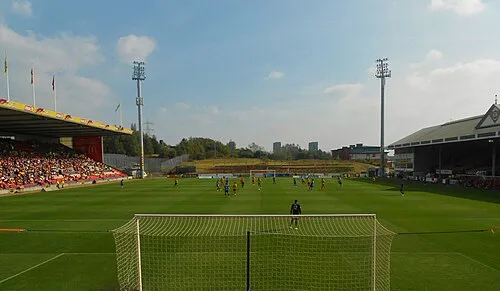 Firhill Stadium Landmark, Glasgow City7.2 km SW
-
Springburn Park Mountain, Glasgow City5.2 km S
-
Hogganfield Loch Lake, Scotland5.9 km S
-
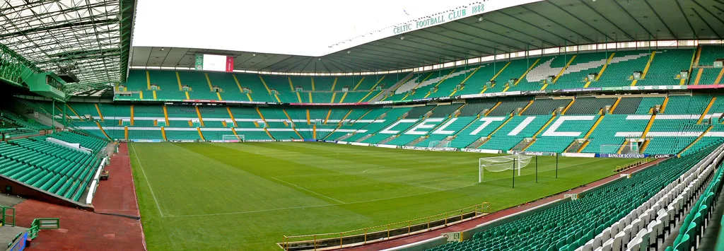 Celtic Park Landmark, Glasgow City9.4 km S
-
Crow Hill Mountain, Glasgow City5.9 km W
Sources & licences
Data last updated: · 2 independent sources