Milngavie
Local name: Muileann-Ghaidh
Located in East Dunbartonshire, Scotland Coordinates: 55°56′27″ N 4°19′23″ W
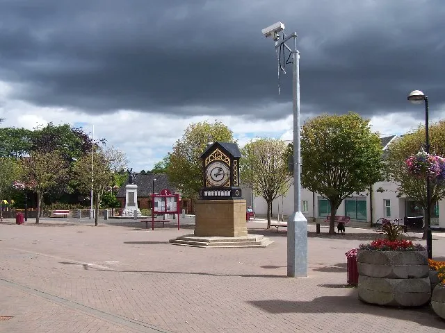
- Population
- 12,840
- 12.8K
- Elevation
- 66 m
- above sea level
- Local time
- UTC+00:00
- Europe/London · UTC+00:00
- Airports
- GLA Glasgow Airport10 km
- PIK Glasgow Prestwick Airport51 km
About Milngavie
Milngavie is a town. Location: East Dunbartonshire, Scotland. Population: 12,840. Elevation: 66 m.
Milngavie ( mul-GHY; Scottish Gaelic: Muileann-Ghaidh) is a town in East Dunbartonshire, Scotland and a suburb of Glasgow. It is on the Allander Water, at the northwestern edge of Greater Glasgow, and about ten kilometres (six miles) from Glasgow city centre. It neighbours Bearsden. In 2018, the Scottish Government published statistics for the town showing that the population increased to 13,537 in 6,062 households. The town is also a popular retirement location, with a high number of elderly people living there.
Source: Wikipedia · CC BY-SA 4.0
Photos of Milngavie
-

Rijksmuseum · CC0 -

Rijksmuseum · CC0 -

Rosser1954 · CC BY 4.0 -

Rosser1954 · CC BY 4.0 -

Ssojjoss · CC BY-SA 4.0


Travel notes for Milngavie
From Wikivoyage
Milngavie (pronounced "Mill-GUY") is a town in Clydeside in the Central Belt of Scotland. With a population of just under 13,000 in 2022, it's a commuter and retirement town for Glasgow six miles to the southwest. The main reason to visit is to walk the West Highland Way, which starts here. Milngavie is also a good base for exploring the Campsie Fells to the northeast, and Loch Lomond to the northwest.
Understand+
"Milngavie" may mean windmill (Gaelic muileann gaoithe) or windy hill (meall na gaoithe). Local lore derives it from muileann Dhàibhidh, "Davie's mill", but that was somewhere else and Davie was some other guy who wasn't even called Davie. It was a small farming village, sometimes allocated to Stirlingshire and sometimes to Dunbartonshire, before becoming industrial in the 19th century with paper mills and bleach works. It became a leafy well-to-do suburb once the railway arrived in 1863, then was heavily urbanised from 1950 to re-house those bombed out along Clydebank during the war. For a time the Glasgow trams even ran this far out. Those were axed in 1956 but Milngavie retained its rail and bus links to the city, and is now mostly a commuter town.
Milngavie pitched a daring bid to host the 2020 Summer Olympics. Somehow the decision went to Tokyo, then Paris pipped it for 2024. Huh, it's obvious money changed hands... better luck for 2028?
Get in+
By train: Trains run daily every 30 min from either Glasgow Central or Glasgow Queen Street, taking 25 min via Bearsden. Many of these run direct to Milngavie from Edinburgh or Motherwell, but along slow lines — it's quicker to take the fast train from Edinburgh to change at Queen Street, and from Motherwell to change at Central.
1 Milngavie railway station is central in town. There is a staffed ticket office and machines, coffee kiosk, waiting rooms and toilets. There is step-free access to all platforms.
By bus: Glasgow Citybus 15 runs from Glasgow North Frederick St via Hillhead, Kelvinside, Anniesland and Bearsden to Milngavie, taking just over an hour. It runs every 30 min M-F, hourly Saturday.
Midland Blue X10 / X10A runs from Glasgow Buchanan station via Maryhill and Bearsden to Milngavie (40 min) and continues via Balfron, Aberfoyle and Blairdrummond to Stirling. It runs hourly M-Sa.
McColls Bus 47 runs between Milngavie and Kirkintilloch M-Sa every couple of hours.
By road leave M8 at jcn 16 (from east) / 17 (from west) and follow A81 north through Bearsden.
Source: Wikivoyage · CC BY-SA 4.0 · abridged
Climate of Milngavie
Best months for sightseeingBest months for sightseeing: June–August.
This month · November
A wet month
Day 9° · Night 3° · Rain 143 mm
- Hottest month
- July (day 18°)
- Coldest month
- January (night 1°)
- Wettest month
- January (154 mm)
- Driest month
- April (65 mm)
Bars: average monthly low and high temperature. Below: precipitation. Monthly averages for 1970–2000 at about 18 km resolution, adjusted for elevation. Highlighted months are mild and relatively dry. Source: WorldClim 2.1 (CC BY 4.0).
Show values as a table
| Month | Jan | Feb | Mar | Apr | May | Jun | Jul | Aug | Sep | Oct | Nov | Dec |
|---|---|---|---|---|---|---|---|---|---|---|---|---|
| Average high (°C) | 6° | 7° | 8° | 11° | 14° | 17° | 18° | 18° | 15° | 12° | 9° | 7° |
| Average low (°C) | 1° | 1° | 2° | 3° | 6° | 9° | 11° | 10° | 9° | 6° | 3° | 1° |
| Precipitation (mm) | 154 | 106 | 116 | 65 | 71 | 67 | 75 | 91 | 125 | 146 | 143 | 141 |
How to get to Milngavie
The nearest airport is Glasgow Airport (GLA), 10 km to the southwest as the crow flies. The nearest large city is Glasgow, 9 km to the southeast.
Airports
- Glasgow Airport (GLA) Glasgow 10 kmsouthwest
- Glasgow Prestwick Airport (PIK) Prestwick, South Ayrshire 51 kmsouth
- Edinburgh Airport (EDI) Ingliston, Edinburgh 59 kmeast
Nearby large cities
- Glasgow Population: 626.4K 9 kmsoutheast
- Edinburgh Population: 515K 70 kmeast
- Dundee Population: 148.2K 102 kmnortheast
- Belfast Population: 348K 181 kmsouthwest
- Aberdeen Population: 198.6K 191 kmnortheast
Straight-line distances; road distances are longer. Airport data: OurAirports.
Day trips from Milngavie
Within 100 km: 180 historic and cultural sites, 3,805 natural sites, 1,162 lakes, rivers and coasts.
0–25 km234 places
- Inchcailloch Island 21 kmNW
- Aber Isle Island 19 kmNW
- Bucinch Island 24 kmNW
- Inchconnachan Island 25 kmNW
25–60 km1,265 places
- Great Cumbrae Island Island 42 kmSW
- Ayr Beach Beach 57 kmS
- Troon Beach Beach 49 kmSW
- Hunterston Sands Beach 43 kmSW
60–100 km3,648 places
- Isle of Arran Island 69 kmSW
- Burntisland Beach Beach 70 kmE
- Cramond beach Beach 64 kmE
- Portobello Beach Beach 76 kmE
Straight-line distances.
Nearby attractions & nature
Everything nearby-
Mugdock Hill Mountain, East Dunbartonshire1.9 km NE
-
Douglas Park Mountain, East Dunbartonshire2 km SE
-
Crow Hill Mountain, Glasgow City2.5 km SE
-
Mount Zion Mountain, East Dunbartonshire3.5 km NW
-
Mugdock Castle Historic site, Stirling2.9 km N
-
Cairn Hill Mountain, East Dunbartonshire3.7 km S
-
Gallow Hill Mountain, Stirling3.8 km N
-
Craigmore Hill Mountain, East Dunbartonshire4.9 km W
Other cities and towns in East Dunbartonshire
-
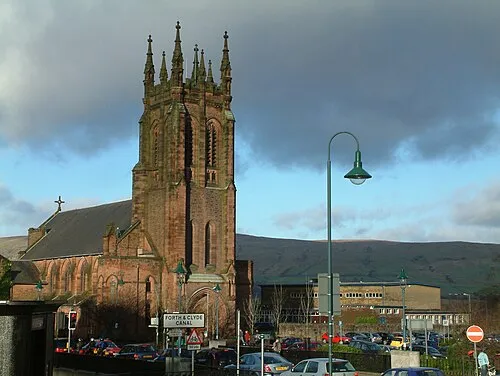 Kirkintilloch City, East Dunbartonshire11 km E
-
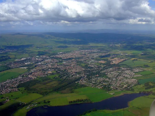 Lenzie Town, East Dunbartonshire11 km E
-
Bishopbriggs Town, East Dunbartonshire7.5 km SE
Sources & licences
Data last updated: · 2 independent sources