- Population
- 77,270
- 77.3K
- Elevation
- 50 m
- above sea level
- Local time
- UTC+00:00
- Europe/London · UTC+00:00
- Airports
- GLA Glasgow Airport4 km
- PIK Glasgow Prestwick Airport38 km
About Paisley
Paisley is a city. Location: Renfrewshire, Scotland. Population: 77,270. Elevation: 50 m. The best months to visit are June–August. The nearest airport is Glasgow Airport (4 km). Nearby sights include Museum the Art at Paisley High Street free and New St. Mirren Park.
Photos of Paisley
-
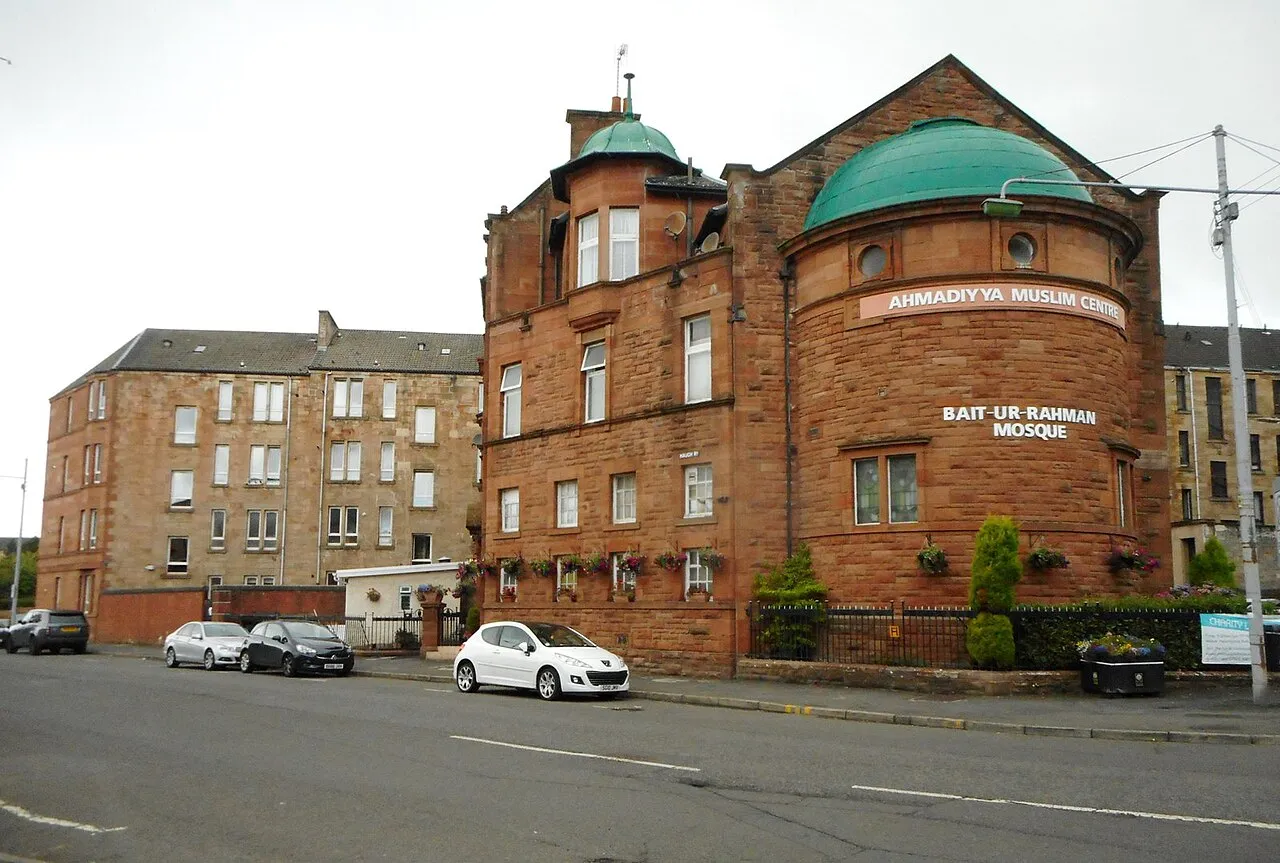
Bait-ur-Rahman Richard Sutcliffe · CC BY-SA 2.0 -
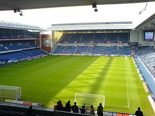
Glasgow Rangers Archibald99 · Public domain -
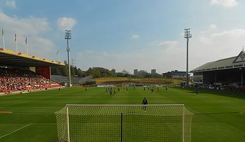
Firhill Stadium Andrew Hendo · CC BY-SA 3.0 -
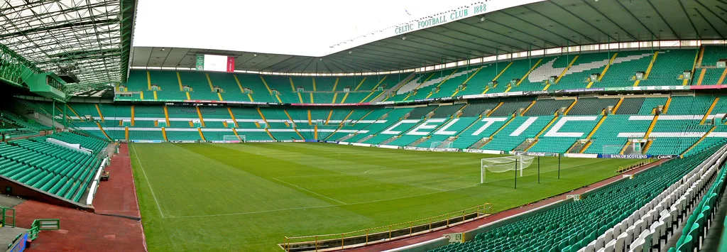
Celtic Park Zhi Yong Lee from Glasgow, UK · CC BY 2.0 -
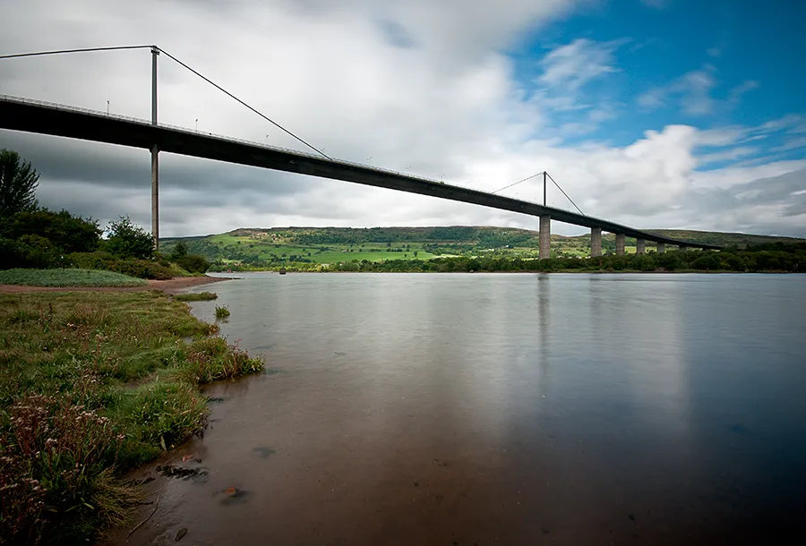
Erskine Bridge Baaker2009 from Dumbarton · CC BY 2.0


Climate of Paisley
Best months for sightseeingBest months for sightseeing: June–August.
This month · November
A wet month
Day 9° · Night 4° · Rain 152 mm
- Hottest month
- July (day 18°)
- Coldest month
- January (night 1°)
- Wettest month
- January (159 mm)
- Driest month
- April (71 mm)
Bars: average monthly low and high temperature. Below: precipitation. Monthly averages for 1970–2000 at about 18 km resolution, adjusted for elevation. Highlighted months are mild and relatively dry. Source: WorldClim 2.1 (CC BY 4.0).
Show values as a table
| Month | Jan | Feb | Mar | Apr | May | Jun | Jul | Aug | Sep | Oct | Nov | Dec |
|---|---|---|---|---|---|---|---|---|---|---|---|---|
| Average high (°C) | 7° | 7° | 8° | 11° | 14° | 17° | 18° | 18° | 15° | 12° | 9° | 7° |
| Average low (°C) | 1° | 1° | 2° | 3° | 6° | 9° | 11° | 11° | 9° | 6° | 4° | 2° |
| Precipitation (mm) | 159 | 111 | 123 | 71 | 74 | 73 | 82 | 100 | 134 | 155 | 152 | 150 |
How to get to Paisley
The nearest airport is Glasgow Airport (GLA), 4 km to the north as the crow flies. The nearest large city is Glasgow, 12 km to the east.
Airports
- Glasgow Airport (GLA) Glasgow 4 kmnorth
- Glasgow Prestwick Airport (PIK) Prestwick, South Ayrshire 38 kmsouth
- Edinburgh Airport (EDI) Ingliston, Edinburgh 68 kmeast
Nearby large cities
- Glasgow Population: 626.4K 12 kmeast
- Edinburgh Population: 515K 78 kmeast
- Dundee Population: 148.2K 115 kmnortheast
- Belfast Population: 348K 167 kmsouthwest
- Newcastle upon Tyne Population: 300.1K 203 kmsoutheast
Straight-line distances; road distances are longer. Airport data: OurAirports.
Day trips from Paisley
Within 100 km: 168 historic and cultural sites, 3,654 natural sites, 1,154 lakes, rivers and coasts.
0–25 km210 places
- Newshot Island Island 8 kmN
- Loch Thom Lake 23 kmW
- Queenside Loch Lake 19 kmW
- Long Loch Lake 10 kmS
25–60 km1,188 places
- Isle of Arran Island 57 kmSW
- Great Cumbrae Island Island 31 kmW
- Ayr Beach Beach 43 kmS
- Troon Beach Beach 35 kmSW
60–100 km3,578 places
- Burntisland Beach Beach 80 kmE
- Cramond beach Beach 73 kmE
- Portobello Beach Beach 84 kmE
- Scarba Island 89 kmNW
Straight-line distances.
Paisley and similar cities
Side by side with cities of similar size in the same country: population, elevation and climate.
| Measure | Paisley | Lisburn | Gateshead | Shrewsbury |
|---|---|---|---|---|
| Population | 77.3K | 77.5K | 77.6K | 76.8K |
| Elevation | 50 m | 53 m | 53 m | 75 m |
| Summer day (hottest month) | 18° | 19° | 20° | 21° |
| Winter night (coldest month) | 1° | 2° | 2° | 1° |
| Annual rainfall | 1,384 mm | 1,040 mm | 629 mm | 690 mm |
| Best months | Jun–Aug | Jun–Aug | Jun–Sep | Jun–Aug |
| Distance | — | 178 km | 204 km | 364 km |
Climate values are 1970–2000 monthly averages; straight-line distance.
Nearby attractions & nature
Everything nearby-
Museum the Art at Paisley High Street free Museum, Renfrewshire1.5 km N
-
New St. Mirren Park Landmark, Renfrewshire2.2 km N
-
St Mirren FC Landmark, Renfrewshire2.4 km N
-
Byres Hill Mountain, Renfrewshire3.2 km NE
-
Thornliemuir Mountain, East Renfrewshire3.7 km S
-
Hurlet Hill Mountain, Glasgow City3.9 km E
-
Glasgow Rangers Landmark, Glasgow City8.1 km E
-
River Gryfe River, Scotland4.4 km NW
Other cities and towns in Renfrewshire
Sources & licences
Data last updated: