Oxgangs
Located in Edinburgh, Scotland Coordinates: 55°54′25″ N 3°13′21″ W
- Elevation
- 135 m
- above sea level
- Local time
- UTC+00:00
- Europe/London · UTC+00:00
About Oxgangs
Oxgangs is a village. Location: Edinburgh, Scotland. Elevation: 135 m.
Oxgangs is a suburb in the south-west of Edinburgh, Scotland. Surrounding districts include Caiystane, Dreghorn, Redford, Fairmilehead, Colinton and Swanston and Colinton Mains. The post code area for Oxgangs is EH13.
Read more on Wikipedia Text: Wikipedia contributors · CC BY-SA 4.0 · shortened
In comparison
- Nearest larger town: Colinton, 2 km W
- 82 sights and natural places within 10 km Wester Craiglockhart Hill, Blackford Hill
Nearby attractions & nature
Everything nearby-
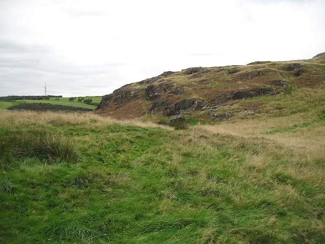 Torduff Hill Mountain, Edinburgh3.3 km SW
-
Wester Craiglockhart Hill Mountain, Edinburgh1.5 km NW
-
Fala Knowe Mountain, Midlothian3.6 km S
-
Lions Haunch Mountain, Edinburgh4.6 km NE
-
 Murrayfield Landmark, Edinburgh4.1 km N
-
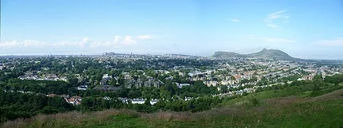 Blackford Hill Mountain, Edinburgh2.5 km NE
Sources & licences
Data last updated: · 2 independent sources