Slateford
Local name: Àth na Sglèata
Located in Edinburgh, Scotland Coordinates: 55°55′41″ N 3°14′36″ W
- Elevation
- 62 m
- above sea level
- Local time
- UTC+00:00
- Europe/London · UTC+00:00
About Slateford
Slateford is a village. Location: Edinburgh, Scotland. Elevation: 62 m.
Slateford (Scottish Gaelic: Àth na Sglèata) is an area of Edinburgh, the capital of Scotland. It is east of the Water of Leith. The former village of Slateford lies on the Lanark Road where it crosses the Water of Leith, 1⁄4 mile (400 m) south west of Slateford Station. The name "Slateford" comes from local rock found in the area and the old fording point on the Water of Leith that the village grew round.
Read more on Wikipedia Text: Wikipedia contributors · CC BY-SA 4.0 · shortened
In comparison
- Nearest larger town: Colinton, 2 km S
- 83 sights and natural places within 10 km Wester Craiglockhart Hill, Tynecastle Stadium
Nearby attractions & nature
Everything nearby-
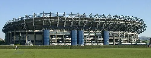 Murrayfield Landmark, Edinburgh1.6 km N
-
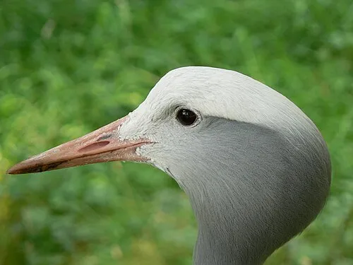 Edinburgh Zoo Attraction, Edinburgh2.2 km NW
-
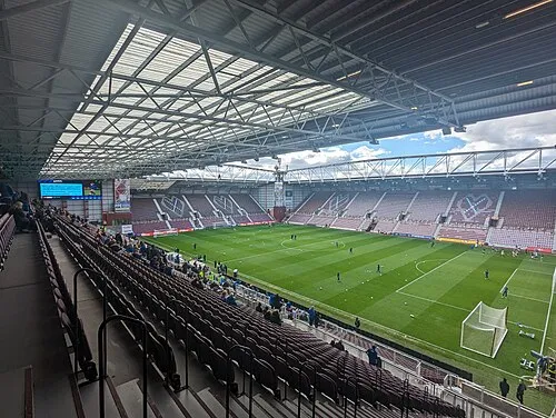 Tynecastle Stadium Landmark, Edinburgh1.4 km NE
-
Wester Craiglockhart Hill Mountain, Edinburgh1.3 km S
-
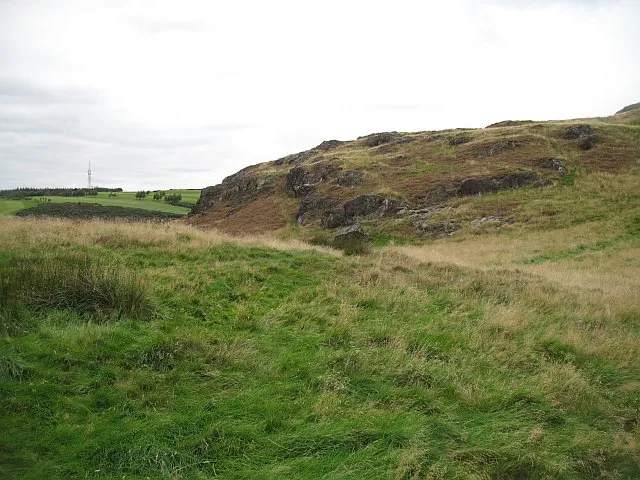 Torduff Hill Mountain, Edinburgh4.2 km SW
-
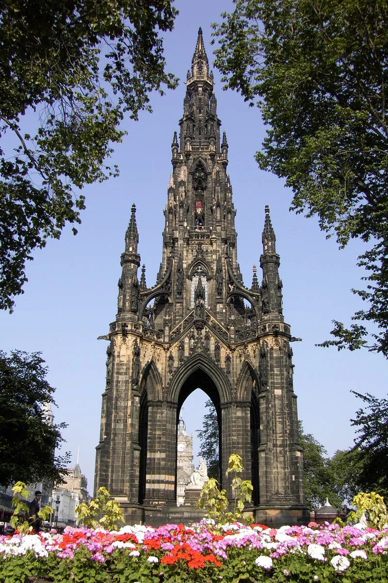 Scott Monument Landmark, Edinburgh4.1 km NE
Sources & licences
Data last updated: · 2 independent sources