Turnhouse
Located in Edinburgh, Scotland Coordinates: 55°57′17″ N 3°20′39″ W
- Elevation
- 40 m
- above sea level
- Local time
- UTC+00:00
- Europe/London · UTC+00:00
About Turnhouse
Turnhouse is a village. Location: Edinburgh, Scotland. Elevation: 40 m.
Turnhouse is a suburb in the Edinburgh, Scotland. It is located near to the villages of Maybury, Gogar, Cammo and West Craigs. The area is south east of Edinburgh Airport, and Turnhouse is also the name for the former Royal Air Force base (RAF Turnhouse), now closed, which dates back to the First World War and was the origin of the current civilian airport. It is now used for cargo operations in tandem with the main Edinburgh Airport.
Read more on Wikipedia Text: Wikipedia contributors · CC BY-SA 4.0 · shortened
In comparison
- Nearest larger town: Ratho Station, 3 km SW
- 67 sights and natural places within 10 km Lennie Hill, Craigie Hill
Nearby attractions & nature
Everything nearby-
Lennie Hill Mountain, Edinburgh0.9 km E
-
Craigie Hill Mountain, Edinburgh2 km N
-
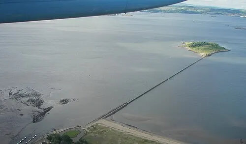 Cramond Island Island, Edinburgh5.5 km NE
-
Cramond beach Beach, Edinburgh4.1 km NE
-
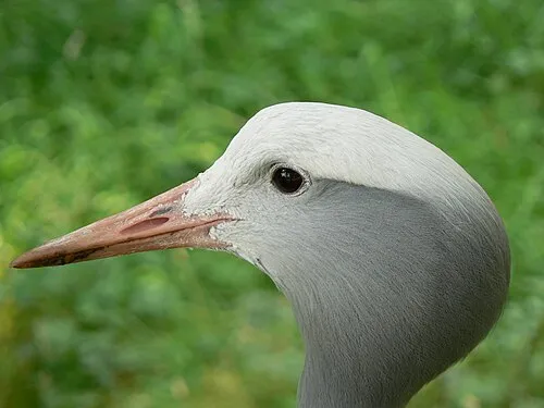 Edinburgh Zoo Attraction, Edinburgh4.9 km E
-
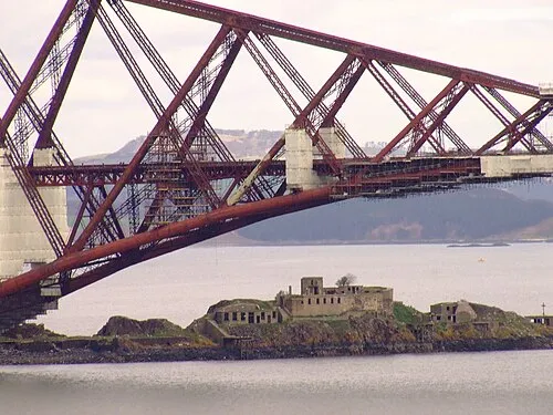 Inch Garvie Island, Edinburgh5.8 km NW
Sources & licences
Data last updated: · 2 independent sources