Denny
Local name: An Daingneach
Located in Falkirk, Scotland Coordinates: 56°01′25″ N 3°54′29″ W
- Population
- 7,860
- 7.9K
- Elevation
- 49 m
- above sea level
- Local time
- UTC+00:00
- Europe/London · UTC+00:00
About Denny
Denny is a town. Location: Falkirk, Scotland. Population: 7,860. Elevation: 49 m.
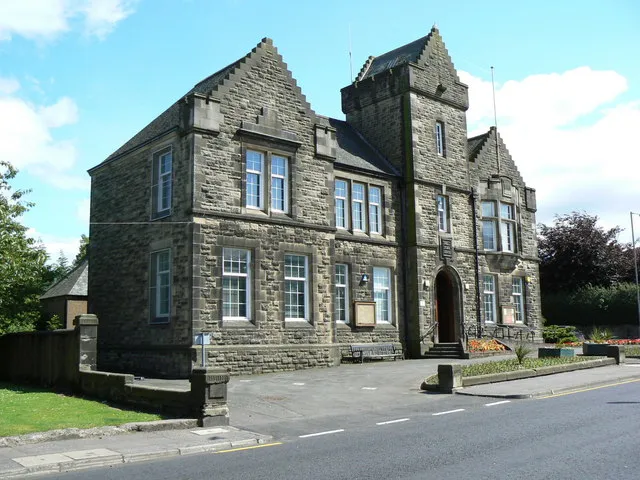
Denny (Scottish Gaelic: an Daingneach) is a town in the Falkirk council area of Scotland. Historically in Stirlingshire, it is situated 7 miles (11 kilometres) west of Falkirk, and 6 miles (10 km) northeast of Cumbernauld, adjacent to both the M80 and M876 motorways. In 2022, Denny had a population of 9,384.
Read more on Wikipedia Text: Wikipedia contributors · CC BY-SA 4.0 · shortened
At a glance
- Area
- 2.7 km²
Source: Wikidata
In comparison
- No. 6 of 36 places in Falkirk by population
- Nearest larger town: Larbert, 5 km E
- 24 sights and natural places within 10 km Tappoch, Myot Hill
Nearby attractions & nature
Everything nearby-
Tappoch Mountain, Falkirk3.1 km NE
-
Myot Hill Mountain, Falkirk3.1 km W
-
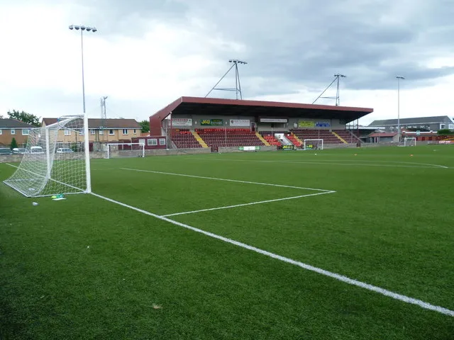 Ochilview Park Landmark, Falkirk5.9 km E
-
Skea Craig Mountain, Falkirk4.8 km NW
-
Barr Wood Hill Mountain, Stirling4.6 km NW
-
Darrach Hill Mountain, Falkirk5.8 km W
-
Loch Coulter Reservoir Lake, Stirling4.8 km W
-
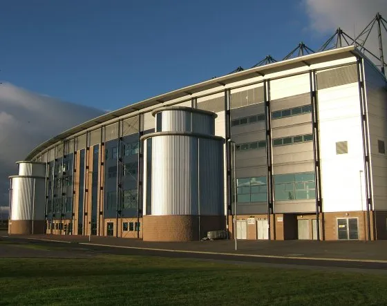 Falkirk Stadium Landmark, Falkirk9.8 km E
Other cities and towns in Falkirk
-
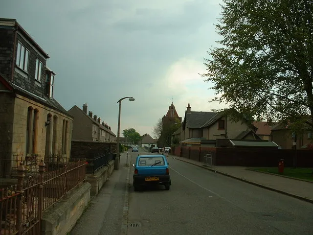 Stenhousemuir Town, Falkirk5.8 km E
-
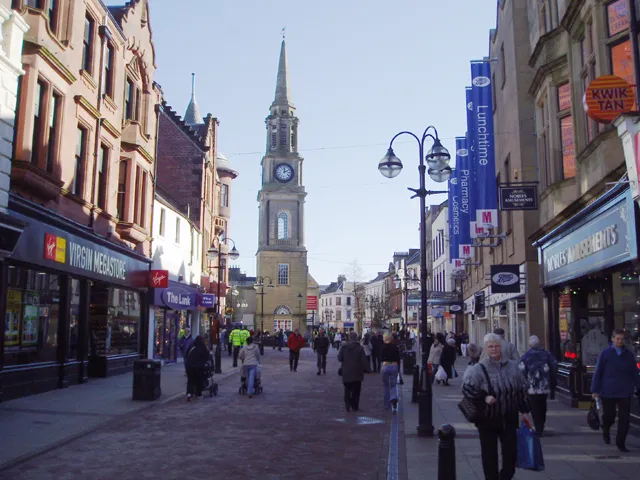 Falkirk City, Falkirk8 km E
-
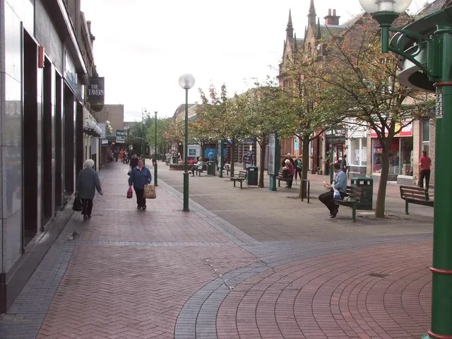 Grangemouth Town, Falkirk12 km E
-
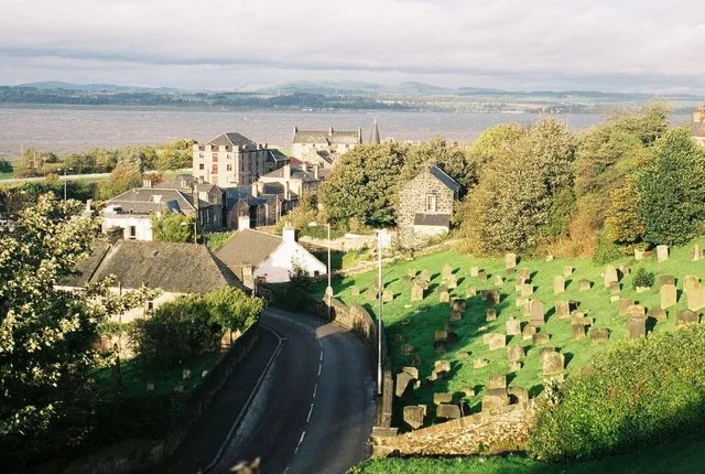 Bo'ness Town, Falkirk18 km E
-
Polmont Town, Falkirk13 km E
Sources & licences
Data last updated: · 2 independent sources