Stenhousemuir
Located in Falkirk, Scotland Coordinates: 56°01′36″ N 3°48′53″ W
- Population
- 9,620
- 9.6K
- Elevation
- 28 m
- above sea level
- Local time
- UTC+00:00
- Europe/London · UTC+00:00
About Stenhousemuir
Stenhousemuir is a town. Location: Falkirk, Scotland. Population: 9,620. Elevation: 28 m.
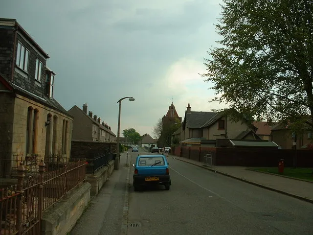
Stenhousemuir (; Scottish Gaelic: Featha Thaigh nan Clach) is a town in the Central Lowlands of Scotland. It lies within the Falkirk council area of Scotland. The town is two miles (three kilometres) north-northwest of Falkirk and directly adjoins to Larbert in the west, where the nearest rail access is located. The villages of Carron and Carronshore adjoin Stenhousemuir to the east but to a lesser extent. Historically, Stenhousemuir lies with the historic county of Stirlingshire.
Read more on Wikipedia Text: Wikipedia contributors · CC BY-SA 4.0 · shortened
At a glance
- Area
- 5.7 km²
Source: Wikidata
In comparison
- No. 4 of 36 places in Falkirk by population
- Nearest larger town: Falkirk, 3 km SE
- 18 sights and natural places within 10 km Ochilview Park, Tappoch
Airports nearest to Stenhousemuir
- Edinburgh Airport (EDI) Ingliston, Edinburgh 29 km
- Glasgow Airport (GLA) Glasgow 42 km
- Dundee Airport (DND) Dundee 68 km
Straight-line distance; airports with scheduled flights only. Source: OurAirports (public domain).
Nearby attractions & nature
Everything nearby-
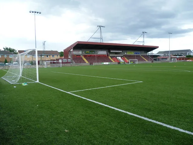 Ochilview Park Landmark, Falkirk0.2 km N
-
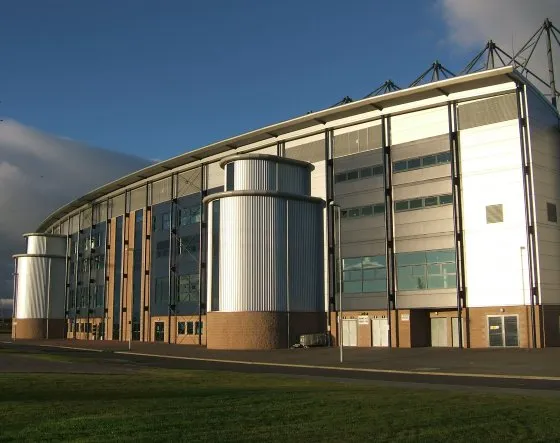 Falkirk Stadium Landmark, Falkirk4.4 km SE
-
Tappoch Mountain, Falkirk4.2 km NW
-
Callendar Park Natural site, Falkirk4.7 km SE
-
Callendar Wood Natural site, Falkirk4.8 km SE
-
Callendar Lake Lake, Falkirk5 km SE
-
River Carron River, Falkirk5.1 km E
-
Westerglen transmitting station, Mast 1 Landmark, Falkirk5.7 km S
Other cities and towns in Falkirk
-
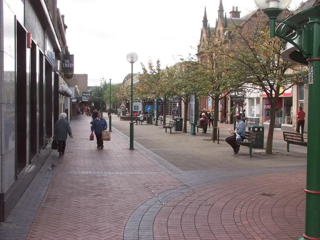 Grangemouth Town, Falkirk6 km E
-
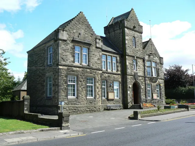 Denny Town, Falkirk5.8 km W
-
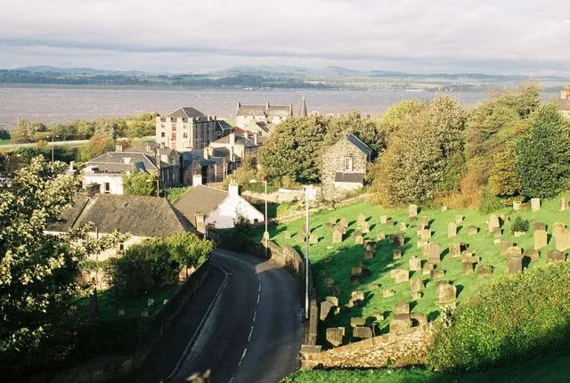 Bo'ness Town, Falkirk12 km E
-
Polmont Town, Falkirk7.8 km SE
Sources & licences
Data last updated: · 2 independent sources