Kingseat
Located in Fife, Scotland Coordinates: 56°05′52″ N 3°24′21″ W
- Population
- 770
- 770
- Elevation
- 164 m
- above sea level
- Local time
- UTC+00:00
- Europe/London · UTC+00:00
About Kingseat
Kingseat is a village. Location: Fife, Scotland. Population: 770. Elevation: 164 m.
Kingseat is a village in Fife, Scotland, approximately 1.5 miles (2.4 km) northeast of Dunfermline. It was originally a coal mining village with the first pits sunk in the area in the mid 1800s. According to local belief, the village’s name comes from royal visits to the area, where the king was said to have looked out over the River Forth and toward Arthur's Seat.
Read more on Wikipedia Text: Wikipedia contributors · CC BY-SA 4.0 · shortened
In comparison
- No. 59 of 66 places in Fife by population
- Nearest larger town: Townhill, 2 km SW
- 60 sights and natural places within 10 km Lochfitty Burn, Loch Fitty
Nearby attractions & nature
Everything nearby-
Lochfitty Burn River, Fife0.5 km NE
-
Hill of Beath Mountain, Fife1.2 km E
-
Loch Fitty Lake, Scotland0.7 km W
-
St Ninians East Mountain, Fife2.2 km N
-
St Ninians West Mountain, Fife2.3 km N
-
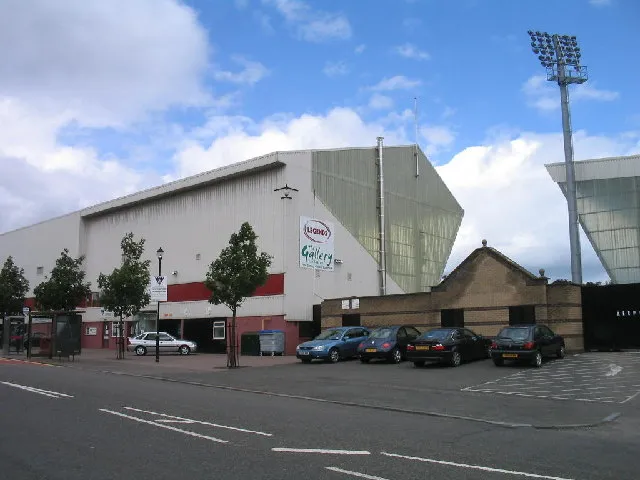 East End Park Landmark, Fife3.3 km SW
Sources & licences
Data last updated: · 2 independent sources