- Elevation
- 240 m
- above sea level
- Local time
- UTC+00:00
- Europe/London · UTC+00:00
- Airports
- EDI Edinburgh Airport16 km
- DND Dundee Airport46 km
About Hill of Beath
Hill of Beath is a mountain. Location: Fife, Scotland. Elevation: 240 m. The best months to visit are June–August. The nearest airport is Edinburgh Airport (16 km). Nearby sights include Lochfitty Burn and St Ninians East.
Photos of Hill of Beath
-
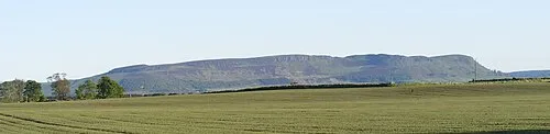
Benarty Hill Viewfinder · Public domain -
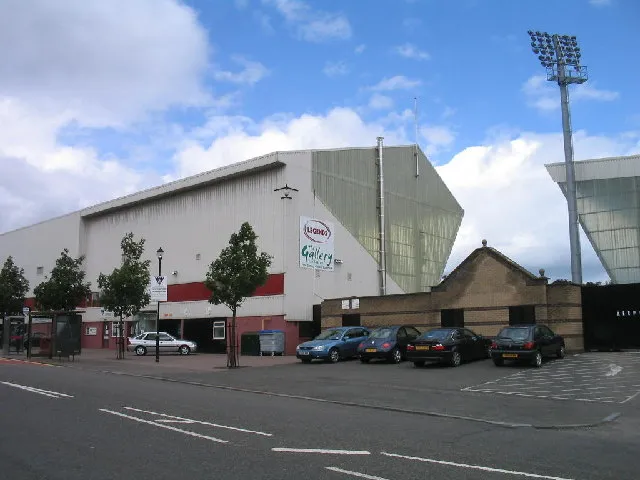
East End Park Ian Mitchell · CC BY-SA 2.0


Climate of Hill of Beath
Best months for sightseeingBest months for sightseeing: June–August.
This month · November
A cold month
Day 8° · Night 2° · Rain 81 mm
- Hottest month
- July (day 18°)
- Coldest month
- January (night 0°)
- Wettest month
- January (91 mm)
- Driest month
- April (50 mm)
Bars: average monthly low and high temperature. Below: precipitation. Monthly averages for 1970–2000 at about 18 km resolution, adjusted for elevation. Highlighted months are mild and relatively dry. Source: WorldClim 2.1 (CC BY 4.0).
Show values as a table
| Month | Jan | Feb | Mar | Apr | May | Jun | Jul | Aug | Sep | Oct | Nov | Dec |
|---|---|---|---|---|---|---|---|---|---|---|---|---|
| Average high (°C) | 5° | 6° | 8° | 10° | 13° | 16° | 18° | 18° | 15° | 11° | 8° | 6° |
| Average low (°C) | 0° | 0° | 1° | 2° | 5° | 8° | 10° | 10° | 8° | 5° | 2° | 0° |
| Precipitation (mm) | 91 | 62 | 72 | 50 | 59 | 61 | 62 | 63 | 77 | 89 | 81 | 85 |
How to get to Hill of Beath
The nearest airport is Edinburgh Airport (EDI), 16 km to the south as the crow flies. The nearest large city is Edinburgh, 20 km to the southeast.
Airports
- Edinburgh Airport (EDI) Ingliston, Edinburgh 16 kmsouth
- Dundee Airport (DND) Dundee 46 kmnortheast
- Glasgow Airport (GLA) Glasgow 70 kmwest
Nearby large cities
- Edinburgh Population: 515K 20 kmsoutheast
- Dundee Population: 148.2K 49 kmnortheast
- Glasgow Population: 626.4K 60 kmsouthwest
- Aberdeen Population: 198.6K 141 kmnortheast
- Newcastle upon Tyne Population: 300.1K 168 kmsoutheast
Straight-line distances; road distances are longer. Airport data: OurAirports.
Day trips from Hill of Beath
Within 100 km: 229 historic and cultural sites, 3,206 natural sites, 723 lakes, rivers and coasts.
0–25 km260 places
- Burntisland Beach Beach 11 kmE
- Cramond beach Beach 14 kmSE
- Portobello Beach Beach 23 kmSE
- Inchkeith Island 17 kmSE
25–60 km1,074 places
- Gullane Beach Beach 35 kmE
- Seacliff Beach Beach 47 kmE
- Mugdrum Island Island 30 kmN
- Isle of May Island 53 kmE
60–100 km2,824 places
- Cocklawburn Beach Beach 99 kmSE
- Inchlonaig Island 76 kmW
- Inchcailloch Island 73 kmW
- Ellens Isle Island 67 kmW
Straight-line distances.
Nearest towns and villages
-
Kingseat Village, Fife1.2 km W
-
Crossgates Village, Fife1.5 km SE
-
Cowdenbeath Town, Fife3.3 km NE
-
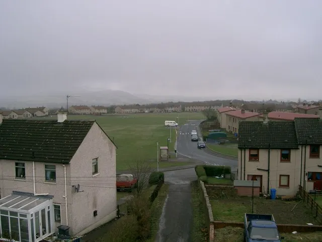 Kelty Town, Fife4.2 km N
-
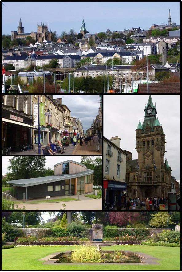 Dunfermline Town, Fife5.2 km SW
-
Townhill Village, Fife3.3 km W
Nearby attractions & nature
Everything nearby-
Lochfitty Burn River, Fife0.9 km NW
-
St Ninians East Mountain, Fife2.5 km N
-
Loch Fitty Lake, Scotland1.9 km W
-
St Ninians West Mountain, Fife2.8 km NW
-
Craigbeath Hill Mountain, Fife3 km NE
-
Tollie Hill Mountain, Fife4.3 km NE
-
East End Park Landmark, Fife4 km SW
-
Cullaloe Hills Mountain, Fife4.7 km E
More nature in United Kingdom
-
Benarty Hill Mountain, Fife8 km N
-
Pilkham Hills Mountain, Fife4.9 km E
-
Pinnel Hill Mountain, Fife5.7 km SE
-
Lathalmond Hill Mountain, Fife5.8 km W
-
Albion Park Mountain, Fife5.8 km NE
-
East Hill Mountain, Fife5.8 km W
Sources & licences
Data last updated: