- Elevation
- 494 m
- above sea level
- Local time
- UTC+00:00
- Europe/London · UTC+00:00
- Airports
- GLA Glasgow Airport88 km
- INV Inverness Airport117 km
About An Grianan
An Grianan is a mountain. Location: Highland, Scotland. Elevation: 494 m. The nearest airport is Glasgow Airport (88 km). Nearby sights include Buachaille Etive Mor - Stob na Broige and Beinn Ceitlein.
Photos of An Grianan
-
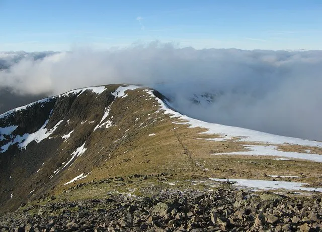
Stob Ghabhar Richard Webb · CC BY-SA 2.0 -
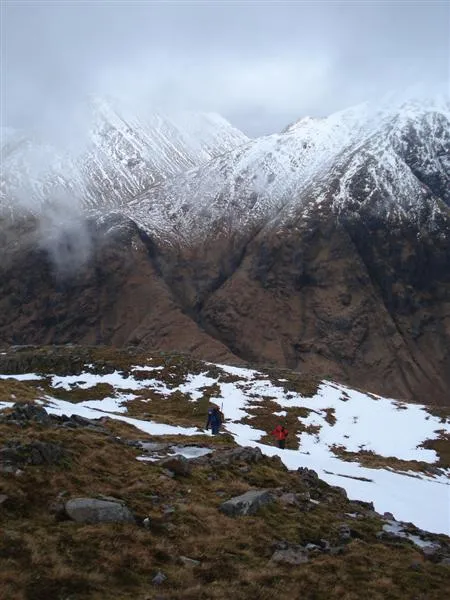
Beinn Ceitlein Tony Kinghorn · CC BY-SA 2.0 -
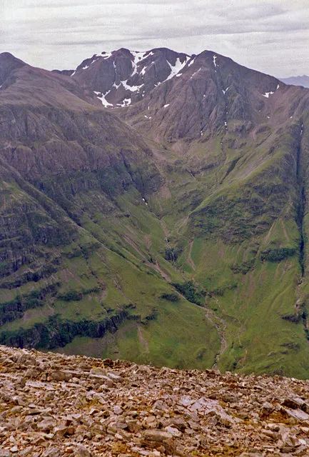
Bidean nam Bian wfmillar · CC BY-SA 2.0 -
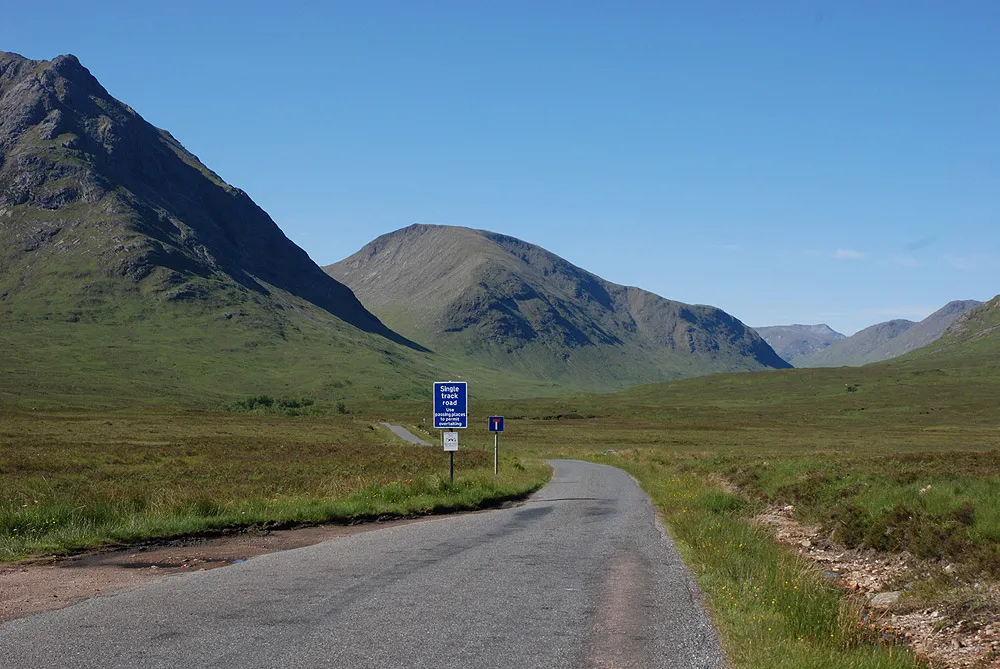
Beinn Mhic Chasgaig Nigel Brown · CC BY-SA 2.0 -
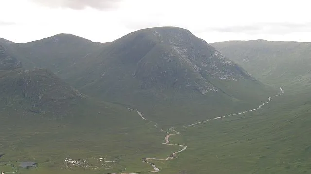
Meall nan Eun Richard Webb · CC BY-SA 2.0


Climate of An Grianan
This month · November
A wet month
Day 6° · Night 1° · Rain 267 mm
- Hottest month
- July (day 15°)
- Coldest month
- February (night -1°)
- Wettest month
- January (298 mm)
- Driest month
- June (117 mm)
Bars: average monthly low and high temperature. Below: precipitation. Monthly averages for 1970–2000 at about 18 km resolution, adjusted for elevation. Highlighted months are mild and relatively dry. Source: WorldClim 2.1 (CC BY 4.0).
Show values as a table
| Month | Jan | Feb | Mar | Apr | May | Jun | Jul | Aug | Sep | Oct | Nov | Dec |
|---|---|---|---|---|---|---|---|---|---|---|---|---|
| Average high (°C) | 4° | 4° | 5° | 8° | 12° | 14° | 15° | 15° | 13° | 9° | 6° | 4° |
| Average low (°C) | -1° | -1° | 0° | 1° | 4° | 7° | 9° | 9° | 7° | 4° | 1° | -1° |
| Precipitation (mm) | 298 | 194 | 227 | 128 | 119 | 117 | 135 | 161 | 225 | 259 | 267 | 276 |
How to get to An Grianan
The nearest airport is Glasgow Airport (GLA), 88 km to the south as the crow flies. The nearest large city is Glasgow, 93 km to the southeast.
Airports
- Glasgow Airport (GLA) Glasgow 88 kmsouth
- Inverness Airport (INV) Inverness, Highland 117 kmnortheast
- Tiree Airport (TRE) Balemartine, Argyll and Bute 119 kmwest
Nearby large cities
- Glasgow Population: 626.4K 93 kmsoutheast
- Dundee Population: 148.2K 122 kmeast
- Edinburgh Population: 515K 131 kmsoutheast
- Aberdeen Population: 198.6K 184 kmeast
- Belfast Population: 348K 233 kmsouth
Straight-line distances; road distances are longer. Airport data: OurAirports.
Day trips from An Grianan
Within 100 km: 97 historic and cultural sites, 4,738 natural sites, 1,380 lakes, rivers and coasts.
0–25 km398 places
- Sgeir Dubh Island 23 kmW
- Eilean Molach Island 13 kmE
- Eilean na Feusaige Island 23 kmS
- Eilean na h-Iolaire Island 14 kmE
25–60 km2,240 places
- Eriska Island 30 kmW
- Torsa Island Island 57 kmSW
- Shuna Island Island 27 kmW
- Shuna Island 60 kmSW
60–100 km3,577 places
- Great Cumbrae Island Island 94 kmS
- Colonsay Island 99 kmSW
- Eigg Island 81 kmNW
- Hunterston Sands Beach 98 kmS
Straight-line distances.
Nearest towns and villages
-
Dalness Village, Highland2.2 km W
-
Glenceitlein Village, Highland5.1 km SW
-
 Kinlochleven Village, Highland11 km N
-
 Glencoe Village, Highland12 km NW
-
 Ballachulish Village, Highland14 km NW
-
Highland Village, Highland11 km N
Nearby attractions & nature
Everything nearby-
Buachaille Etive Mor - Stob na Broige Mountain, Highland2.1 km N
-
Beinn Ceitlein Mountain, Highland2.4 km SW
-
Aonach Mor NW Top Mountain, Highland1.7 km SE
-
Beinn Ceitlein North Top Mountain, Highland1.9 km SW
-
Beinn Mhic Chasgaig Mountain, Highland3 km E
-
Meall Garbh Mountain, Highland2.5 km S
-
Stob Coire Altruim Mountain, Highland2.6 km N
-
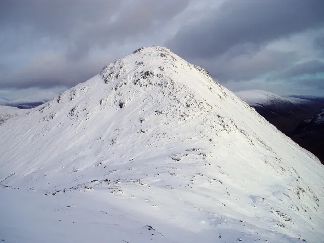 Buachaille Etive Beag - Stob Coire Raineach Mountain, Highland4.3 km N
More nature in United Kingdom
-
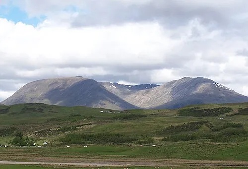 Creise Mountain, Highland4.7 km E
-
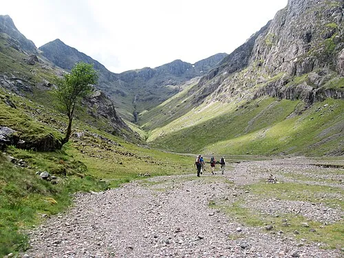 Stob Coire Sgreamhach Mountain, Highland4.8 km NW
-
Bidean nam Bian Mountain, Highland6.1 km NW
-
Clach Leathad Mountain, Highland5 km E
-
Beinn Ceitlein South Top Mountain, Highland2.9 km SW
-
Stob Dubh Mountain, Highland3 km SW
Sources & licences
Data last updated: