An Staonach
Located in Highland, Scotland Coordinates: 57°28′16″ N 5°37′14″ W
- Elevation
- 516 m
- above sea level
- Local time
- UTC+00:00
- Europe/London · UTC+00:00
About An Staonach
An Staonach is a mountain. Location: Highland, Scotland. Elevation: 516 m.
In comparison
- No. 4663 of 18223 mountains in United Kingdom by elevation
- 70 sights and natural places within 10 km Meallan Gobhar, Meall Breac
Airports nearest to An Staonach
- Stornoway Airport (SYY) Stornoway, Western Isles 93 km
- Inverness Airport (INV) Inverness, Highland 95 km
- Benbecula Airport (BEB) Balivanich 105 km
Straight-line distance; airports with scheduled flights only. Source: OurAirports (public domain).
Nearest towns and villages
-
Shieldaig Village, Highland6 km N
-
Lochcarron Village, Highland11 km SE
-
Kishorn Village, Highland8.3 km S
-
Ardarroch Village, Highland8.4 km S
-
Inveralligin Village, Highland9.5 km N
-
Ardheslaig Village, Highland9.8 km NW
Nearby attractions & nature
Everything nearby-
Meallan Gobhar Mountain, Highland2.1 km SE
-
Glen Shieldaig Natural site, Highland2.6 km N
-
Meall Breac Mountain, Highland2.4 km NW
-
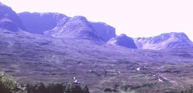 Beinn Bhan South Top Mountain, Highland4.5 km S
-
Sron Coire an Fhamhair Mountain, Highland3 km SW
-
Loch Lundie Lake, Highland2.7 km NW
-
Ben Shieldaig SE Top Mountain, Highland3.3 km N
-
A' Phoit Mountain, Highland3.5 km SW
More nature in United Kingdom
-
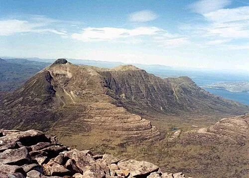 Beinn Damh Mountain, Highland6.6 km E
-
Beinn Bhan North Top Mountain, Highland3.6 km W
-
A' Chioch East Top Mountain, Highland3.8 km SW
-
A' Chioch Mountain, Highland4 km SW
-
Ben Shieldaig Mountain, Highland4.3 km N
-
Beinn Bhan Far North Top Mountain, Highland4.6 km W
Sources & licences
Data last updated: