Shieldaig
Located in Highland, Scotland Coordinates: 57°31′19″ N 5°39′04″ W
- Elevation
- 10 m
- above sea level
- Local time
- UTC+00:00
- Europe/London · UTC+00:00
About Shieldaig
Shieldaig is a village. Location: Highland, Scotland. Elevation: 10 m.
Shieldaig (Scottish Gaelic: Sìldeag; Old Norse: síld-vík, lit. 'herring bay') is a village in Wester Ross in the Northwest Highlands, in the Scottish council area of Highland.
Read more on Wikipedia Text: Wikipedia contributors · CC BY-SA 4.0 · shortened
In comparison
- Nearest larger town: Lochcarron, 17 km SE
- 75 sights and natural places within 10 km Shieldaig Island, Meall a' Choire Bhuidhe
Airports nearest to Shieldaig
- Stornoway Airport (SYY) Stornoway, Western Isles 87 km
- Inverness Airport (INV) Inverness, Highland 96 km
- Benbecula Airport (BEB) Balivanich 103 km
Straight-line distance; airports with scheduled flights only. Source: OurAirports (public domain).
Nearby attractions & nature
Everything nearby-
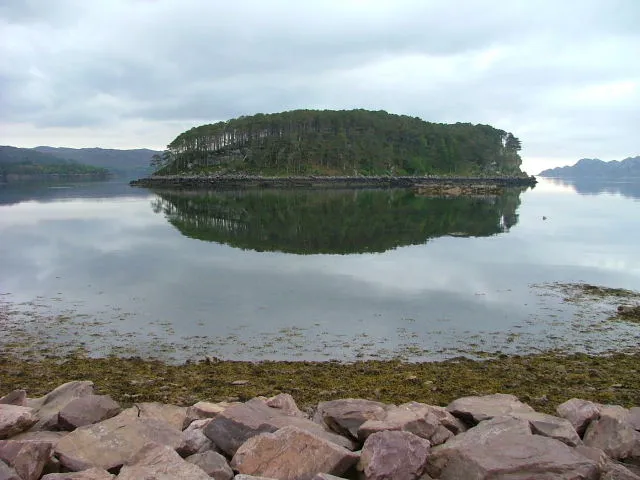 Shieldaig Island Island, Highland0.7 km NW
-
Meall a' Choire Bhuidhe Mountain, Highland0.9 km NE
-
Camas an Leim Mountain, Highland1.7 km N
-
Ben Shieldaig NW Top Mountain, Highland1.9 km SE
-
Camas Ruadh Mountain, Highland2 km N
-
Ben Shieldaig Mountain, Highland2.4 km SE
Sources & licences
Data last updated: · 2 independent sources