Basteir Tooth
Located in Highland, Scotland Coordinates: 57°14′52″ N 6°12′14″ W
- Elevation
- 917 m
- above sea level
- Local time
- UTC+00:00
- Europe/London · UTC+00:00
About Basteir Tooth
Basteir Tooth is a mountain. Location: Highland, Scotland. Elevation: 917 m.
In comparison
- No. 609 of 18223 mountains in United Kingdom by elevation
- 105 sights and natural places within 10 km Am Basteir, Sgurr a' Fionn Choire
Airports nearest to Basteir Tooth
- Benbecula Airport (BEB) Balivanich 74 km
- Barra Airport (BRR) Eoligarry 79 km
- Tiree Airport (TRE) Balemartine, Argyll and Bute 93 km
Straight-line distance; airports with scheduled flights only. Source: OurAirports (public domain).
Nearest towns and villages
-
Bualintur Village, Highland7.2 km SW
-
Glenbrittle Village, Highland6.6 km SW
-
Culnamean Village, Highland7.1 km SW
-
Drynoch Village, Highland8.7 km NW
-
Eynort Village, Highland8.3 km W
-
Camasunary Village, Highland8.4 km SE
Nearby attractions & nature
Everything nearby-
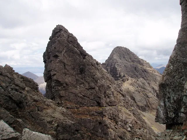 Am Basteir Mountain, Highland0.1 km NE
-
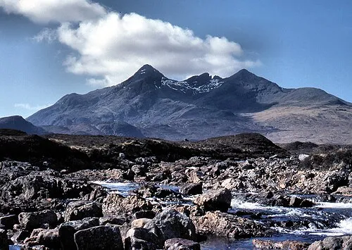 Sgùrr nan Gillean Mountain, Highland0.6 km E
-
Sgurr a' Fionn Choire Mountain, Highland0.1 km SW
-
Bruach na Frithe Mountain, Highland0.4 km W
-
Sgurr a' Bhasteir Mountain, Highland0.5 km N
-
Knight's Peak Mountain, Highland0.7 km E
-
Sgurr nan Gillean Third Pinnacle Mountain, Highland0.7 km E
-
An Caisteal Mountain, Highland0.9 km SW
More nature in United Kingdom
-
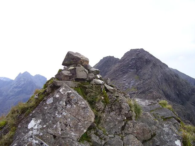 Sgurr a' Mhadaidh Mountain, Highland2.5 km SW
-
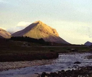 Marsco Mountain, Highland4.3 km E
-
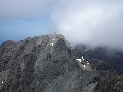 Sgurr Dearg - Inaccessible Pinnacle Mountain, Highland4.3 km SW
-
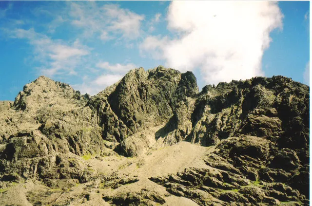 Sgurr Mhic Choinnich Mountain, Highland4.5 km S
-
Glen Sligachan Natural site, Highland2.3 km E
-
Sgurr Beag Mountain, Highland1.3 km SE
Sources & licences
Data last updated: