Sgurr Dearg - Inaccessible Pinnacle
Located in Highland, Scotland Coordinates: 57°12′47″ N 6°14′03″ W
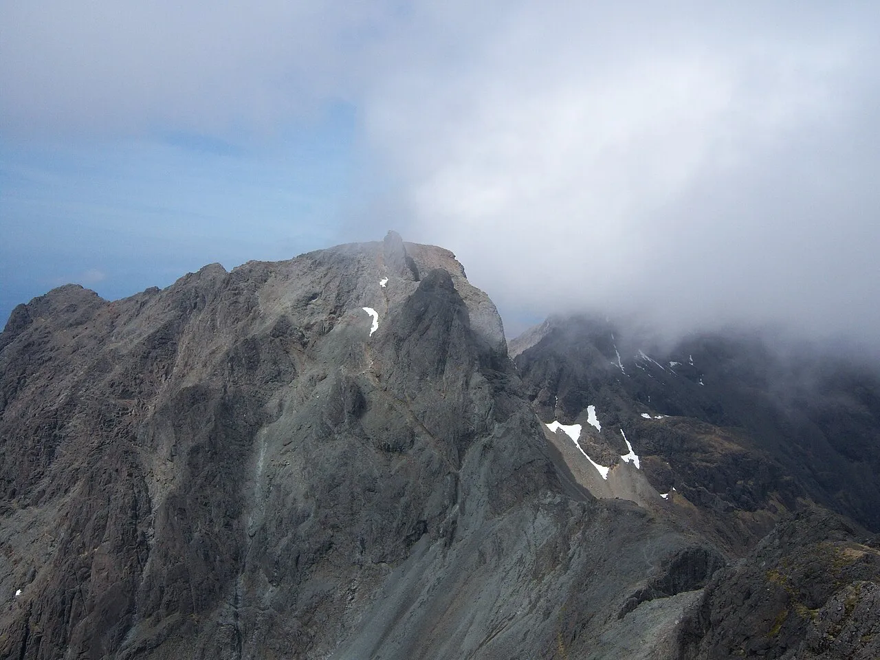
- Elevation
- 986 m
- above sea level
- Local time
- UTC+00:00
- Europe/London · UTC+00:00
- Airports
- BEB Benbecula Airport74 km
- BRR Barra Airport76 km
About Sgurr Dearg - Inaccessible Pinnacle
Sgurr Dearg - Inaccessible Pinnacle is a mountain. Location: Highland, Scotland. Elevation: 986 m.
Sgùrr Dearg (Scottish Gaelic for 'red rocky peak') is a mountain in the Cuillin on the Isle of Skye, Scotland. It is topped by the Inaccessible Pinnacle (or An Stac in Gaelic), a fin of rock measuring 50 metres (160 ft) along its longest edge. The top of the Pinnacle stands at 985.8 m (3,234 ft) above sea level, making Sgùrr Dearg the only Munro with a peak that can only be reached by rock climbing. This makes it the biggest hurdle for many Munro baggers.
Source: Wikipedia · CC BY-SA 4.0
At a glance
- Topographic prominence
- 182 m
Source: Wikidata
Photos of Sgurr Dearg - Inaccessible Pinnacle
-

John Fielding · CC BY-SA 2.0 -

James Allan · CC BY-SA 2.0 -
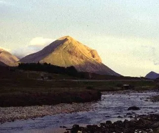
Marsco Lynne Kirton · CC BY-SA 2.0 -
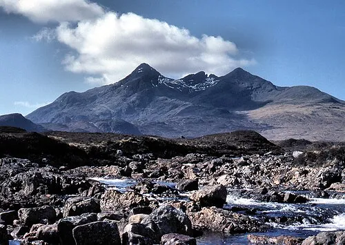
Sgùrr nan Gillean Adrian Pingstone · Public domain -
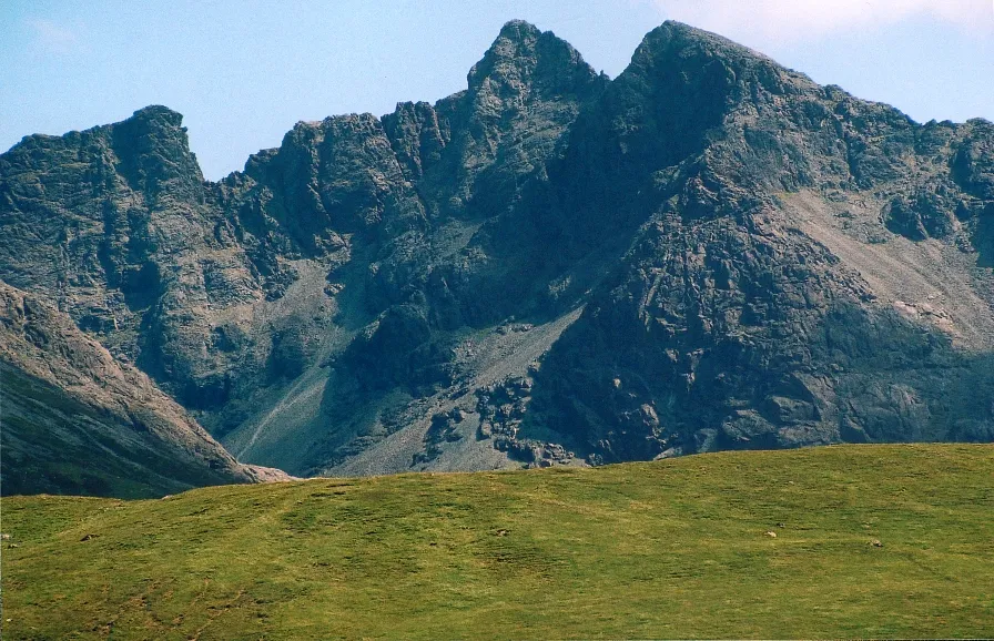
Sgùrr Alasdair A' chachaileith · Public domain


Climate of Sgurr Dearg - Inaccessible Pinnacle
This month · November
A wet month
Day 3° · Night -1° · Rain 249 mm
- Hottest month
- July (day 11°)
- Coldest month
- February (night -3°)
- Wettest month
- November (249 mm)
- Driest month
- May (100 mm)
Bars: average monthly low and high temperature. Below: precipitation. Monthly averages for 1970–2000 at about 18 km resolution, adjusted for elevation. Highlighted months are mild and relatively dry. Source: WorldClim 2.1 (CC BY 4.0).
Show values as a table
| Month | Jan | Feb | Mar | Apr | May | Jun | Jul | Aug | Sep | Oct | Nov | Dec |
|---|---|---|---|---|---|---|---|---|---|---|---|---|
| Average high (°C) | 1° | 1° | 2° | 4° | 7° | 9° | 11° | 11° | 9° | 6° | 3° | 1° |
| Average low (°C) | -3° | -3° | -3° | -1° | 1° | 4° | 6° | 6° | 4° | 1° | -1° | -3° |
| Precipitation (mm) | 228 | 147 | 187 | 111 | 100 | 114 | 124 | 142 | 217 | 241 | 249 | 237 |
How to get to Sgurr Dearg - Inaccessible Pinnacle
The nearest airport is Benbecula Airport (BEB), 74 km to the northwest as the crow flies. The nearest large city is Glasgow, 193 km to the southeast.
Airports
- Benbecula Airport (BEB) Balivanich 74 kmnorthwest
- Barra Airport (BRR) Eoligarry 76 kmwest
- Tiree Airport (TRE) Balemartine, Argyll and Bute 88 kmsouthwest
Nearby large cities
- Glasgow Population: 626.4K 193 kmsoutheast
- Dundee Population: 148.2K 215 kmeast
- Edinburgh Population: 515K 234 kmsoutheast
- Aberdeen Population: 198.6K 250 kmeast
- Belfast Population: 348K 292 kmsouth
Straight-line distances; road distances are longer. Airport data: OurAirports.
Day trips from Sgurr Dearg - Inaccessible Pinnacle
Within 100 km: 38 historic and cultural sites, 3,172 natural sites, 1,461 lakes, rivers and coasts.
0–25 km292 places
- Isle of Skye Island 10 kmN
- Island of Raasay Island 21 kmNE
- Scalpay Island 17 kmNE
- Dùn Mòr Island 24 kmSW
25–60 km1,254 places
- Hebrides Island 44 kmSW
- Eigg Island 35 kmS
- The Coral Beaches Beach 40 kmNW
- Clett Island 43 kmNW
60–100 km3,125 places
- Isle of Harris Natural site 84 kmNW
- Isle of Barra Beach Beach 82 kmW
- Scalpay Island 77 kmN
- Oronsay Island 64 kmS
Straight-line distances.
Nearest towns and villages
-
 Bualintur Village, Highland3.8 km W
-
Glenbrittle Village, Highland3.3 km W
-
Culnamean Village, Highland3.4 km W
-
Mol-chlach Village, Highland7.5 km S
-
Elgol Village, Highland11 km SE
-
Camasunary Village, Highland7.8 km E
Nearby attractions & nature
Everything nearby-
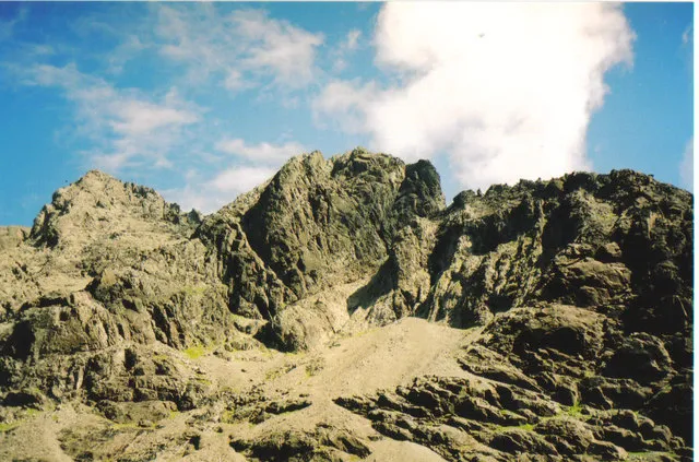 Sgurr Mhic Choinnich Mountain, Highland0.8 km SE
-
Sgùrr Alasdair Mountain, Highland0.9 km SE
-
Sgurr Dearg - Cairn Mountain, Highland0.1 km NW
-
Sgurr na Banachdich Central Top Mountain, Highland0.8 km NW
-
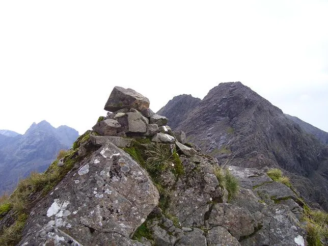 Sgurr a' Mhadaidh Mountain, Highland2 km N
-
Sgurr Sgumain Mountain, Highland1 km SE
-
Sgurr na Banachdaich Mountain, Highland1 km NW
-
Sgurr Thearlaich Mountain, Highland1 km SE
More nature in United Kingdom
-
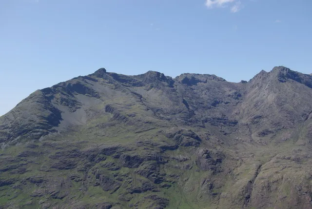 Sgurr nan Eag Mountain, Highland2.4 km SE
-
Sgurr nan Gobhar Mountain, Highland2.1 km NW
-
Cuillin Hills Mountain, Highland1.1 km E
-
Sgurr Thormaid Mountain, Highland1.1 km N
-
Sgurr a' Ghreadaidh South Top Mountain, Highland1.4 km N
-
Sgurr Dubh an Da Bheinn Mountain, Highland1.5 km SE
Sources & licences
Data last updated: · 2 independent sources