Sgurr nan Eag
Located in Highland, Scotland Coordinates: 57°11′46″ N 6°12′38″ W
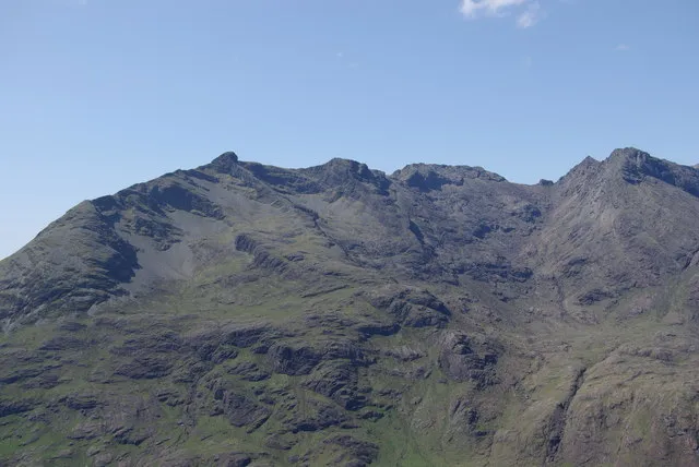
- Elevation
- 926 m
- above sea level
- Local time
- UTC+00:00
- Europe/London · UTC+00:00
About Sgurr nan Eag
Sgurr nan Eag is a mountain. Location: Highland, Scotland. Elevation: 926 m.
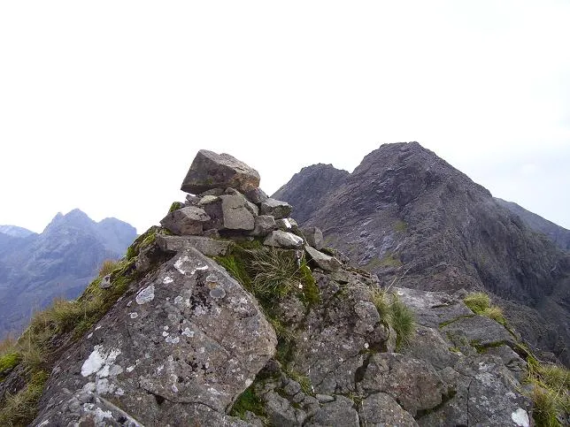
Sgùrr nan Eag is a mountain 924 metres (3,031 ft) high in the Cuillin range on the Isle of Skye, Scotland. It is the southernmost Munro of the Cuillins and it lies between Coir' a' Ghrunnda to the west, Gars-bheinn to the east, and Garb-choire to the north.
Read more on Wikipedia Text: Wikipedia contributors · CC BY-SA 4.0 · shortened
At a glance
- Topographic prominence
- 130 m
Source: Wikidata
In comparison
- No. 557 of 18223 mountains in United Kingdom by elevation
- 90 sights and natural places within 10 km Caisteal a' Garbh-Choire, Stob Coir' a' Ghrunnda
Climate of Sgurr nan Eag
| Month | Jan | Feb | Mar | Apr | May | Jun | Jul | Aug | Sep | Oct | Nov | Dec |
|---|---|---|---|---|---|---|---|---|---|---|---|---|
| Average high (°C) | 1° | 1° | 3° | 4° | 8° | 10° | 11° | 11° | 9° | 6° | 3° | 2° |
| Average low (°C) | -3° | -3° | -2° | -1° | 2° | 4° | 6° | 6° | 4° | 2° | -1° | -2° |
| Precipitation (mm) | 228 | 147 | 187 | 111 | 100 | 114 | 124 | 142 | 217 | 241 | 249 | 237 |
Monthly averages for 1970–2000 at about 18 km resolution, adjusted for elevation. Highlighted months are mild and relatively dry. Source: WorldClim 2.1 (CC BY 4.0).
Airports nearest to Sgurr nan Eag
- Benbecula Airport (BEB) Balivanich 76 km
- Barra Airport (BRR) Eoligarry 77 km
- Tiree Airport (TRE) Balemartine, Argyll and Bute 87 km
Straight-line distance; airports with scheduled flights only. Source: OurAirports (public domain).
Nearest towns and villages
-
Culnamean Village, Highland4.6 km W
-
Bualintur Village, Highland5.2 km W
-
Glenbrittle Village, Highland5 km W
-
Mol-chlach Village, Highland5.5 km S
-
Elgol Village, Highland8.5 km SE
-
Camasunary Village, Highland6 km E
Nearby attractions & nature
Everything nearby-
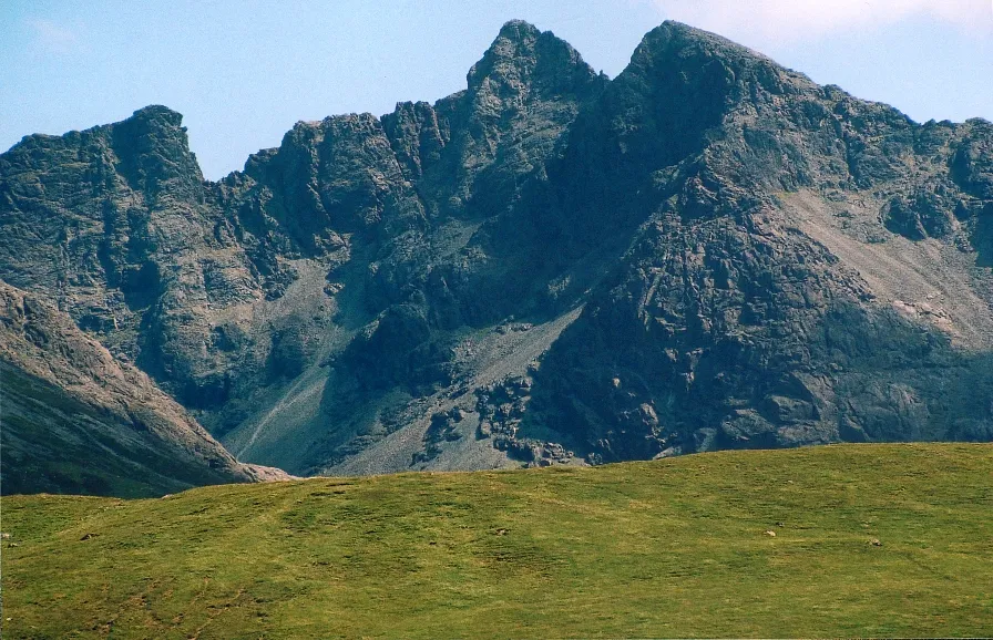 Sgùrr Alasdair Mountain, Highland1.4 km NW
-
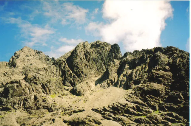 Sgurr Mhic Choinnich Mountain, Highland1.7 km NW
-
Caisteal a' Garbh-Choire Mountain, Highland0.7 km NW
-
Stob Coir' a' Ghrunnda Mountain, Highland0.9 km NW
-
Sgurr a' Choire Bhig Mountain, Highland0.9 km SE
-
Sgurr Dubh an Da Bheinn Mountain, Highland0.9 km N
-
Sgurr Dubh Mor Mountain, Highland1 km N
-
Sgurr Dubh Beag Mountain, Highland1.2 km NE
More nature in United Kingdom
-
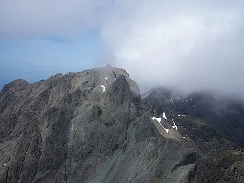 Sgurr Dearg - Inaccessible Pinnacle Mountain, Highland2.4 km NW
-
 Sgurr a' Mhadaidh Mountain, Highland4.1 km N
-
Gars-bheinn Mountain, Highland1.3 km SE
-
Sgurr Thearlaich Mountain, Highland1.4 km NW
-
Sgurr Sgumain Mountain, Highland1.4 km NW
-
Sgurr nan Gobhar Mountain, Highland4.3 km NW
Sources & licences
Data last updated: · 2 independent sources