- Elevation
- 401 m
- above sea level
- Local time
- UTC+00:00
- Europe/London · UTC+00:00
- Airports
- BEB Benbecula Airport72 km
- BRR Barra Airport78 km
About Beinn na Gaoithe
Beinn na Gaoithe is a mountain. Location: Highland, Scotland. Elevation: 401 m. The nearest airport is Benbecula Airport (72 km). Nearby sights include Beinn Bhreac and Am Mam.
Photos of Beinn na Gaoithe
-
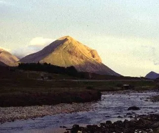
Marsco Lynne Kirton · CC BY-SA 2.0 -
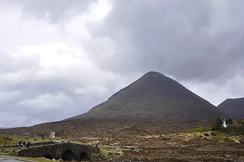
Glamaig - Sgurr Mhairi Paul Hermans · CC BY-SA 3.0 -
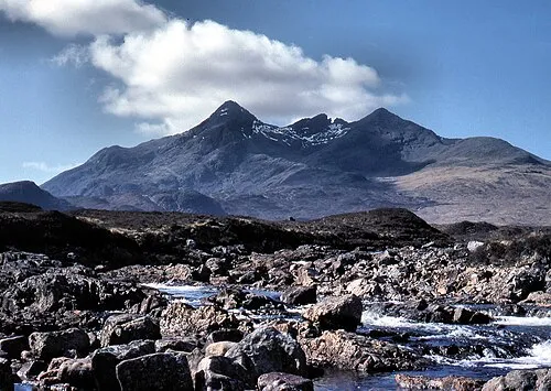
Sgùrr nan Gillean Adrian Pingstone · Public domain -
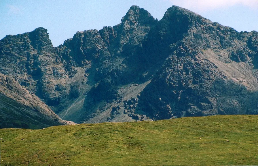
Sgùrr Alasdair A' chachaileith · Public domain -
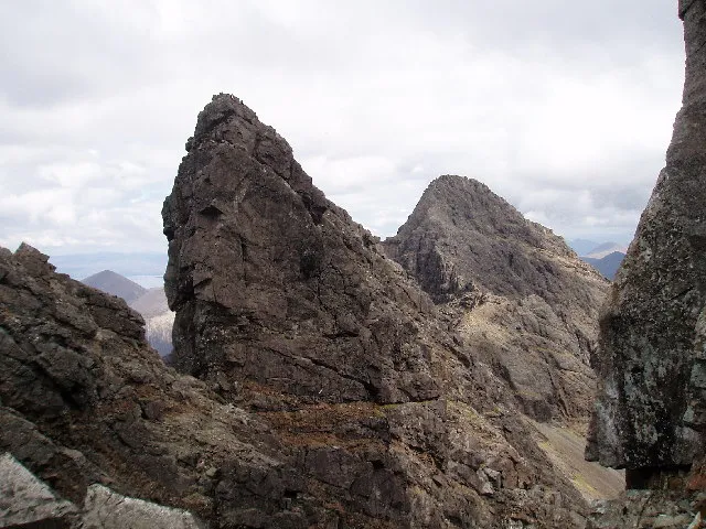
Am Basteir Photo taken by Ian Thomas · CC BY-SA 2.0


Climate of Beinn na Gaoithe
This month · November
A wet month
Day 7° · Night 3° · Rain 249 mm
- Hottest month
- July (day 15°)
- Coldest month
- February (night 0°)
- Wettest month
- November (249 mm)
- Driest month
- May (100 mm)
Bars: average monthly low and high temperature. Below: precipitation. Monthly averages for 1970–2000 at about 18 km resolution, adjusted for elevation. Highlighted months are mild and relatively dry. Source: WorldClim 2.1 (CC BY 4.0).
Show values as a table
| Month | Jan | Feb | Mar | Apr | May | Jun | Jul | Aug | Sep | Oct | Nov | Dec |
|---|---|---|---|---|---|---|---|---|---|---|---|---|
| Average high (°C) | 5° | 4° | 6° | 8° | 11° | 13° | 15° | 15° | 13° | 10° | 7° | 5° |
| Average low (°C) | 1° | 0° | 1° | 2° | 5° | 8° | 10° | 10° | 8° | 5° | 3° | 1° |
| Precipitation (mm) | 228 | 147 | 187 | 111 | 100 | 114 | 124 | 142 | 217 | 241 | 249 | 237 |
How to get to Beinn na Gaoithe
The nearest airport is Benbecula Airport (BEB), 72 km to the west as the crow flies. The nearest large city is Glasgow, 199 km to the southeast.
Airports
- Benbecula Airport (BEB) Balivanich 72 kmwest
- Barra Airport (BRR) Eoligarry 78 kmwest
- Tiree Airport (TRE) Balemartine, Argyll and Bute 95 kmsouthwest
Nearby large cities
- Glasgow Population: 626.4K 199 kmsoutheast
- Dundee Population: 148.2K 218 kmsoutheast
- Edinburgh Population: 515K 238 kmsoutheast
- Aberdeen Population: 198.6K 250 kmeast
- Belfast Population: 348K 299 kmsouth
Straight-line distances; road distances are longer. Airport data: OurAirports.
Day trips from Beinn na Gaoithe
Within 100 km: 36 historic and cultural sites, 3,193 natural sites, 1,465 lakes, rivers and coasts.
0–25 km291 places
- Isle of Skye Island 3 kmN
- Island of Raasay Island 16 kmNE
- Scalpay Island 15 kmE
- Wiay Island Island 17 kmW
25–60 km1,203 places
- Hebrides Island 49 kmSW
- Eigg Island 42 kmS
- The Coral Beaches Beach 35 kmNW
- Clett Island 37 kmNW
60–100 km3,200 places
- Isle of Harris Natural site 77 kmNW
- Isle of Barra Beach Beach 85 kmSW
- Scalpay Island 71 kmN
- Oronsay Island 71 kmS
Straight-line distances.
Nearest towns and villages


Nearby attractions & nature
Everything nearby-
Beinn Bhreac Mountain, Highland1.1 km W
-
Am Mam Mountain, Highland1.3 km S
-
Leathad na Steisig Mountain, Highland1.6 km NE
-
Sron a' Ghrobhain Mountain, Highland2 km NW
-
Am Basteir Mountain, Highland3.6 km SE
-
Glen Drynoch Natural site, Highland2.9 km N
-
Sgùrr nan Gillean Mountain, Highland3.9 km SE
-
Isle of Skye Island, Highland2.9 km N
More nature in United Kingdom
-
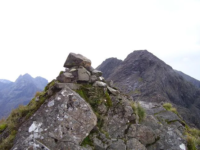 Sgurr a' Mhadaidh Mountain, Highland5 km S
-
Beinn a' Bhraghad Mountain, Highland5 km SW
-
Glen Sligachan Natural site, Highland5 km SE
-
Sgurr a' Bhasteir Mountain, Highland3.1 km SE
-
Bruach na Frithe Mountain, Highland3.5 km SE
-
Basteir Tooth Mountain, Highland3.6 km SE
Sources & licences
Data last updated: