- Elevation
- 676 m
- above sea level
- Local time
- UTC+00:00
- Europe/London · UTC+00:00
- Airports
- INV Inverness Airport87 km
- SYY Stornoway Airport93 km
About Beinn na h-Eaglaise South Top
Beinn na h-Eaglaise South Top is a mountain. Location: Highland, Scotland. Elevation: 676 m. The nearest airport is Inverness Airport (87 km). Nearby sights include Beinn na h-Eaglaise and Beinn Damh.
Photos of Beinn na h-Eaglaise South Top
-
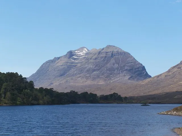
Liathach Roddy Smith · CC BY-SA 2.0 -
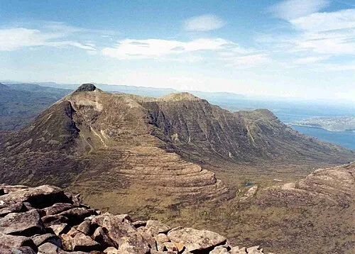
Beinn Damh Mick Knapton at English Wikipedia · CC BY-SA 3.0 -
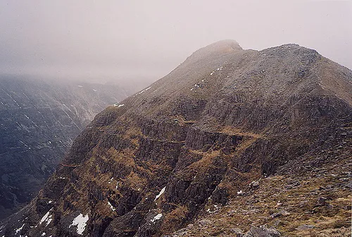
Spidean a Choire Leith Michael Woodhead · CC BY-SA 2.0 -
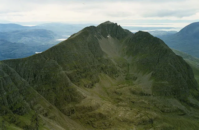
Mullach an Rathain East Top Nigel Brown · CC BY-SA 2.0 -
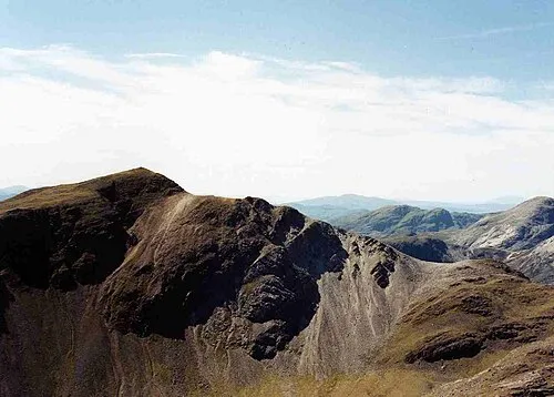
Sgorr Ruadh Mick Knapton at English Wikipedia · CC BY-SA 3.0


Climate of Beinn na h-Eaglaise South Top
This month · November
A wet month
Day 5° · Night 0° · Rain 285 mm
- Hottest month
- July (day 14°)
- Coldest month
- December (night -2°)
- Wettest month
- November (285 mm)
- Driest month
- May (113 mm)
Bars: average monthly low and high temperature. Below: precipitation. Monthly averages for 1970–2000 at about 18 km resolution, adjusted for elevation. Highlighted months are mild and relatively dry. Source: WorldClim 2.1 (CC BY 4.0).
Show values as a table
| Month | Jan | Feb | Mar | Apr | May | Jun | Jul | Aug | Sep | Oct | Nov | Dec |
|---|---|---|---|---|---|---|---|---|---|---|---|---|
| Average high (°C) | 3° | 3° | 5° | 7° | 10° | 12° | 14° | 14° | 12° | 8° | 5° | 3° |
| Average low (°C) | -2° | -2° | -1° | 0° | 2° | 5° | 7° | 7° | 5° | 3° | 0° | -2° |
| Precipitation (mm) | 279 | 188 | 235 | 130 | 113 | 125 | 138 | 159 | 234 | 266 | 285 | 278 |
How to get to Beinn na h-Eaglaise South Top
The nearest airport is Inverness Airport (INV), 87 km to the east as the crow flies. The nearest large city is Dundee, 192 km to the southeast.
Airports
- Inverness Airport (INV) Inverness, Highland 87 kmeast
- Stornoway Airport (SYY) Stornoway, Western Isles 93 kmnorthwest
- Benbecula Airport (BEB) Balivanich 112 kmwest
Nearby large cities
- Dundee Population: 148.2K 192 kmsoutheast
- Glasgow Population: 626.4K 198 kmsoutheast
- Aberdeen Population: 198.6K 209 kmeast
- Edinburgh Population: 515K 223 kmsoutheast
- Belfast Population: 348K 325 kmsouth
Straight-line distances; road distances are longer. Airport data: OurAirports.
Day trips from Beinn na h-Eaglaise South Top
Within 100 km: 36 historic and cultural sites, 4,094 natural sites, 1,168 lakes, rivers and coasts.
0–25 km479 places
- Eilean Sùbhainn Island 21 kmN
- Eilean Ruairidh Mòr Island 21 kmN
- An Garbh-eilean Island 18 kmSW
- Kishorn Island Island 17 kmSW
25–60 km1,780 places
- Isle of Skye Island 51 kmSW
- Island of Raasay Island 37 kmW
- Scalpay Island 38 kmSW
- Eilean a' Char Island 57 kmN
60–100 km3,039 places
- Hebrides Island 99 kmSW
- Isle of Harris Natural site 89 kmNW
- Eigg Island 79 kmSW
- The Coral Beaches Beach 68 kmW
Straight-line distances.
Nearest towns and villages
-
Torridon Village, Highland4.8 km N
-
 Lochcarron Village, Highland12 km S
-
 Inveralligin Village, Highland8.5 km NW
-
 Shieldaig Village, Highland9.3 km W
-
 Strathcarron Village, Highland10 km SE
-
New Kelso Village, Highland8.8 km S
Nearby attractions & nature
Everything nearby-
Beinn na h-Eaglaise Mountain, Highland0.6 km NE
-
Beinn Damh Mountain, Highland2.1 km SW
-
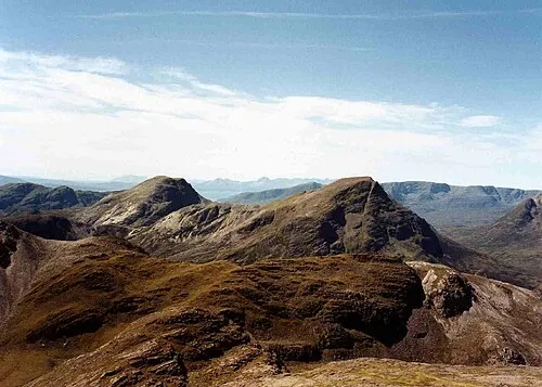 Maol Chean-dearg Mountain, Highland2.6 km SE
-
Meall Dubh na Drochaid Mountain, Highland1.5 km SW
-
Creagan Dubh Toll nam Biast Mountain, Highland2.1 km SW
-
Meall a' Chuail Mountain, Highland2.2 km E
-
Spidean Toll nam Biast Mountain, Highland2.2 km SW
-
Loch an Eoin Lake, Highland1.9 km E
More nature in United Kingdom
-
Sgorr Ruadh Mountain, Highland5.5 km E
-
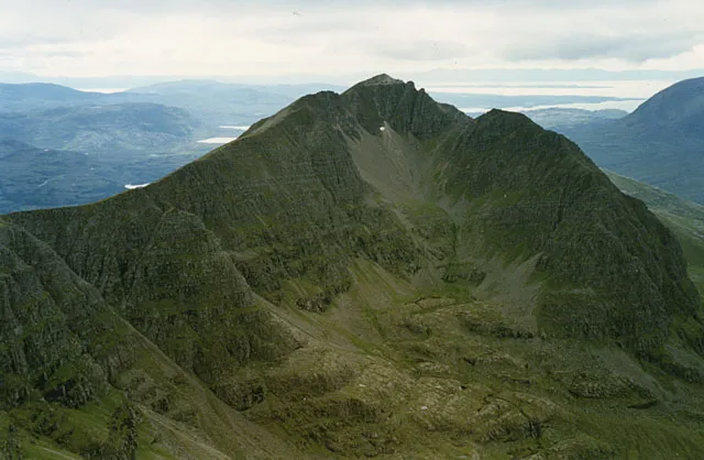 Liathach - Mullach an Rathain Mountain, Highland5.9 km N
-
Liathach Mountain, Highland6.6 km N
-
Spidean a Choire Leith Mountain, Highland6.6 km N
-
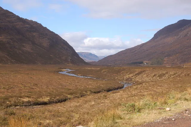 Glen Torridon Natural site, Highland5.5 km NE
-
Meall Gorm Mountain, Highland3.2 km W
Sources & licences
Data last updated: