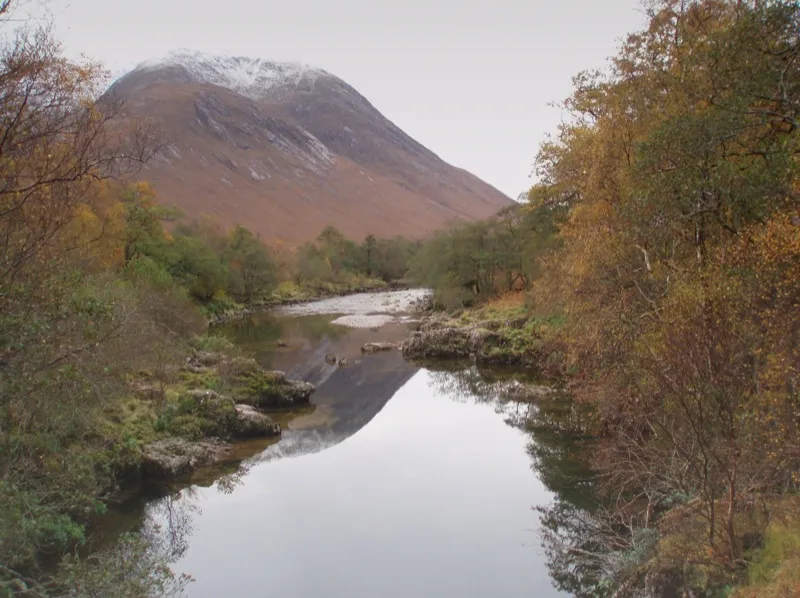
- Elevation
- 1,080 m
- above sea level
- Local time
- UTC+00:00
- Europe/London · UTC+00:00
- Airports
- GLA Glasgow Airport84 km
- TRE Tiree Airport112 km
About Ben Starav
Ben Starav is a mountain. Location: Highland, Scotland. Elevation: 1,080 m.
Ben Starav (Scottish Gaelic: Beinn Starabh) is a mountain in the Lorn region of Argyll, in the Scottish Highlands. It is a Munro that rises 1,078 metres (3,537 ft) above Loch Etive (a sea loch) at its western foot. Its peak is surrounded by several ridges, steep corries and waterfalls. It is the highest in a group of mountains that includes Glas Bheinn Mhòr, Beinn nan Aighenan and Stob Coir' an Albannaich.
Read more on Wikipedia Text: Wikipedia contributors · CC BY-SA 4.0 · shortened
At a glance
- Topographic prominence
- 446 m
Source: Wikidata
In comparison
- No. 118 of 18223 mountains in United Kingdom by elevation
- 65 sights and natural places within 10 km Stob Coire Dheirg (1984-1990 position), Stob Coire Dheirg
Climate of Ben Starav
Bars: average monthly low and high temperature. Below: precipitation. Monthly averages for 1970–2000 at about 18 km resolution, adjusted for elevation. Highlighted months are mild and relatively dry. Source: WorldClim 2.1 (CC BY 4.0).
Show values as a table
| Month | Jan | Feb | Mar | Apr | May | Jun | Jul | Aug | Sep | Oct | Nov | Dec |
|---|---|---|---|---|---|---|---|---|---|---|---|---|
| Average high (°C) | 0° | 0° | 2° | 5° | 8° | 10° | 11° | 11° | 9° | 5° | 2° | 0° |
| Average low (°C) | -4° | -4° | -4° | -2° | 0° | 3° | 5° | 5° | 3° | 1° | -2° | -4° |
| Precipitation (mm) | 277 | 181 | 215 | 122 | 111 | 113 | 132 | 157 | 216 | 246 | 255 | 262 |
Airports nearest to Ben Starav
- Glasgow Airport (GLA) Glasgow 84 km
- Tiree Airport (TRE) Balemartine, Argyll and Bute 112 km
- Glasgow Prestwick Airport (PIK) Prestwick, South Ayrshire 119 km
Straight-line distance; airports with scheduled flights only. Source: OurAirports (public domain).
Nearest towns and villages
-
Glenceitlein Village, Highland5.5 km N
-
Ardmaddy Village, Argyll and Bute6 km SW
-
Dail Village, Argyll and Bute7.6 km SW
-
Cadderlie Village, Argyll and Bute8.4 km SW
-
Dalness Village, Highland9.6 km NE
-
Ballachulish Village, Highland16 km N
Nearby attractions & nature
Everything nearby-
Stob Coire Dheirg (1984-1990 position) Mountain, Argyll and Bute0.4 km SE
-
Stob Coire Dheirg Mountain, Highland0.6 km E
-
Meall Cruidh Mountain, Argyll and Bute1.2 km S
-
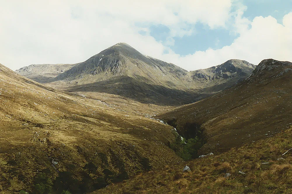 Glas Bheinn Mhor Mountain, Argyll and Bute2.8 km E
-
Stob an Duine Ruaidh Mountain, Argyll and Bute1.8 km S
-
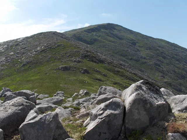 Beinn nan Aighenan Mountain, Argyll and Bute3.2 km SE
-
Meall nan Tri Tighearnan Mountain, Argyll and Bute2 km E
-
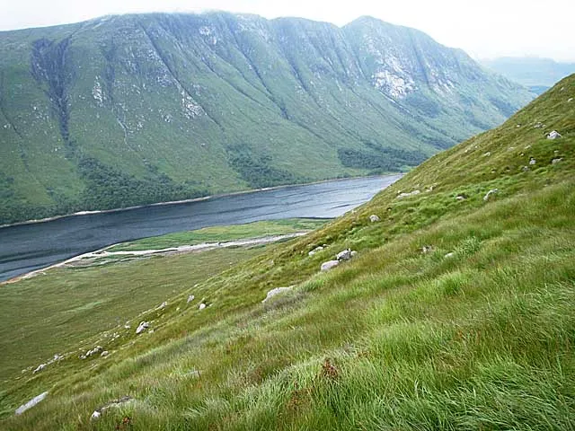 Beinn Trilleachan Mountain, Argyll and Bute4.1 km W
More nature in United Kingdom
-
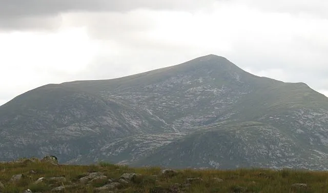 Stob Coir' an Albannaich Mountain, Highland4.7 km NE
-
Trilleachan Slabs Mountain, Highland3.5 km NW
-
Glen Etive Natural site, Highland3.1 km N
-
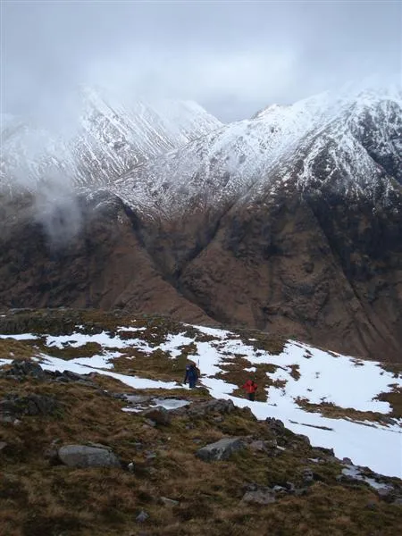 Beinn Ceitlein Mountain, Highland7.8 km NE
-
Creag Dhubh Mountain, Highland4.3 km N
-
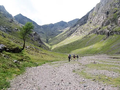 Stob Coire Sgreamhach Mountain, Highland11 km N
Sources & licences
Data last updated: · 2 independent sources