Bonnavoulin
Located in Highland, Scotland Coordinates: 56°36′00″ N 5°58′00″ W
- Elevation
- 96 m
- above sea level
- Local time
- UTC+00:00
- Europe/London · UTC+00:00
About Bonnavoulin
Bonnavoulin is a village. Location: Highland, Scotland. Elevation: 96 m.
Bonnavoulin or Bunavullin (Scottish Gaelic: Bun a Mhuilinn) is a village on the Morvern peninsula in the Highlands of Scotland. Situated at the northern terminus of the B849, it is about 10 miles (16 kilometres) from Lochaline and on the eastern shore of the Sound of Mull opposite the isle of Mull and is in the Highland Council area.
Read more on Wikipedia Text: Wikipedia contributors · CC BY-SA 4.0 · shortened
In comparison
- Nearest larger town: Tobermory, 7 km W
- 64 sights and natural places within 10 km Beinn Bhuidhe, Cnap a' Chailbhe
Airports nearest to Bonnavoulin
- Tiree Airport (TRE) Balemartine, Argyll and Bute 57 km
- Barra Airport (BRR) Eoligarry 102 km
- Islay Airport (ILY) Isle of Islay, Argyll and Bute 104 km
Straight-line distance; airports with scheduled flights only. Source: OurAirports (public domain).
Nearby attractions & nature
Everything nearby-
Beinn Bhuidhe Mountain, Highland3.5 km E
-
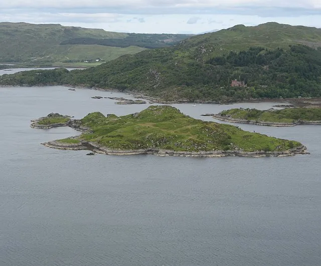 Risga Island, Highland8.8 km NE
-
Killundine River River, Highland4.2 km SE
-
Eilean Uillne Island, Highland4.7 km NW
-
Cnap a' Chailbhe Island, Argyll and Bute4.2 km W
-
Beinn an t-Sruthain Mountain, Highland4.9 km SE
Sources & licences
Data last updated: · 2 independent sources