- Local time
- UTC+00:00
- Europe/London · UTC+00:00
- Elevation
- 68 m
- above sea level
- Airports
- SYY Stornoway Airport90 km
- WIC Wick John O'Groats Airport113 km
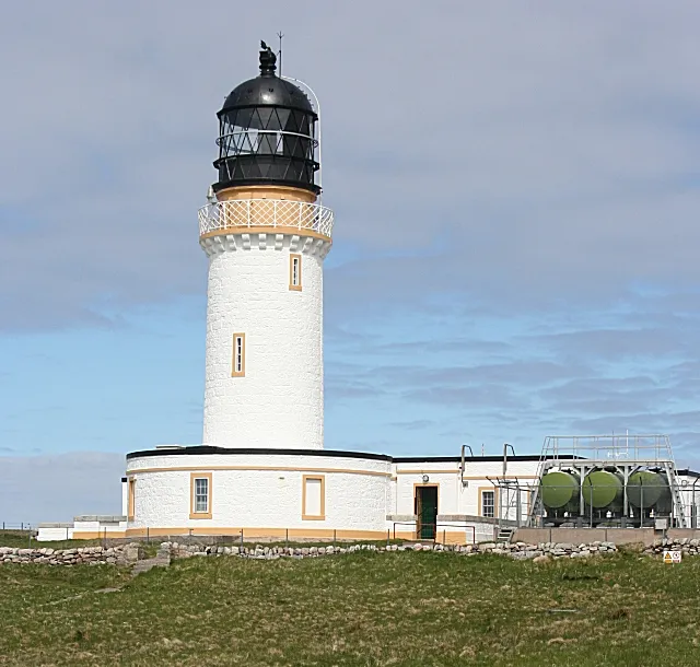
About Cape Wrath Lighthouse
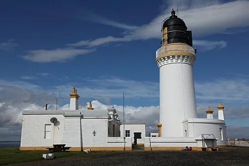
Cape Wrath Lighthouse is a landmark. Location: Highland, Scotland.
Cape Wrath Lighthouse at Cape Wrath was built in 1828 by Robert Stevenson and was staffed until 1998, when it was converted to automatic operation by the Northern Lighthouse Board. It is located at the most North-Westerly point on the British mainland, in the traditional county of Sutherland within Highland Region. Durness is the closest village, 10 miles (16 km) to the south-east with Inverness around 120 miles (190 km) to the south.
Source: Wikipedia · CC BY-SA 4.0
At a glance
- Built
- 1828
- Architect
- Robert Stevenson
- Heritage designation
- category A listed building
- Height
- 20 m
Source: Wikidata
Photos of Cape Wrath Lighthouse
-

Ruben Holthuijsen · CC BY 2.0 -

Ruben Holthuijsen · CC BY 2.0 -

Yottanesia · CC BY 3.0 -

Mike Dunn · CC BY-SA 2.0 -

Kognos · CC BY-SA 4.0


Climate of Cape Wrath Lighthouse
Best months for sightseeingBest months for sightseeing: July.
This month · November
A wet month
Day 9° · Night 4° · Rain 162 mm
- Hottest month
- August (day 16°)
- Coldest month
- February (night 1°)
- Wettest month
- November (162 mm)
- Driest month
- May (67 mm)
Bars: average monthly low and high temperature. Below: precipitation. Monthly averages for 1970–2000 at about 18 km resolution, adjusted for elevation. Highlighted months are mild and relatively dry. Source: WorldClim 2.1 (CC BY 4.0).
Show values as a table
| Month | Jan | Feb | Mar | Apr | May | Jun | Jul | Aug | Sep | Oct | Nov | Dec |
|---|---|---|---|---|---|---|---|---|---|---|---|---|
| Average high (°C) | 6° | 6° | 8° | 10° | 13° | 15° | 16° | 16° | 14° | 12° | 9° | 6° |
| Average low (°C) | 1° | 1° | 2° | 4° | 6° | 9° | 10° | 10° | 9° | 6° | 4° | 1° |
| Precipitation (mm) | 136 | 92 | 115 | 75 | 67 | 84 | 93 | 108 | 142 | 152 | 162 | 142 |
Other places to visit in this season: July
How to get to Cape Wrath Lighthouse
The nearest airport is Stornoway Airport (SYY), 90 km to the southwest as the crow flies. The nearest large city is Aberdeen, 238 km to the southeast.
Airports
- Stornoway Airport (SYY) Stornoway, Western Isles 90 kmsouthwest
- Wick John O'Groats Airport (WIC) Wick 113 kmeast
- Kirkwall Airport (KOI) Kirkwall, Orkney Islands 127 kmeast
Nearby large cities
- Aberdeen Population: 198.6K 238 kmsoutheast
- Dundee Population: 148.2K 269 kmsoutheast
- Glasgow Population: 626.4K 311 kmsouth
- Edinburgh Population: 515K 317 kmsouth
Straight-line distances; road distances are longer. Airport data: OurAirports.
Day trips from Cape Wrath Lighthouse
Within 100 km: 18 historic and cultural sites, 1,468 natural sites, 486 lakes, rivers and coasts.
0–25 km151 places
- Whale Islet Island 23 kmS
- Eilean Hoan Island 20 kmE
- Eilean Dubh Island 22 kmSE
- An Garbh-eilean Island 7 kmE
25–60 km723 places
- Eilean Dubh Island 36 kmS
- Soyea Island Island 57 kmS
- Eilean nan Ron Island 39 kmE
- Rabbit Islands Island 37 kmE
60–100 km1,098 places
- Clett Island 85 kmE
- Eilean a' Char Island 72 kmS
- Tannaraidh Island 100 kmSW
- Tabhaigh Mor Island 98 kmSW
Straight-line distances.
Nearby attractions & nature
Everything nearby-
Cape Wrath Natural site, Highland0.1 km NE
-
Dunan Mor Stack Mountain, Highland0.6 km SE
-
Dunan Mor Mountain, Highland0.7 km S
-
Geodha Glas Stack Mountain, Highland0.8 km SE
-
Stac an Dunain Mountain, Scotland0.4 km W
-
Geodha Glas Head Mountain, Highland1.1 km SE
-
Am Bodach Mountain, Scotland1.6 km SW
-
Dunan Beag Mountain, Highland2.5 km S
Nearest towns and villages
More sights in Highland
-
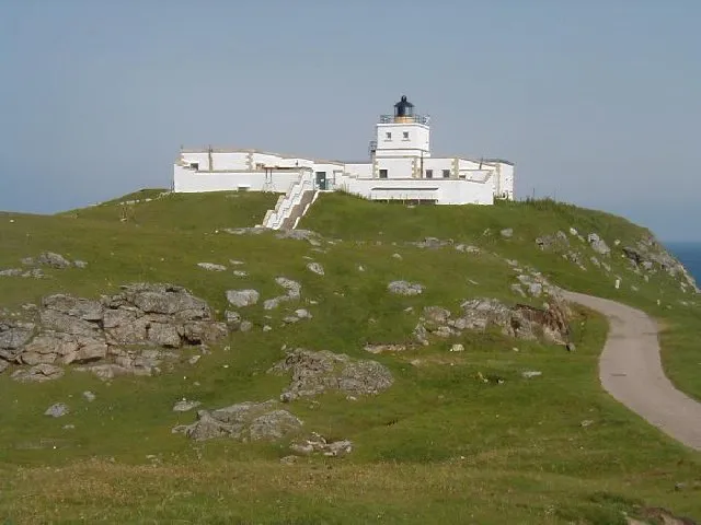 Strathy Point Lighthouse Landmark, Highland57 km E
-
Dùn Dornaigil Historic site, Highland36 km SE
-
Caisteal Bharraich Historic site, Highland37 km SE
-
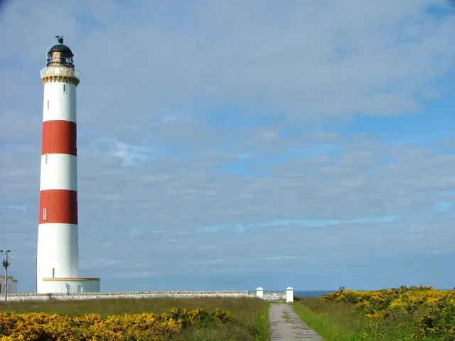 Tarbat Ness Lighthouse Landmark, Highland111 km SE
-
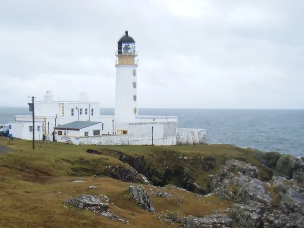 Rubha Reidh Lighthouse Landmark, Highland98 km SW
-
 Noss Head Lighthouse Landmark, Highland115 km E
Sources & licences
Data last updated: · 2 independent sources