Carn Ghluasaid
Located in Highland, Scotland Coordinates: 57°09′58″ N 5°04′07″ W
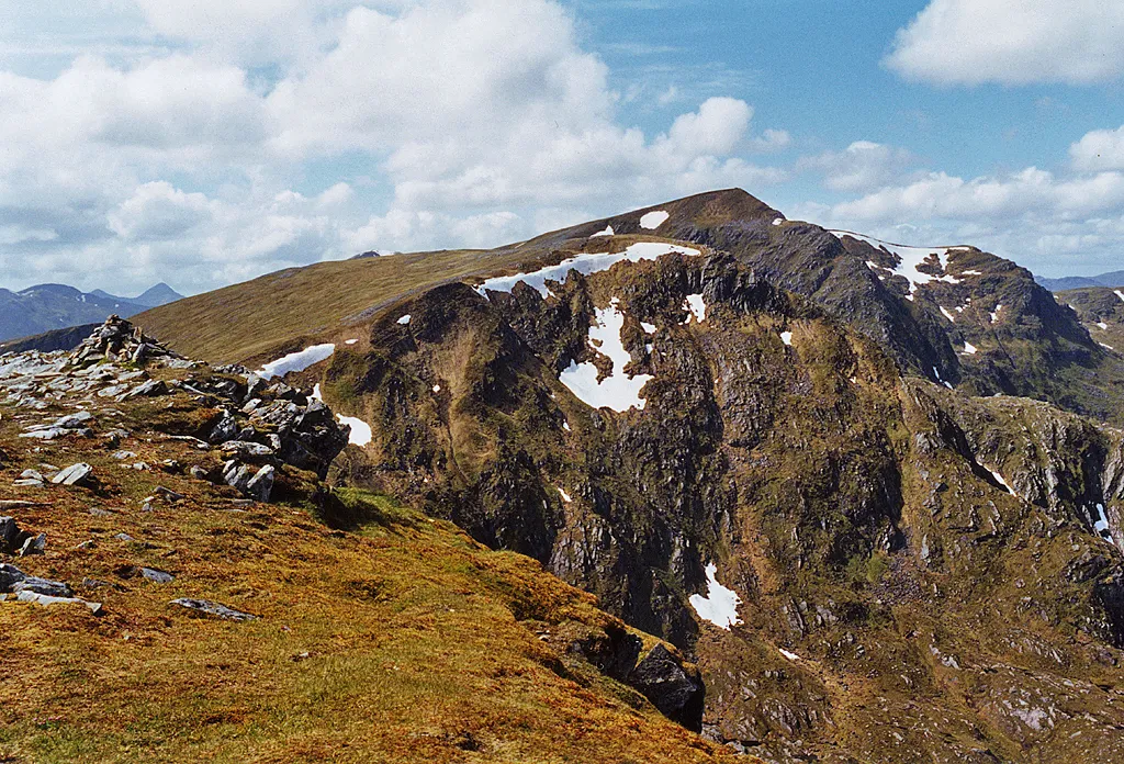
- Elevation
- 957 m
- above sea level
- Local time
- UTC+00:00
- Europe/London · UTC+00:00
About Carn Ghluasaid
Carn Ghluasaid is a mountain. Location: Highland, Scotland. Elevation: 957 m.
At a glance
- Topographic prominence
- 62 m
Source: Wikidata
In comparison
- No. 426 of 18223 mountains in United Kingdom by elevation
- 62 sights and natural places within 10 km Creag a' Chaorainn, Creag Lundie
Climate of Carn Ghluasaid
| Month | Jan | Feb | Mar | Apr | May | Jun | Jul | Aug | Sep | Oct | Nov | Dec |
|---|---|---|---|---|---|---|---|---|---|---|---|---|
| Average high (°C) | 1° | 1° | 3° | 5° | 9° | 11° | 13° | 12° | 10° | 6° | 3° | 1° |
| Average low (°C) | -4° | -4° | -4° | -2° | 0° | 3° | 5° | 5° | 3° | 1° | -2° | -4° |
| Precipitation (mm) | 303 | 199 | 248 | 124 | 109 | 117 | 133 | 156 | 231 | 260 | 283 | 295 |
Monthly averages for 1970–2000 at about 18 km resolution, adjusted for elevation. Highlighted months are mild and relatively dry. Source: WorldClim 2.1 (CC BY 4.0).
Airports nearest to Carn Ghluasaid
- Inverness Airport (INV) Inverness, Highland 74 km
- Tiree Airport (TRE) Balemartine, Argyll and Bute 133 km
- Stornoway Airport (SYY) Stornoway, Western Isles 139 km
Straight-line distance; airports with scheduled flights only. Source: OurAirports (public domain).
Nearest towns and villages
-
Athnamulloch Village, Highland9.5 km N
-
Alltbeath Village, Highland10 km NW
-
Tomdoun Village, Highland12 km S
-
Inchlaggan Village, Highland11 km S
-
Coille Mhorgil Village, Highland12 km S
-
Tomcrasky Village, Highland12 km E
Nearby attractions & nature
Everything nearby-
Creag a' Chaorainn Mountain, Highland1 km NW
-
Creag Lundie Mountain, Highland1.7 km SE
-
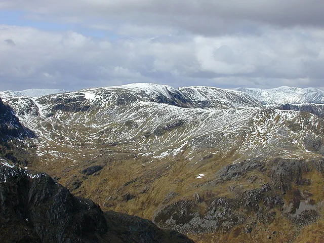 Sail Chaorainn Mountain, Highland3.1 km NW
-
Sgurr nan Conbhairean Mountain, Highland2.1 km NW
-
Strath Cluanie Natural site, Highland2.6 km S
-
Carn a' Mhadaidh-ruaidh Mountain, Highland2.2 km N
-
An Reithe Mountain, Highland2.5 km N
-
Creag Lundie South Top Mountain, Highland2.6 km S
More nature in United Kingdom
-
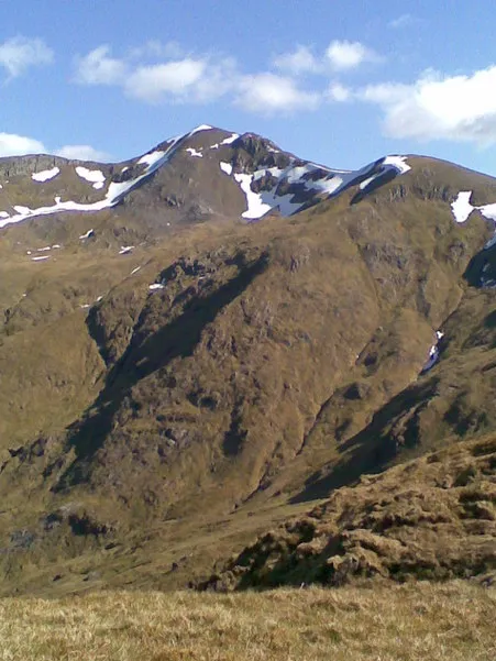 Mullach Fraoch-choire Mountain, Highland6.8 km NW
-
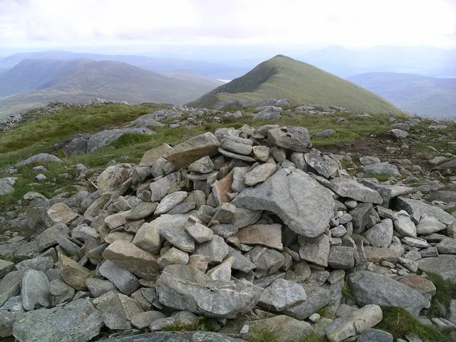 Druim Shionnach Mountain, Highland8.2 km SW
-
Drochaid an Tuill Easaich Mountain, Highland2.6 km W
-
Carn nam Feuaich Mountain, Highland3 km E
-
Carn na Coire Mheadhoin Mountain, Highland3.5 km N
-
Tigh Mor na Seilge Mountain, Highland4.1 km N
Sources & licences
Data last updated: · 2 independent sources