- Elevation
- 508 m
- above sea level
- Local time
- UTC+00:00
- Europe/London · UTC+00:00
- Airports
- INV Inverness Airport75 km
- TRE Tiree Airport132 km
About Creag Lundie
Creag Lundie is a mountain. Location: Highland, Scotland. Elevation: 508 m. The nearest airport is Inverness Airport (75 km). Nearby sights include Carn Ghluasaid and Creag Lundie South Top.
Photos of Creag Lundie
-
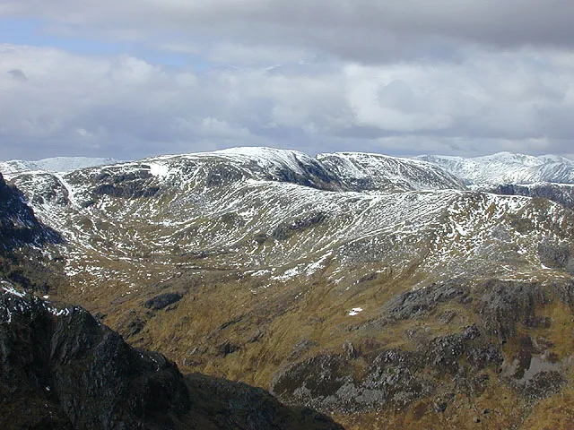
Sail Chaorainn Nigel Brown · CC BY-SA 2.0 -
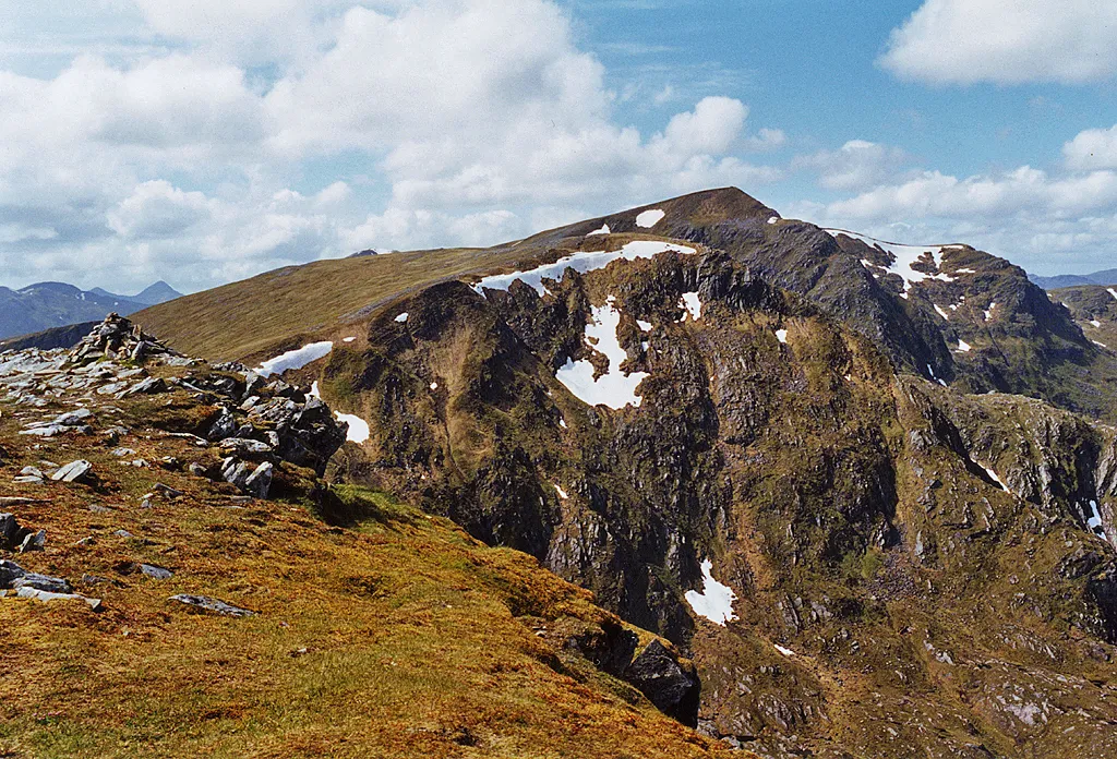
Carn Ghluasaid Nigel Brown · CC BY-SA 2.0


Climate of Creag Lundie
This month · November
A wet month
Day 6° · Night 1° · Rain 283 mm
- Hottest month
- July (day 15°)
- Coldest month
- February (night -2°)
- Wettest month
- January (303 mm)
- Driest month
- May (109 mm)
Bars: average monthly low and high temperature. Below: precipitation. Monthly averages for 1970–2000 at about 18 km resolution, adjusted for elevation. Highlighted months are mild and relatively dry. Source: WorldClim 2.1 (CC BY 4.0).
Show values as a table
| Month | Jan | Feb | Mar | Apr | May | Jun | Jul | Aug | Sep | Oct | Nov | Dec |
|---|---|---|---|---|---|---|---|---|---|---|---|---|
| Average high (°C) | 4° | 4° | 5° | 8° | 12° | 14° | 15° | 15° | 13° | 9° | 6° | 4° |
| Average low (°C) | -1° | -2° | -1° | 1° | 3° | 6° | 8° | 8° | 6° | 4° | 1° | -1° |
| Precipitation (mm) | 303 | 199 | 248 | 124 | 109 | 117 | 133 | 156 | 231 | 260 | 283 | 295 |
How to get to Creag Lundie
The nearest airport is Inverness Airport (INV), 75 km to the northeast as the crow flies. The nearest large city is Dundee, 148 km to the southeast.
Airports
- Inverness Airport (INV) Inverness, Highland 75 kmnortheast
- Tiree Airport (TRE) Balemartine, Argyll and Bute 132 kmsouthwest
- Stornoway Airport (SYY) Stornoway, Western Isles 141 kmnorthwest
Nearby large cities
- Dundee Population: 148.2K 148 kmsoutheast
- Glasgow Population: 626.4K 152 kmsouth
- Edinburgh Population: 515K 176 kmsoutheast
- Aberdeen Population: 198.6K 179 kmeast
- Belfast Population: 348K 290 kmsouth
Straight-line distances; road distances are longer. Airport data: OurAirports.
Day trips from Creag Lundie
Within 100 km: 42 historic and cultural sites, 4,710 natural sites, 1,120 lakes, rivers and coasts.
0–25 km456 places
- Eilean na h-Ealaidh Island 20 kmSE
- Eilean nan Sasunnach Island 16 kmSE
- Eilean na Cloinne Island 10 kmSE
- Eilean an Fheidh Island 12 kmSW
25–60 km2,073 places
- Scalpay Island 58 kmW
- Moy Island Island 55 kmNE
- Sandaig Islands Island 39 kmW
- Samalaman Island Island 57 kmSW
60–100 km3,343 places
- Isle of Skye Island 74 kmW
- Island of Raasay Island 66 kmNW
- Eigg Island 73 kmW
- Oronsay Island 76 kmSW
Straight-line distances.
Nearest towns and villages
-
Tomdoun Village, Highland10 km S
-
Inchlaggan Village, Highland9.6 km S
-
Coille Mhorgil Village, Highland11 km SW
-
Athnamulloch Village, Highland11 km N
-
 Invergarry Village, Highland18 km SE
-
Tomcrasky Village, Highland12 km E
Nearby attractions & nature
Everything nearby-
Carn Ghluasaid Mountain, Highland1.7 km NW
-
Creag Lundie South Top Mountain, Highland0.9 km S
-
Strath Cluanie Natural site, Highland1.6 km SW
-
Creag a' Chaorainn Mountain, Highland2.6 km NW
-
Carn nam Feuaich Mountain, Highland2.8 km NE
-
Beinn Loinne East Top Mountain, Highland3 km SE
-
Sail Chaorainn Mountain, Highland4.8 km NW
-
Sgurr nan Conbhairean Mountain, Highland3.6 km NW
More nature in United Kingdom
-
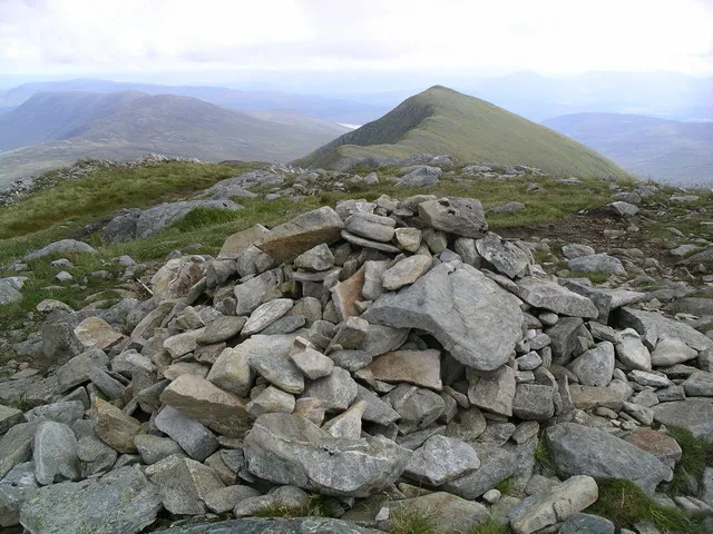 Druim Shionnach Mountain, Highland8.1 km W
-
Carn a' Mhadaidh-ruaidh Mountain, Highland3.9 km N
-
An Reithe Mountain, Highland3.9 km N
-
Drochaid an Tuill Easaich Mountain, Highland4 km NW
-
Carn na h-Ulach Mountain, Highland4.1 km SE
-
Meall Odhar Mountain, Highland5 km SE
Sources & licences
Data last updated: