- Elevation
- 993 m
- above sea level
- Local time
- UTC+00:00
- Europe/London · UTC+00:00
- Airports
- INV Inverness Airport62 km
- SYY Stornoway Airport123 km
About Carn nan Gobhar
Carn nan Gobhar is a mountain. Location: Highland, Scotland. Elevation: 993 m. The nearest airport is Inverness Airport (62 km). Nearby sights include Sgùrr na Lapaich and Creag a' Chaorainn.
Climate of Carn nan Gobhar
This month · November
A wet month
Day 3° · Night -2° · Rain 306 mm
- Hottest month
- July (day 12°)
- Coldest month
- December (night -4°)
- Wettest month
- January (318 mm)
- Driest month
- May (125 mm)
Bars: average monthly low and high temperature. Below: precipitation. Monthly averages for 1970–2000 at about 18 km resolution, adjusted for elevation. Highlighted months are mild and relatively dry. Source: WorldClim 2.1 (CC BY 4.0).
Show values as a table
| Month | Jan | Feb | Mar | Apr | May | Jun | Jul | Aug | Sep | Oct | Nov | Dec |
|---|---|---|---|---|---|---|---|---|---|---|---|---|
| Average high (°C) | 1° | 1° | 2° | 5° | 9° | 11° | 12° | 12° | 10° | 6° | 3° | 1° |
| Average low (°C) | -4° | -4° | -4° | -2° | 0° | 3° | 5° | 5° | 3° | 1° | -2° | -4° |
| Precipitation (mm) | 318 | 215 | 265 | 143 | 125 | 132 | 146 | 170 | 249 | 286 | 306 | 308 |
How to get to Carn nan Gobhar
The nearest airport is Inverness Airport (INV), 62 km to the east as the crow flies. The nearest large city is Dundee, 160 km to the southeast.
Airports
- Inverness Airport (INV) Inverness, Highland 62 kmeast
- Stornoway Airport (SYY) Stornoway, Western Isles 123 kmnorthwest
- Benbecula Airport (BEB) Balivanich 141 kmwest
Nearby large cities
- Dundee Population: 148.2K 160 kmsoutheast
- Glasgow Population: 626.4K 173 kmsouth
- Aberdeen Population: 198.6K 178 kmeast
- Edinburgh Population: 515K 193 kmsoutheast
- Belfast Population: 348K 313 kmsouth
Straight-line distances; road distances are longer. Airport data: OurAirports.
Day trips from Carn nan Gobhar
Within 100 km: 38 historic and cultural sites, 4,472 natural sites, 1,050 lakes, rivers and coasts.
0–25 km453 places
- Eilean nan Each Island 25 kmSE
- Eilean nan Greusaich Island 25 kmS
- Eilean a' Mhuillidh Island 10 kmNE
- Eilean Ach' Dùgraidh Island 25 kmSE
25–60 km2,005 places
- Scalpay Island 58 kmW
- Moy Island Island 37 kmNE
- Eilean Sùbhainn Island 46 kmNW
- Sandaig Islands Island 46 kmSW
60–100 km3,102 places
- Isle of Skye Island 74 kmW
- Island of Raasay Island 63 kmW
- Eigg Island 86 kmSW
- The Coral Beaches Beach 98 kmW
Straight-line distances.
Nearest towns and villages
Nearby attractions & nature
Everything nearby-
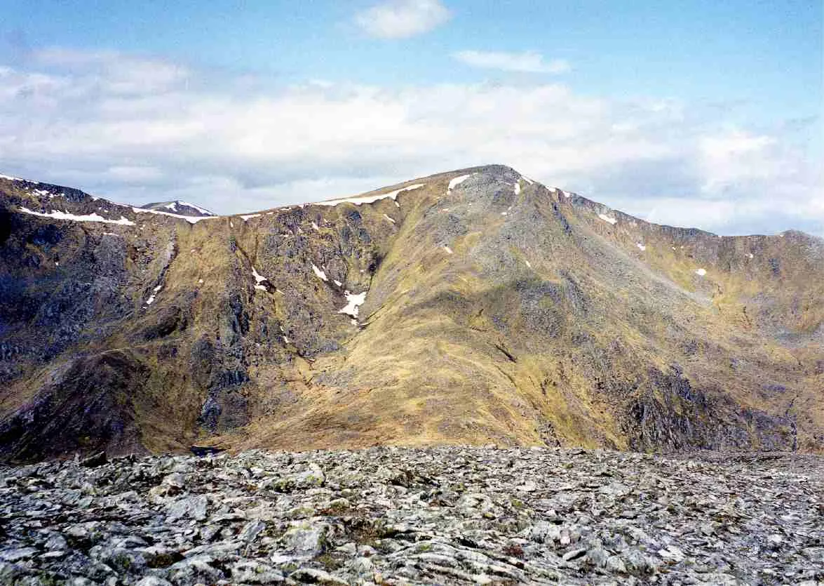 Sgùrr na Lapaich Mountain, Highland2.2 km W
-
Creag a' Chaorainn Mountain, Highland1.4 km SW
-
Mullach na Maoile Mountain, Highland1.8 km SE
-
Creag Dubh Mountain, Highland2 km NE
-
Sgurr nan Clachan Geala Mountain, Highland2 km W
-
Rubha na Spreidhe Mountain, Highland2.2 km NW
-
Braigh a' Choire Bhig Mountain, Highland2.6 km SW
-
Stob a' Choire Bhig Mountain, Highland2.7 km SW
More nature in United Kingdom
-
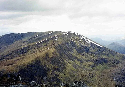 An Riabhachan Mountain, Highland4.8 km W
-
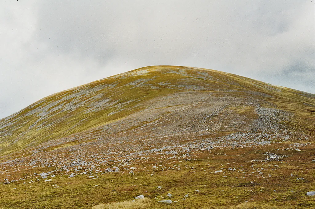 Toll Creagach Mountain, Highland6.2 km S
-
Carn na Seile Leithe Mountain, Highland2.9 km N
-
Mullach a' Ghlas-thuill Mountain, Highland3.1 km SW
-
Creag Feusag Mountain, Highland3.7 km E
-
Meallan Odhar Doire nan Gillean Mountain, Highland4.3 km NW
Sources & licences
Data last updated: