- Elevation
- 1,150 m
- above sea level
- Local time
- UTC+00:00
- Europe/London · UTC+00:00
- Airports
- INV Inverness Airport64 km
- SYY Stornoway Airport121 km
About Sgùrr na Lapaich
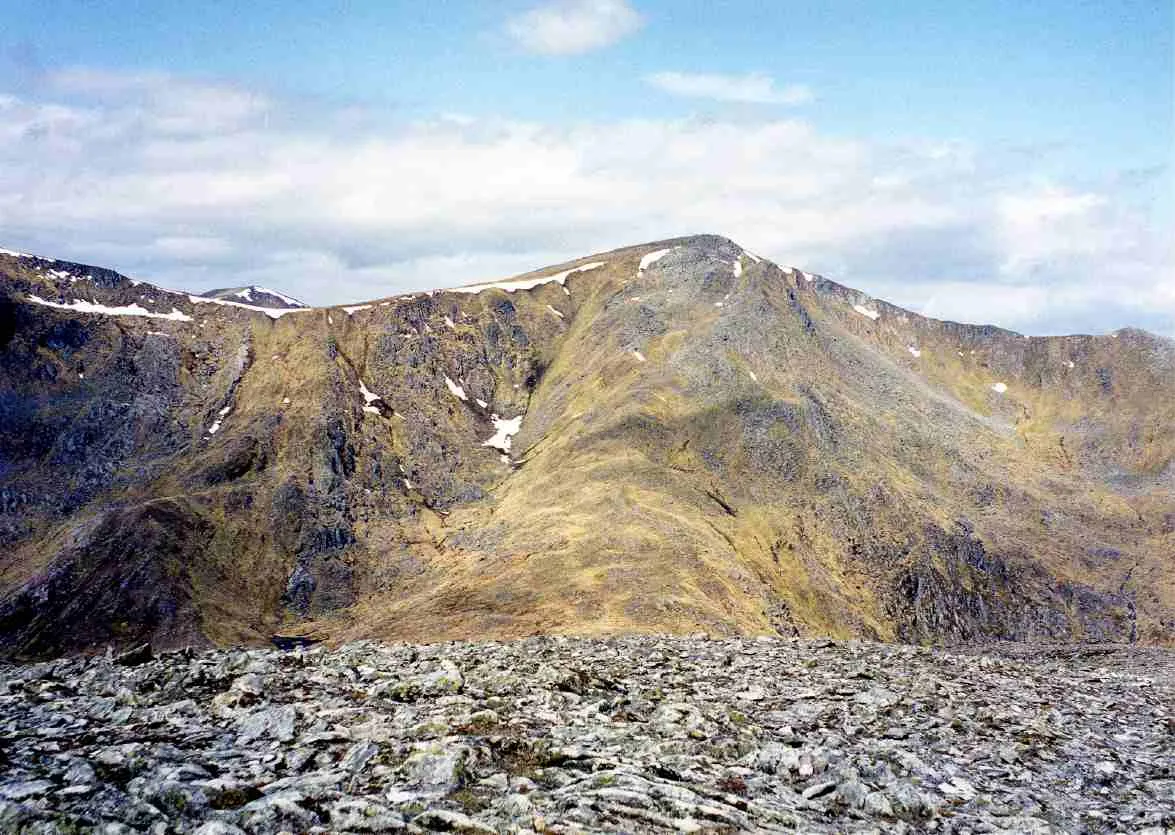
Sgùrr na Lapaich is a mountain. Location: Highland, Scotland. Elevation: 1,150 m.
Sgurr na Lapaich is a mountain in the Northwest Highlands of Scotland, situated north of Loch Mullardoch in the high ground that separates Glen Cannich and Glen Strathfarrar. The mountain reaches a height of 1,150 metres (3,773 feet), and is the fourth-highest mountain north of the Great Glen. There is no higher ground to the north of it in Great Britain. With a topographic prominence of 839 metres, Sgurr na Lapaich is the highest point for some considerable distance and is a fine viewpoint.
Source: Wikipedia · CC BY-SA 4.0
At a glance
- Topographic prominence
- 840 m
Source: Wikidata
Photos of Sgùrr na Lapaich
-

Charlie Marshall · CC BY 2.0 -

Graham Lewis · CC BY 2.0 -

Mick Knapton at English Wikipedia · CC BY-SA 3.0 -

Mick Knapton at English Wikipedia · CC BY-SA 3.0 -
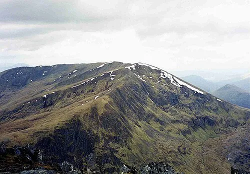
An Riabhachan Mick Knapton at English Wikipedia · CC BY-SA 3.0


Climate of Sgùrr na Lapaich
This month · November
A wet month
Day 2° · Night -3° · Rain 306 mm
- Hottest month
- July (day 11°)
- Coldest month
- December (night -5°)
- Wettest month
- January (318 mm)
- Driest month
- May (125 mm)
Bars: average monthly low and high temperature. Below: precipitation. Monthly averages for 1970–2000 at about 18 km resolution, adjusted for elevation. Highlighted months are mild and relatively dry. Source: WorldClim 2.1 (CC BY 4.0).
Show values as a table
| Month | Jan | Feb | Mar | Apr | May | Jun | Jul | Aug | Sep | Oct | Nov | Dec |
|---|---|---|---|---|---|---|---|---|---|---|---|---|
| Average high (°C) | 0° | 0° | 1° | 4° | 8° | 10° | 11° | 11° | 9° | 5° | 2° | 0° |
| Average low (°C) | -5° | -5° | -5° | -3° | -1° | 2° | 4° | 4° | 2° | -1° | -3° | -5° |
| Precipitation (mm) | 318 | 215 | 265 | 143 | 125 | 132 | 146 | 170 | 249 | 286 | 306 | 308 |
How to get to Sgùrr na Lapaich
The nearest airport is Inverness Airport (INV), 64 km to the east as the crow flies. The nearest large city is Dundee, 162 km to the southeast.
Airports
- Inverness Airport (INV) Inverness, Highland 64 kmeast
- Stornoway Airport (SYY) Stornoway, Western Isles 121 kmnorthwest
- Benbecula Airport (BEB) Balivanich 139 kmwest
Nearby large cities
- Dundee Population: 148.2K 162 kmsoutheast
- Glasgow Population: 626.4K 175 kmsouth
- Aberdeen Population: 198.6K 181 kmeast
- Edinburgh Population: 515K 195 kmsoutheast
- Belfast Population: 348K 313 kmsouth
Straight-line distances; road distances are longer. Airport data: OurAirports.
Day trips from Sgùrr na Lapaich
Within 100 km: 39 historic and cultural sites, 4,428 natural sites, 1,052 lakes, rivers and coasts.
0–25 km443 places
- Eilean a' Mhuillidh Island 12 kmE
- Eilean Dubhain Island 21 kmNW
- Eilean Mòr Island 20 kmNW
- Eilean Graimich Island 8 kmNE
25–60 km2,046 places
- Scalpay Island 56 kmW
- Moy Island Island 38 kmNE
- Eilean Tigh Island 59 kmW
- Eilean Sùbhainn Island 45 kmNW
60–100 km3,030 places
- Isle of Skye Island 72 kmW
- Island of Raasay Island 61 kmW
- Eigg Island 85 kmSW
- The Coral Beaches Beach 96 kmW
Straight-line distances.
Nearest towns and villages

Nearby attractions & nature
Everything nearby-
Rubha na Spreidhe Mountain, Highland0.6 km NE
-
Sgurr nan Clachan Geala Mountain, Highland0.8 km S
-
Creag a' Chaorainn Mountain, Highland1.5 km SE
-
An Riabhachan Mountain, Highland2.7 km W
-
Braigh a' Choire Bhig Mountain, Highland1.7 km S
-
Stob a' Choire Bhig Mountain, Highland2.1 km S
-
Carn nan Gobhar Mountain, Highland2.2 km E
-
An Riabhachan NE Top Mountain, Highland2.2 km W
More nature in United Kingdom
-
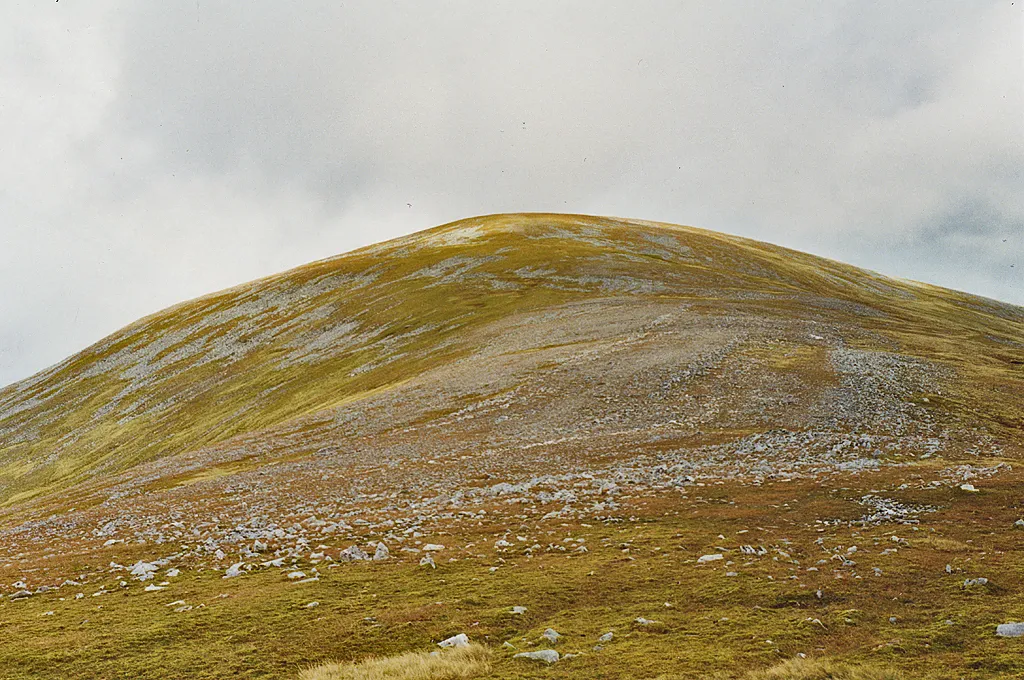 Toll Creagach Mountain, Highland7.6 km SE
-
Meallan Odhar Doire nan Gillean Mountain, Highland2.7 km N
-
Meallan Buidhe an Fheadain Mountain, Highland3.1 km NW
-
Mullach a' Ghlas-thuill Mountain, Highland3.2 km S
-
Carn na Seile Leithe Mountain, Highland3.3 km NE
-
Meallan Odhar Mountain, Highland3.4 km N
Sources & licences
Data last updated: · 2 independent sources