- Elevation
- 547 m
- above sea level
- Local time
- UTC+00:00
- Europe/London · UTC+00:00
- Airports
- INV Inverness Airport52 km
- DND Dundee Airport98 km
About Creag an Loin
Creag an Loin is a mountain. Location: Highland, Scotland. Elevation: 547 m. The best months to visit are July. The nearest airport is Inverness Airport (52 km). Nearby sights include Creag nan Abhag and Glac a' Chaise.
Photos of Creag an Loin
-
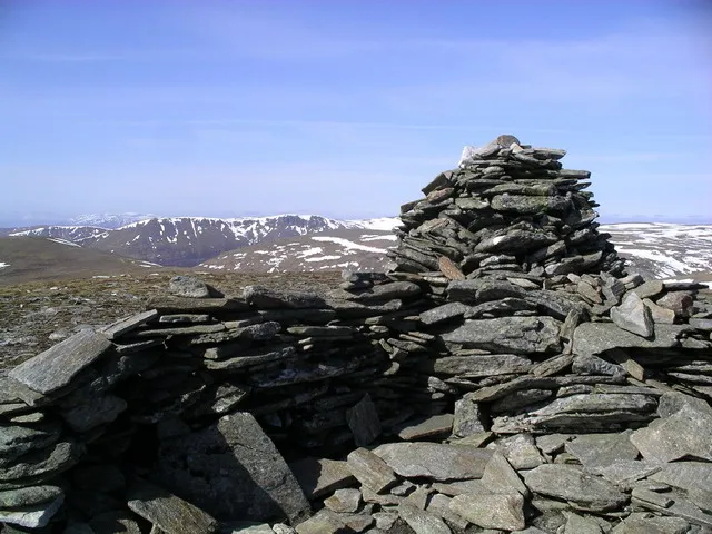
A' Chailleach Graham Ellis · CC BY-SA 2.0 -
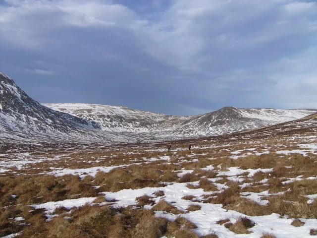
Carn Sgulain West Top Stovieneil · CC BY-SA 2.0 -
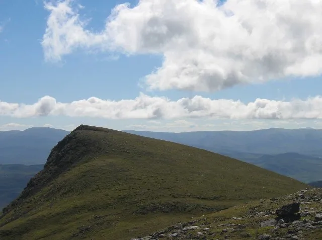
Carn Dearg Stuart Meek · CC BY-SA 2.0


Climate of Creag an Loin
Best months for sightseeingBest months for sightseeing: July.
This month · November
A wet month
Day 6° · Night 0° · Rain 159 mm
- Hottest month
- July (day 16°)
- Coldest month
- February (night -2°)
- Wettest month
- January (187 mm)
- Driest month
- April (77 mm)
Bars: average monthly low and high temperature. Below: precipitation. Monthly averages for 1970–2000 at about 18 km resolution, adjusted for elevation. Highlighted months are mild and relatively dry. Source: WorldClim 2.1 (CC BY 4.0).
Show values as a table
| Month | Jan | Feb | Mar | Apr | May | Jun | Jul | Aug | Sep | Oct | Nov | Dec |
|---|---|---|---|---|---|---|---|---|---|---|---|---|
| Average high (°C) | 3° | 3° | 5° | 8° | 12° | 14° | 16° | 15° | 13° | 9° | 6° | 4° |
| Average low (°C) | -2° | -2° | -1° | 0° | 3° | 6° | 8° | 7° | 5° | 3° | 0° | -2° |
| Precipitation (mm) | 187 | 119 | 138 | 77 | 84 | 82 | 87 | 100 | 133 | 155 | 159 | 161 |
Other places to visit in this season: July
How to get to Creag an Loin
The nearest airport is Inverness Airport (INV), 52 km to the north as the crow flies. For international flights: Aberdeen International Airport (ABZ) (119 km). The nearest large city is Dundee, 99 km to the southeast.
Airports
- Inverness Airport (INV) Inverness, Highland 52 kmnorth
- Dundee Airport (DND) Dundee 98 kmsoutheast
- Aberdeen International Airport (ABZ) Aberdeen 119 kmeast
Nearby large cities
- Dundee Population: 148.2K 99 kmsoutheast
- Aberdeen Population: 198.6K 125 kmeast
- Glasgow Population: 626.4K 136 kmsouth
- Edinburgh Population: 515K 139 kmsoutheast
- Newcastle upon Tyne Population: 300.1K 283 kmsoutheast
Straight-line distances; road distances are longer. Airport data: OurAirports.
Day trips from Creag an Loin
Within 100 km: 64 historic and cultural sites, 4,637 natural sites, 906 lakes, rivers and coasts.
0–25 km407 places
- Eilean an Righ Island 24 kmSW
- Eilean na Cluanaich Island 4 kmSE
- Eilean nan Con Island 24 kmSW
- Tom Dubh Island 14 kmE
25–60 km1,742 places
- Moy Island Island 57 kmNW
- Eilean Aigas Island 47 kmNW
- Eilean na h-Ealaidh Island 38 kmW
- Eilean nan Faoileag Island 35 kmN
60–100 km3,458 places
- Findlays Seat Mountain 79 kmNE
- Lossiemouth East Beach Beach 88 kmNE
- Eriska Island 98 kmSW
- Shuna Island Island 93 kmSW
Straight-line distances.
Nearest towns and villages
Nearby attractions & nature
Everything nearby-
Creag nan Abhag Mountain, Highland1.7 km W
-
Glac a' Chaise Mountain, Highland1.9 km W
-
A' Chailleach Mountain, Highland3.5 km NW
-
Creag na h-Iolaire Mountain, Highland2.7 km W
-
An Torr Mountain, Highland2.9 km S
-
Creag Liath Mountain, Highland3.3 km W
-
Carn Sgulain West Top Mountain, Highland5 km NW
-
Creag Dhubh Mountain, Highland3.7 km S
More nature in United Kingdom
-
Carn Dearg Mountain, Highland6.3 km W
-
Carn Coire na h-Inghinn Mountain, Highland4 km NE
-
Creag Mhor Mountain, Highland4.2 km NE
-
Ordan Shios Mountain, Highland4.5 km SE
-
Creagan Breugach Mountain, Highland4.7 km SE
-
Creag Shiaraidh Mountain, Highland5 km SW
Sources & licences
Data last updated: