- Elevation
- 776 m
- above sea level
- Local time
- UTC+00:00
- Europe/London · UTC+00:00
- Airports
- SYY Stornoway Airport80 km
- INV Inverness Airport91 km
About Glas Bheinn
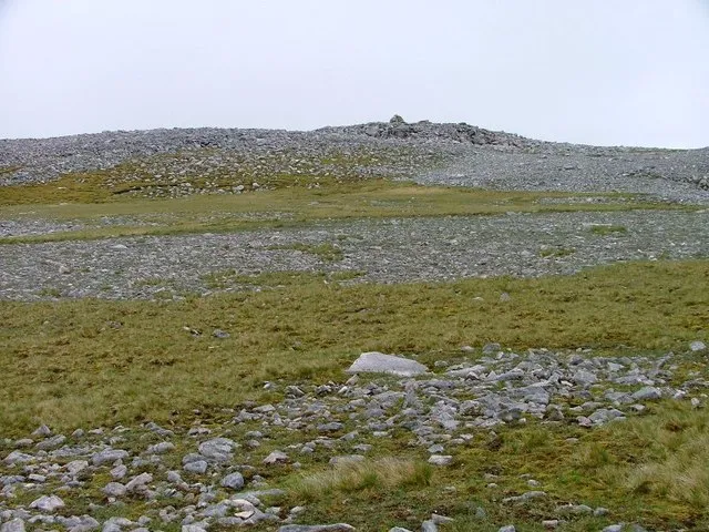
Glas Bheinn is a mountain. Location: Highland, Scotland. Elevation: 776 m.
Glas Bheinn (776 m) is a mountain in the Northwest Highlands of Scotland. It lies in the Assynt area of Sutherland, in the far north of the country. A steep and rugged mountain in its own right, Britain's highest waterfall, the Eas a' Chual Aluinn, falls from its slopes. Glas Bheinn lies between Ullapool and Durness.
Source: Wikipedia · CC BY-SA 4.0
Climate of Glas Bheinn
This month · November
A wet month
Day 4° · Night -1° · Rain 212 mm
- Hottest month
- July (day 12°)
- Coldest month
- December (night -4°)
- Wettest month
- November (212 mm)
- Driest month
- May (92 mm)
Bars: average monthly low and high temperature. Below: precipitation. Monthly averages for 1970–2000 at about 18 km resolution, adjusted for elevation. Highlighted months are mild and relatively dry. Source: WorldClim 2.1 (CC BY 4.0).
Show values as a table
| Month | Jan | Feb | Mar | Apr | May | Jun | Jul | Aug | Sep | Oct | Nov | Dec |
|---|---|---|---|---|---|---|---|---|---|---|---|---|
| Average high (°C) | 2° | 2° | 4° | 6° | 9° | 11° | 12° | 12° | 10° | 8° | 4° | 2° |
| Average low (°C) | -3° | -4° | -3° | -1° | 1° | 4° | 6° | 6° | 4° | 2° | -1° | -4° |
| Precipitation (mm) | 192 | 134 | 168 | 105 | 92 | 105 | 115 | 134 | 179 | 201 | 212 | 193 |
How to get to Glas Bheinn
The nearest airport is Stornoway Airport (SYY), 80 km to the west as the crow flies. The nearest large city is Aberdeen, 207 km to the southeast.
Airports
- Stornoway Airport (SYY) Stornoway, Western Isles 80 kmwest
- Inverness Airport (INV) Inverness, Highland 91 kmsoutheast
- Wick John O'Groats Airport (WIC) Wick 114 kmeast
Nearby large cities
- Aberdeen Population: 198.6K 207 kmsoutheast
- Dundee Population: 148.2K 226 kmsoutheast
- Glasgow Population: 626.4K 263 kmsouth
- Edinburgh Population: 515K 272 kmsoutheast
Straight-line distances; road distances are longer. Airport data: OurAirports.
Nearest towns and villages
-
Inchnadamph Village, Highland4.5 km S
-
Unapool Village, Highland4.8 km N
-
Loch Assynt Village, Highland6.5 km W
-
Stronchrubie Village, Highland7.3 km S
-
Kylesku Village, Highland7.5 km NW
-
Kylestrome Village, Highland8.9 km NW
Nearby attractions & nature
Everything nearby-
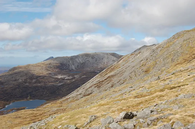 Beinn Uidhe Mountain, Highland3 km SE
-
Eadar a' Chalda Mountain, Highland2.3 km SW
-
Leitir Dhubh Mountain, Highland2.5 km NE
-
Cnoc na Creige Mountain, Highland2.5 km N
-
Cnoc an Lochain Fheoir Mountain, Highland3 km SW
-
Loch Beag Natural site, Highland2.9 km NE
-
Cnoc an Droighinn Mountain, Highland3.2 km SE
-
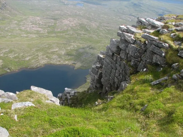 Quinag - Spidean Coinich Mountain, Highland5 km W
Sources & licences
Data last updated: · 2 independent sources