- Elevation
- 297 m
- above sea level
- Local time
- UTC+00:00
- Europe/London · UTC+00:00
- Airports
- INV Inverness Airport49 km
- DND Dundee Airport126 km
About Meall nan Aidhean
Meall nan Aidhean is a mountain. Location: Highland, Scotland. Elevation: 297 m. The best months to visit are July. The nearest airport is Inverness Airport (49 km). Nearby sights include Meall na Targaid and Tom a' Chliabhain.
Photos of Meall nan Aidhean
-
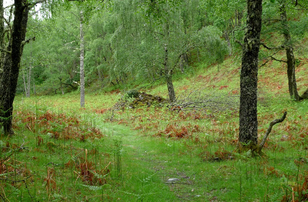
Glen Moriston Kendall K. Down · Public domain

Climate of Meall nan Aidhean
Best months for sightseeingBest months for sightseeing: July.
This month · November
A wet month
Day 7° · Night 1° · Rain 205 mm
- Hottest month
- July (day 17°)
- Coldest month
- February (night -1°)
- Wettest month
- January (226 mm)
- Driest month
- April (89 mm)
Bars: average monthly low and high temperature. Below: precipitation. Monthly averages for 1970–2000 at about 18 km resolution, adjusted for elevation. Highlighted months are mild and relatively dry. Source: WorldClim 2.1 (CC BY 4.0).
Show values as a table
| Month | Jan | Feb | Mar | Apr | May | Jun | Jul | Aug | Sep | Oct | Nov | Dec |
|---|---|---|---|---|---|---|---|---|---|---|---|---|
| Average high (°C) | 5° | 5° | 7° | 9° | 13° | 15° | 17° | 17° | 14° | 11° | 7° | 6° |
| Average low (°C) | 0° | -1° | 0° | 2° | 4° | 7° | 9° | 9° | 7° | 5° | 1° | 0° |
| Precipitation (mm) | 226 | 146 | 175 | 89 | 89 | 91 | 96 | 115 | 166 | 189 | 205 | 211 |
Other places to visit in this season: July
How to get to Meall nan Aidhean
The nearest airport is Inverness Airport (INV), 49 km to the northeast as the crow flies. For international flights: Aberdeen International Airport (ABZ) (143 km). The nearest large city is Dundee, 127 km to the southeast.
Airports
- Inverness Airport (INV) Inverness, Highland 49 kmnortheast
- Dundee Airport (DND) Dundee 126 kmsoutheast
- Aberdeen International Airport (ABZ) Aberdeen 143 kmeast
Nearby large cities
- Dundee Population: 148.2K 127 kmsoutheast
- Aberdeen Population: 198.6K 149 kmeast
- Glasgow Population: 626.4K 150 kmsouth
- Edinburgh Population: 515K 163 kmsoutheast
- Belfast Population: 348K 302 kmsouth
Straight-line distances; road distances are longer. Airport data: OurAirports.
Day trips from Meall nan Aidhean
Within 100 km: 52 historic and cultural sites, 4,867 natural sites, 1,043 lakes, rivers and coasts.
0–25 km450 places
- Eilean na h-Ealaidh Island 20 kmSW
- Bàn Eilean Island 6 kmSW
- Eilean nan Sasunnach Island 22 kmSW
- Eilean na Faoileige Island 19 kmSW
25–60 km1,740 places
- Moy Island Island 39 kmN
- Eilean Donan Island 59 kmW
- Eilean Aigas Island 26 kmN
- Eilean na Faoileig Island 56 kmN
60–100 km3,772 places
- Island of Raasay Island 93 kmW
- Findlays Seat Mountain 91 kmNE
- Lossiemouth East Beach Beach 96 kmNE
- Scalpay Island 86 kmW
Straight-line distances.
Nearest towns and villages
-
Stratherrick Village, Highland2.7 km SE
-
 Invermoriston Village, Highland3.7 km W
-
Whitebridge Village, Highland3.1 km E
-
Alltsigh Village, Highland3.8 km N
-
Portclair Village, Highland3.9 km SW
-
Foyers Village, Highland7.1 km NE
Nearby attractions & nature
Everything nearby-
Meall na Targaid Mountain, Highland0.8 km SE
-
Tom a' Chliabhain Mountain, Highland1.2 km E
-
Cnoc Loch na Sgorthaich Mountain, Highland1.3 km SW
-
Cnoc Loch Kemp Mountain, Highland1.5 km NE
-
Loch nan Lann Lake, Highland1.3 km W
-
Torr Paiteag Mountain, Highland1.9 km E
-
Knockie Lodge Hill Mountain, Highland1.9 km S
-
Loch Knockie Lake, Highland1.7 km E
Sources & licences
Data last updated: