Rois-bheinn
Located in Highland, Scotland Coordinates: 56°50′15″ N 5°40′49″ W
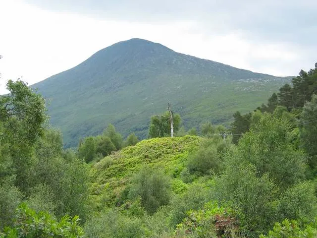
- Elevation
- 882 m
- above sea level
- Local time
- UTC+00:00
- Europe/London · UTC+00:00
About Rois-bheinn
Rois-bheinn is a mountain. Location: Highland, Scotland. Elevation: 882 m.
Rois-bheinn is the joint highest hill in the Scottish region of Moidart, a title it shares with its neighbour Beinn Odhar Bheag, whose summit has the same elevation. The mountain may be climbed by its west ridge from the small village of Roshven (a settlement that takes its name from a roughly phonetic spelling of Rois-bheinn's name), or from Inverailort to the north.
Read more on Wikipedia Text: Wikipedia contributors · CC BY-SA 4.0 · shortened
At a glance
- Topographic prominence
- 774 m
Source: Wikidata
In comparison
- No. 786 of 18223 mountains in United Kingdom by elevation
- 119 sights and natural places within 10 km Rois-Bheinn West Top, Sgurr na Ba Glaise
Airports nearest to Rois-bheinn
- Tiree Airport (TRE) Balemartine, Argyll and Bute 82 km
- Barra Airport (BRR) Eoligarry 109 km
- Benbecula Airport (BEB) Balivanich 124 km
Straight-line distance; airports with scheduled flights only. Source: OurAirports (public domain).
Nearest towns and villages
-
Roshven Village, Highland5.1 km W
-
Inverailort Village, Inverness-shire3.7 km N
-
Lochailort Village, Inverness-shire4.6 km N
-
Peanmeanach Village, Highland6.2 km NW
-
Polloch Village, Highland9.8 km SE
-
Kinlochmoidart Village, Highland7.2 km SW
Nearby attractions & nature
Everything nearby-
Rois-Bheinn West Top Mountain, Highland0.7 km W
-
Sgurr na Ba Glaise Mountain, Highland1.4 km E
-
Sgurr a' Mheadhain Mountain, Highland1.5 km SW
-
An Stac Mountain, Highland1.6 km NE
-
An t-Slat-bheinn Mountain, Highland2.3 km E
-
Sgurr Dhomhuill Beag Mountain, Highland2.5 km SW
-
Sgurr Dhomhuill Mor Mountain, Highland2.5 km SW
-
Alisary Hill Mountain, Highland2.5 km N
More nature in United Kingdom
-
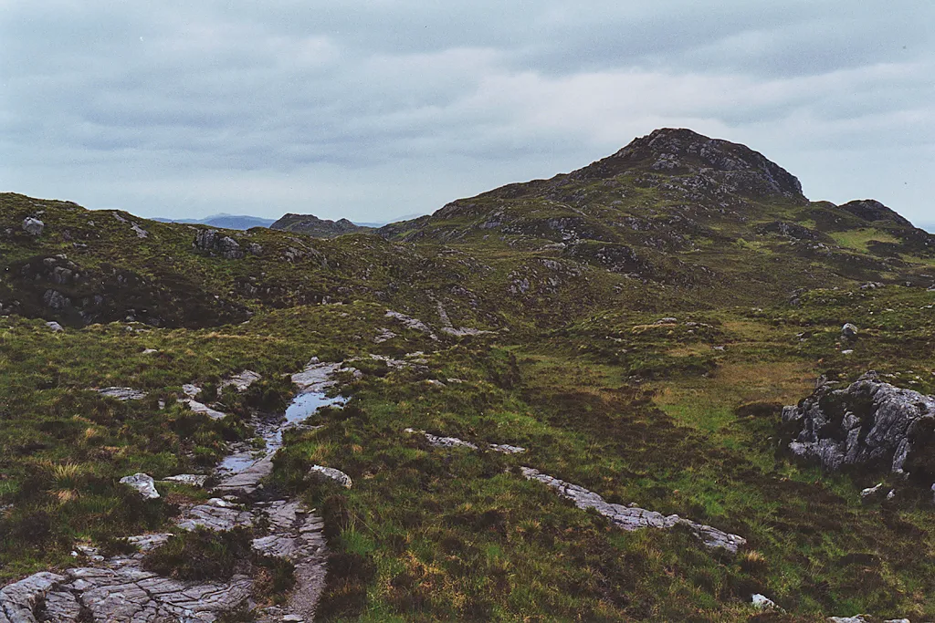 Ardnish Peninsula Natural site, Highland4.6 km NW
-
Seann Chruach Mountain, Highland2.6 km N
-
Creag Coire na Cloiche Mountain, Highland3 km SW
-
Creag Coire na Cloiche South Top Mountain, Highland3.3 km S
-
Druim Fiaclach Mountain, Highland3.8 km NE
-
Cruach an Aonaich Mountain, Highland3.8 km NW
Sources & licences
Data last updated: · 2 independent sources