Sheigra
Local name: Seigrea
Located in Highland, Scotland Coordinates: 58°29′41″ N 5°06′48″ W
- Elevation
- 27 m
- above sea level
- Local time
- UTC+00:00
- Europe/London · UTC+00:00
About Sheigra
Sheigra is a village. Location: Highland, Scotland. Elevation: 27 m.
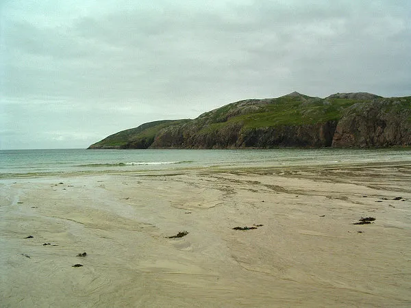
Sheigra or Shegra is a small holiday settlement on the east coast of the Tongue district of Sutherland in the Highland council area in Scotland. It is located 4 miles from Kinlochbervie and the B801 road and nearly 60 miles from Thurso and the A9 and 40 miles from Ullapool and the A835. The settlement consists mostly of lodges, holidays homes, beaches and campgrounds.
Read more on Wikipedia Text: Wikipedia contributors · CC BY-SA 4.0 · shortened
In comparison
- Nearest larger town: Durness, 23 km E
- 69 sights and natural places within 10 km Loch na Lerig, Na Stacain
Nearby attractions & nature
Everything nearby-
 Eilean an Ròin Mòr Island, Highland2.3 km SW
-
Loch na Lerig Lake, Highland0.6 km E
-
Na Stacain Mountain, Highland0.7 km SW
-
Cnoc an Staca Mountain, Highland0.7 km N
-
Allt a' Bhlair Mhoir River, Highland1.2 km SE
-
Loch Aisir Lake, Highland1.2 km E
Sources & licences
Data last updated: · 2 independent sources