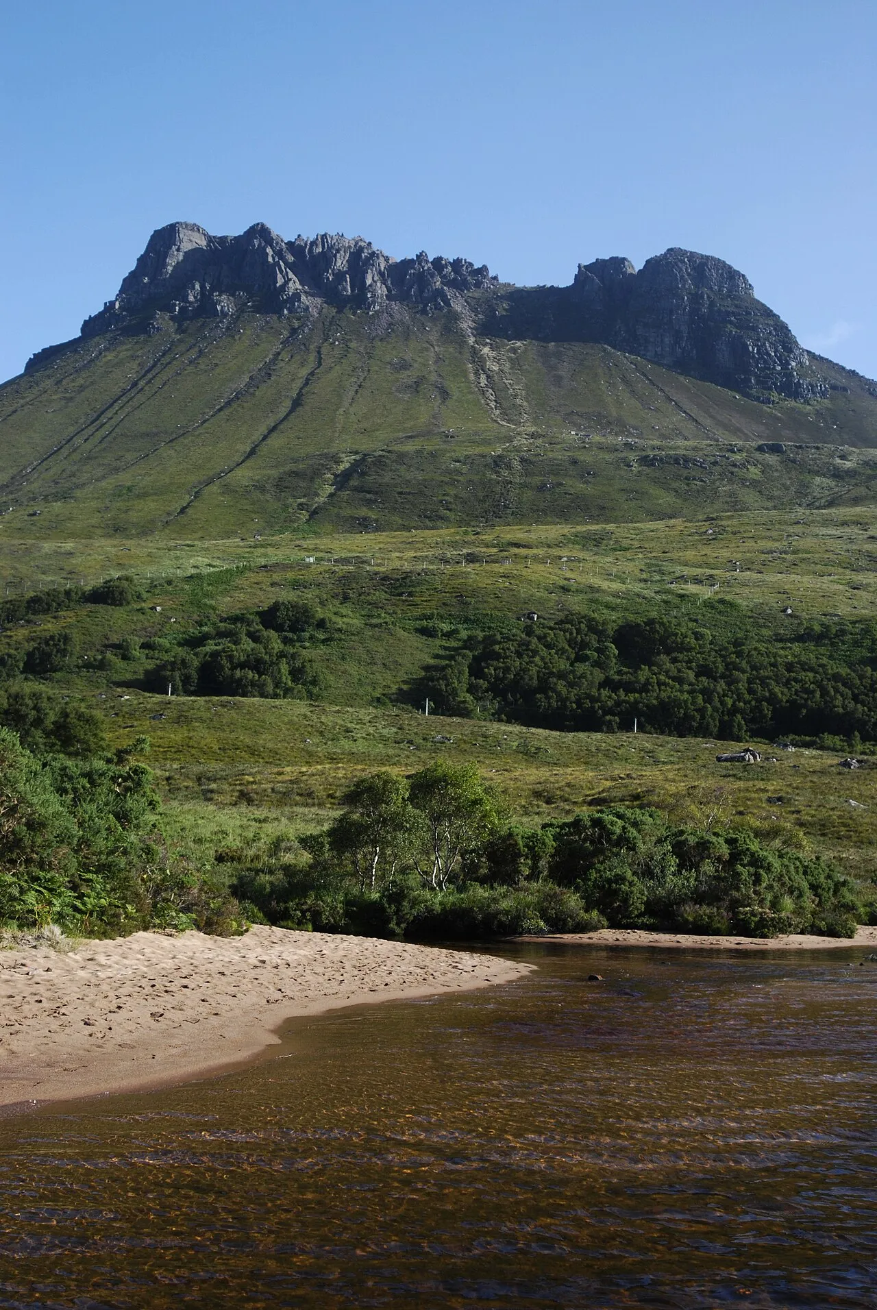
Stac Pollaidh
Located in Highland, Scotland Coordinates: 58°02′39″ N 5°12′31″ W
- Elevation
- 612 m
- above sea level
- Local time
- UTC+00:00
- Europe/London · UTC+00:00
About Stac Pollaidh
Stac Pollaidh is a mountain. Location: Highland, Scotland. Elevation: 612 m.
Stac Pollaidh (Scottish Gaelic pronunciation: [ˈs̪t̪ʰaʰkˈpʰɔɫ̪eɪ]) is a mountain in the Northwest Highlands of Scotland. The peak displays a rocky crest of Torridonian sandstone, with many pinnacles and steep gullies. The ridge was exposed to weathering as a nunatak above the ice sheet during the last Ice Age, while the ice flow carved and scoured the smooth sides of the mountain. The modern Gaelic name is a recent invention.
Read more on Wikipedia Text: Wikipedia contributors · CC BY-SA 4.0 · shortened
At a glance
- Topographic prominence
- 438 m
Source: Wikidata
In comparison
- No. 3068 of 18223 mountains in United Kingdom by elevation
- 113 sights and natural places within 10 km Meall a' Chaorainn, Cnoc Ailein
Airports nearest to Stac Pollaidh
- Stornoway Airport (SYY) Stornoway, Western Isles 69 km
- Inverness Airport (INV) Inverness, Highland 89 km
- Wick John O'Groats Airport (WIC) Wick 133 km
Straight-line distance; airports with scheduled flights only. Source: OurAirports (public domain).
Nearest towns and villages
-
Achiltibuie Village, Highland8.5 km W
-
Badenscallie Village, Highland7.8 km SW
-
Culnacraig Village, Highland7.8 km SW
-
Acheninver Village, Highland8.1 km SW
-
Polglass Village, Highland8.1 km SW
-
Inverkirkaig Village, Highland9.7 km N
Nearby attractions & nature
Everything nearby-
Meall a' Chaorainn Mountain, Highland0.5 km NW
-
Cnoc Ailein Mountain, Highland1.8 km NE
-
Cnuic na Braclach Mountain, Highland1.9 km NE
-
Meall nam Fiadh Mountain, Highland2.1 km N
-
Cnoc Loch Bad na h-Achlaise Mountain, Highland2.4 km SW
-
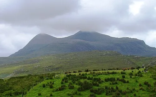 Cul Beag Mountain, Highland3.8 km SE
-
Loch Lurgainn Lake, Highland2.2 km SE
-
Cnoc Loch Lon na h-Uamha Mountain, Highland2.6 km E
Sources & licences
Data last updated: · 2 independent sources