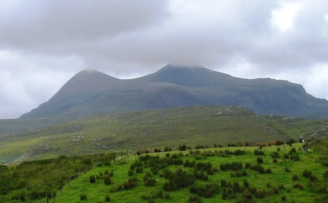
Cul Beag
Located in Highland, Scotland Coordinates: 58°01′46″ N 5°09′04″ W
- Elevation
- 769 m
- above sea level
- Local time
- UTC+00:00
- Europe/London · UTC+00:00
About Cul Beag
Cul Beag is a mountain. Location: Highland, Scotland. Elevation: 769 m.
Cùl Beag is a mountain in Coigach, in the Northwest Highlands of Scotland. It is 15 km north of Ullapool and lies to the south of Cùl Mòr, and to the east of the better-known but lower Stac Pollaidh. Cùl Beag is within the Drumrunie Estate, which was purchased in a community buyout in 2005. It is now owned by the Assynt Foundation.
Read more on Wikipedia Text: Wikipedia contributors · CC BY-SA 4.0 · shortened
At a glance
- Topographic prominence
- 546 m
Source: Wikidata
In comparison
- No. 1487 of 18223 mountains in United Kingdom by elevation
- 98 sights and natural places within 10 km Meall Dearg, Creag Dhubh
Nearest towns and villages
-
Strathcanaird Village, Highland7 km S
-
Knockan Village, Highland7.9 km E
-
Elphin Village, Highland8.1 km NE
-
Culnacraig Village, Highland9 km SW
-
Ullapool Village, Highland15 km S
-
Ardmair Village, Highland11 km S
Nearby attractions & nature
Everything nearby-
Meall Dearg Mountain, Highland0.8 km E
-
Creag Dhubh Mountain, Highland1.6 km SE
-
Cnoc Loch an Doire Dhuibh Mountain, Highland2.2 km N
-
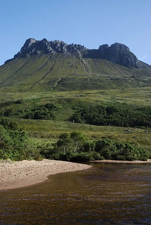 Stac Pollaidh Mountain, Highland3.8 km NW
-
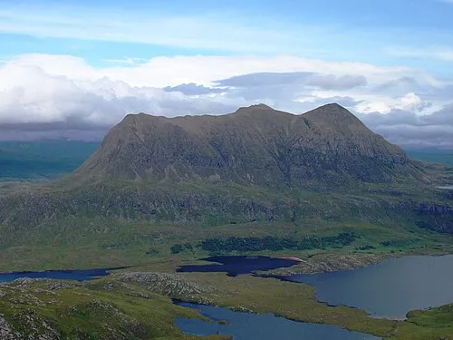 Cul Mor Mountain, Highland3.8 km NE
-
Loch Lurgainn Lake, Highland2 km W
-
An Laogh Mountain, Highland2.6 km NE
-
Cnoc Loch Lon na h-Uamha Mountain, Highland2.8 km N
Sources & licences
Data last updated: · 2 independent sources