- Elevation
- 37 m
- above sea level
- Local time
- UTC+00:00
- Europe/London · UTC+00:00
- Airports
- SYY Stornoway Airport66 km
- BEB Benbecula Airport71 km
About Staffin
Staffin is a village. Location: Highland, Scotland. Elevation: 37 m.
Staffin (Scottish Gaelic: Stafain) is a township with the Gaelic name An Taobh Sear, which translates as "the East Side", on the northeast coast of the Trotternish peninsula on the Isle of Skye. It is located on the A855 road about 17 miles (27 kilometres) north of Portree and is overlooked by the Trotternish Ridge (including the Quiraing). The township forms part of a parish comprising 23 townships.
Read more on Wikipedia Text: Wikipedia contributors · CC BY-SA 4.0 · shortened
In comparison
- Nearest larger town: Uig, 10 km SW
- 55 sights and natural places within 10 km Kilmartin River, Staffin Island
Climate of Staffin
Best months for sightseeingBest months for sightseeing: July.
Bars: average monthly low and high temperature. Below: precipitation. Monthly averages for 1970–2000 at about 18 km resolution, adjusted for elevation. Highlighted months are mild and relatively dry. Source: WorldClim 2.1 (CC BY 4.0).
Show values as a table
| Month | Jan | Feb | Mar | Apr | May | Jun | Jul | Aug | Sep | Oct | Nov | Dec |
|---|---|---|---|---|---|---|---|---|---|---|---|---|
| Average high (°C) | 7° | 7° | 8° | 10° | 13° | 15° | 17° | 17° | 15° | 12° | 9° | 8° |
| Average low (°C) | 3° | 3° | 3° | 4° | 7° | 10° | 12° | 12° | 10° | 7° | 5° | 3° |
| Precipitation (mm) | 207 | 140 | 173 | 101 | 92 | 106 | 117 | 132 | 200 | 223 | 230 | 221 |
Other places to visit in this season: July
Airports nearest to Staffin
- Stornoway Airport (SYY) Stornoway, Western Isles 66 km
- Benbecula Airport (BEB) Balivanich 71 km
- Barra Airport (BRR) Eoligarry 100 km
Straight-line distance; airports with scheduled flights only. Source: OurAirports (public domain).
Nearby attractions & nature
Everything nearby-
Kilmartin River River, Highland1 km SW
-
Staffin Island Island, Highland1.1 km N
-
Cadha Riach Mountain, Highland1.1 km E
-
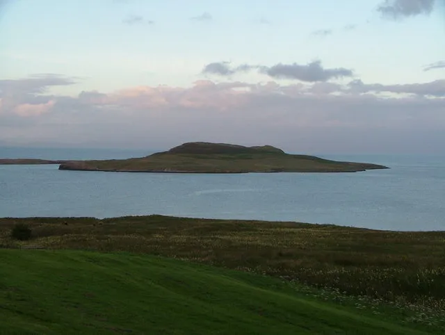 Eilean Flodigarry Island, Highland5 km N
-
Quirang Mountain, Highland2.8 km W
-
Staffin Bay Natural site, Scotland2.4 km NW
Sources & licences
Data last updated: · 2 independent sources